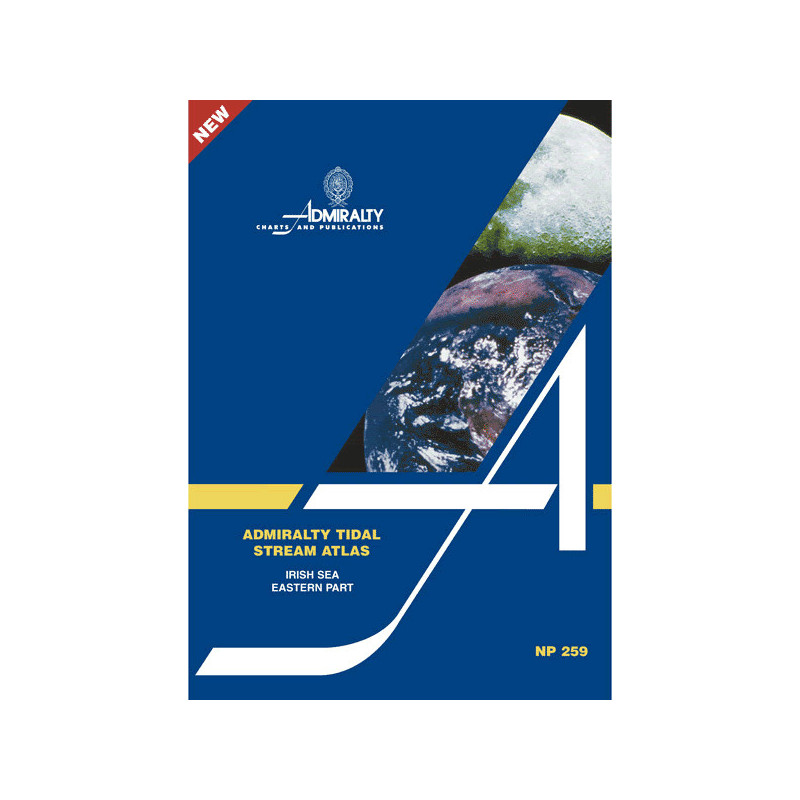


Admiralty - NP259 - Tidal Stream Atlas Irish Sea Eastern Part
search
  • googlemap
  • Admiralty - NP259 - Tidal Stream Atlas Irish Sea Eastern Part

Admiralty - NP259 - Tidal Stream Atlas Irish Sea Eastern Part

€44.05
Tax included
Admiralty - United Kingdom Hydrographic Office

In English language
Estimated preparation time: 5 to 14 days

Navigate the eastern Irish Sea with confidence using this Tidal Stream Atlas. It provides detailed hourly tidal current charts, including speed and direction, for smarter and safer maritime journeys.

NP259

Data sheet

Who is the publisher or the author?
Admiralty
On what digital medium is this nautical chart / book stored?
paper medium
What type of navigation book is this?
tidal currents
What is the size?
paper medium
Picto
In English language

Specific References

UPC
400000062976
EAN13
4000000108092
New
Description détaillée

Tidal Stream Atlas Eastern Part of the Irish Sea

Publication in English
Paperback edition

Precision Navigation for Maritime Professionals

Navigate the dynamic waters of the eastern Irish Sea with unmatched accuracy. This tidal stream atlas delivers hourly tidal current data, ensuring safe and efficient voyage planning for commercial vessels, fishing fleets, and maritime operators. Every detail is meticulously mapped to support critical decision-making in one of Europe’s busiest maritime regions.

Comprehensive Tidal Data at a Glance

  • Hourly tidal stream directions and velocities, represented through graduated arrows for clarity
  • Mean neap and spring tidal rates in tenths of a knot, providing granular insights into current strength
  • Visual diagrams for quick reference, eliminating guesswork in route optimization
  • Supplementary chart for calculating tidal flow on specific dates, tailored to real-time navigation needs

Engineered for Professional Use

Designed for the demands of commercial shipping, offshore operations, and maritime logistics, this atlas transforms complex tidal patterns into actionable intelligence. Its paperback format ensures durability and ease of use on deck, while the standardized data presentation aligns with international maritime standards. Trusted by mariners for over a decade, it remains an indispensable tool for mastering the unpredictable currents of the eastern Irish Sea.

Optimized for Operational Efficiency

  • Reduces fuel consumption by enabling route adjustments based on tidal currents
  • Minimizes transit times with precise, hour-by-hour tidal predictions
  • Enhances safety by mitigating risks associated with strong or shifting currents
  • Compatible with standard navigational workflows, integrating seamlessly with other maritime charts and tools

Reliability Backed by Expertise

Published by a leading authority in hydrographic data, this atlas is built on decades of oceanographic research and real-world validation. Its 2006 edition remains the benchmark for tidal stream analysis in the region, offering consistency and accuracy that digital alternatives often lack. Whether for routine voyages or complex offshore operations, this resource delivers the confidence needed to navigate with precision.

Master the Tides of the Eastern Irish Sea with Unrivaled Precision
This tidal stream atlas is the definitive resource for mariners navigating the challenging waters of the eastern Irish Sea. Designed for professionals who demand accuracy, it provides hourly tidal current data—direction and velocity—through clear, graduated arrow diagrams. With mean neap and spring tidal rates detailed in tenths of a knot, it offers the granularity needed to optimize routes, reduce fuel consumption, and enhance safety in one of Europe’s most trafficked maritime zones.

Engineered for Real-World Maritime Operations
Built for commercial shipping, fishing fleets, and offshore operators, this atlas translates complex tidal patterns into actionable intelligence. Its paperback format ensures durability and ease of use on deck, while the supplementary diagram allows for quick calculations of tidal flow on specific dates. Whether planning a routine voyage or managing a high-stakes offshore operation, this tool delivers the reliability and precision required to navigate with confidence.

Trusted by Mariners for Over a Decade
Since its 2006 publication, this atlas has set the standard for tidal stream analysis in the region. Backed by decades of oceanographic research, it provides consistent, validated data that digital alternatives often struggle to match. Its integration with standard navigational workflows makes it an indispensable companion for any maritime professional operating in the eastern Irish Sea.

This tidal stream atlas provides detailed tidal current data for the eastern part of the Irish Sea, including hourly direction and velocity in tenths of a knot for mean neap and spring tides. Published in 2006, it features a durable paperback format, weighs 0.23 lb, and covers critical maritime zones with visual diagrams for quick reference. The publication is in English and designed for professional use in commercial and offshore navigation.

With a legacy spanning over two centuries, this hydrographic office is a global leader in maritime data and navigation solutions. Renowned for its precision and reliability, it provides essential resources for commercial shipping, offshore industries, and maritime safety, setting the standard for navigational excellence worldwide.

  • This tidal stream atlas offers unmatched accuracy in tidal current predictions, enabling mariners to optimize routes, reduce fuel costs, and enhance safety.
  • Its durable paperback format ensures reliability in demanding maritime environments, while the clear visual diagrams simplify complex data for quick decision-making.
  • Backed by decades of oceanographic expertise, it remains the trusted choice for professionals navigating the eastern Irish Sea.
What is the reference port used for tidal stream calculations?

The atlas provides tidal stream data for each hour before and after the reference port, though the specific reference port is not listed. It covers tidal directions and speeds in the eastern part of the Irish Sea.

How are tidal stream speeds represented in the atlas?

Tidal stream speeds are shown using graduated arrows, indicating mean rates for neap and spring tides in tenths of a knot.

Can this atlas be used for planning long-distance voyages?

Yes, it includes a diagram to calculate tidal stream flow for any given date, making it useful for voyage planning in the covered area.

Is the tidal data in this atlas suitable for both neap and spring tides?

Yes, the atlas provides tidal stream rates for both neap and spring tides, along with mean rates.

What is the publication year of the current edition?

The current edition was published in 2006.

Is this atlas available in languages other than English?

No, the atlas is only available in English.

How much does the atlas weigh?

The atlas weighs 0.23 lb.

Loading...