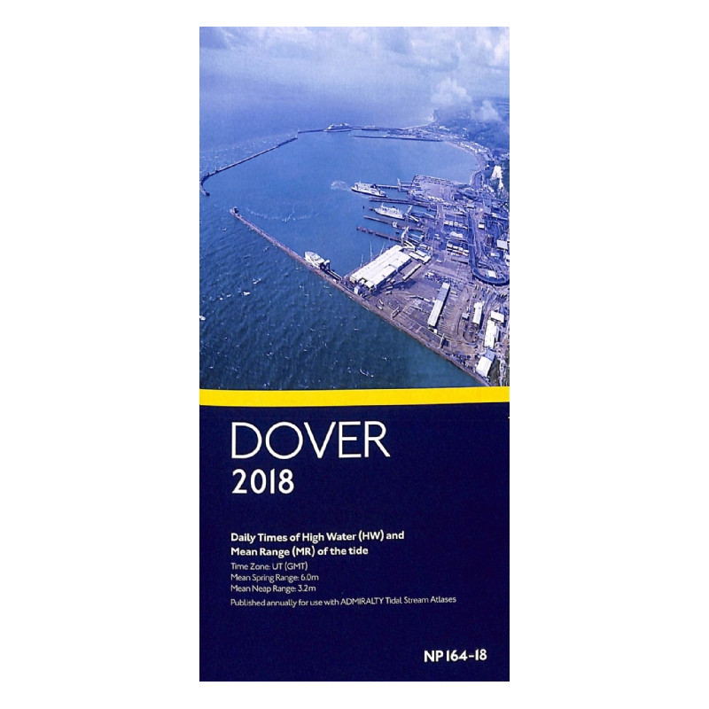




Essential for sailors, this annual tide table provides daily high water times and mean tidal ranges for Dover. Reliable, accurate, and published in UT (GMT) for safe navigation.
Data sheet
Specific References
Master the Tides of Dover with Unmatched Precision
Navigating the waters around Dover demands accuracy, and this annual tide table delivers just that. Designed for mariners who refuse to compromise on safety and efficiency, the *Dover Daily Times of High Water and Mean Range of Tide* provides daily high water times and mean tidal ranges for one of the most critical maritime zones in the world. Whether you're a commercial ship captain, port authority, or recreational sailor, this publication ensures you have the data needed to plan your voyages with confidence.
Critical Data for Every Voyage
This tide table is more than just a reference—it’s a lifeline for safe navigation. It includes daily high water times in UT (GMT), allowing you to synchronize your schedule with the tides effortlessly. With mean tidal range data, including average spring tide amplitudes of 6.0 meters and neap tide amplitudes of 3.2 meters, you can accurately predict water depths and current strengths. This level of detail is essential for avoiding grounding risks, optimizing fuel consumption, and ensuring smooth passage through the Dover Strait.
Seamless Integration with Your Navigation Toolkit
Designed to work in tandem with Admiralty tidal stream atlases, this publication provides a complete solution for tidal planning. Its annual updates ensure you’re always working with the most current data, reflecting the latest hydrographic surveys and tidal predictions. The compact, folded format makes it easy to store and reference, whether you're on the bridge of a cargo ship or the deck of a sailboat. Printed on durable, weather-resistant paper, it’s built to withstand the demands of life at sea.
Built for Professionals, Trusted by Mariners
This tide table is a staple for maritime professionals who rely on precision. Port authorities, offshore operators, and commercial shipping companies depend on its accuracy to manage operations in one of the busiest shipping lanes in the world. Recreational boaters and fishermen also benefit from its reliability, using it to plan trips around optimal tidal conditions and avoid unexpected hazards. With a legacy of trust among mariners, this publication is your assurance of safe and efficient navigation.
This annual tide table provides daily high water times and mean tidal ranges for Dover, presented in UT (GMT). It includes average spring tide amplitudes of 6.0 meters and neap tide amplitudes of 3.2 meters, ensuring precise tidal planning. The publication is printed on durable, weather-resistant paper in a compact, folded format, weighing 1.9 kg. Updated annually, it reflects the latest hydrographic data and is designed for seamless use alongside Admiralty tidal stream atlases.
With a legacy spanning over two centuries, this publisher is a global leader in hydrographic data and maritime navigation solutions. Renowned for its precision and reliability, it provides essential tools for mariners, shipping industries, and naval operations worldwide. Its publications, trusted by professionals and recreational sailors alike, set the standard for accuracy in tidal, current, and navigational data.
The tide times are provided in Universal Time (UT), which is equivalent to Greenwich Mean Time (GMT).
This publication is updated annually, with a new edition released each year.
The paper version weighs 1.9 kg.
No, this publication is only available in English.
The mean spring tide range for Dover is 6.0 meters.
The mean neap tide range for Dover is 3.2 meters.
It is designed to be used alongside tidal stream atlases for comprehensive tide and current predictions.
You might also like