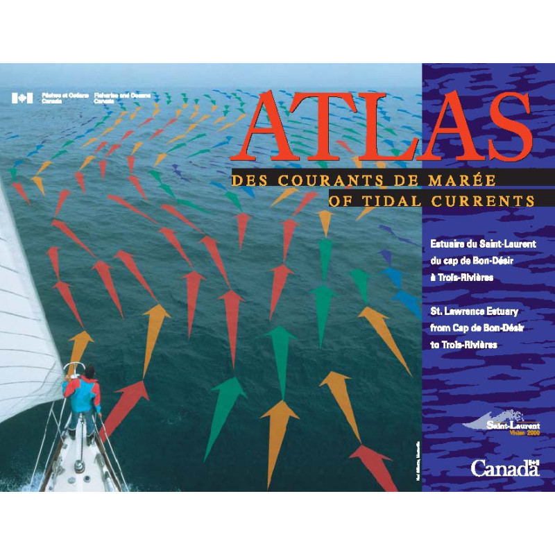




Optimize your route with this St. Lawrence Estuary tidal currents atlas. Covers Cap de Bon-Désir to Trois-Rivières, with hourly current data, summer flow patterns, and a navigation ruler included.
Data sheet
Specific References
Navigate the St. Lawrence Estuary with Unmatched Precision
This tidal current atlas is the definitive resource for mariners operating in the St. Lawrence Estuary, offering a detailed, hour-by-hour breakdown of tidal currents from Cap de Bon-Désir to Trois-Rivières. Designed for professionals who cannot afford guesswork, this publication provides the data you need to plan safe, efficient, and timely voyages in one of North America’s most critical waterways.
Visualize Tidal Currents Like Never Before
The atlas features 108 pages of high-impact charts, each displaying tidal current direction and speed with intuitive arrows. These visualizations account for both tidal forces and summer river flow, giving you a clear picture of how currents will behave at any given hour. Whether you’re navigating narrow channels or open waters, this tool ensures you’re always prepared for what lies ahead.
Built for the Realities of Life at Sea
Engineered with mariners in mind, this atlas is spiral-bound for durability and ease of use on deck. It includes a plastic navigation ruler, allowing you to measure distances and plan routes without the need for additional tools. The bilingual format (English and French) ensures accessibility for international crews, while the 2021 edition guarantees you’re working with the most current data available.
More Than Just an Atlas—A Complete Navigation System
This publication is designed to work seamlessly with the annual Canadian Tide and Current Tables, providing a comprehensive solution for tidal navigation. Together, they offer the precision and reliability that professional mariners demand. The variable scales used throughout the atlas ensure you have the right level of detail for every segment of your journey, from the bustling ports near Trois-Rivières to the more remote stretches near Cap de Bon-Désir.
This tidal current atlas delivers essential data in a practical, user-friendly format. With 108 pages of detailed charts, it covers the St. Lawrence Estuary from Cap de Bon-Désir to Trois-Rivières, offering hourly visualizations of tidal current speed and direction. The spiral-bound paperback measures 28 cm and includes a plastic navigation ruler for on-the-go reference. Weighing 2 kg, this bilingual (English/French) publication is part of the Canadian Tidal Publications series and was last updated in 2021.
With a legacy of providing critical hydrographic data, this organization is a trusted authority in maritime navigation. Their publications are designed to meet the rigorous demands of professional mariners, offering precise, reliable, and up-to-date information for safe and efficient voyages. Each product reflects a commitment to accuracy, practicality, and innovation in the field of tidal and current navigation.
The atlas covers the tidal currents in the St. Lawrence Estuary from Cap de Bon-Désir to Trois-Rivières.
The atlas provides hourly updates on the direction and speed of surface tidal currents.
No, it should be used in combination with the annual Tide and Current Tables for accurate navigation.
The atlas features a spiral binding for easy handling and durability.
Yes, the plastic navigation ruler is designed for use with standard nautical charts.
The digital (PDF) version of the atlas has a file size of 34.02 MB.
No, the atlas uses variable scales depending on the specific area and detail required.
You might also like