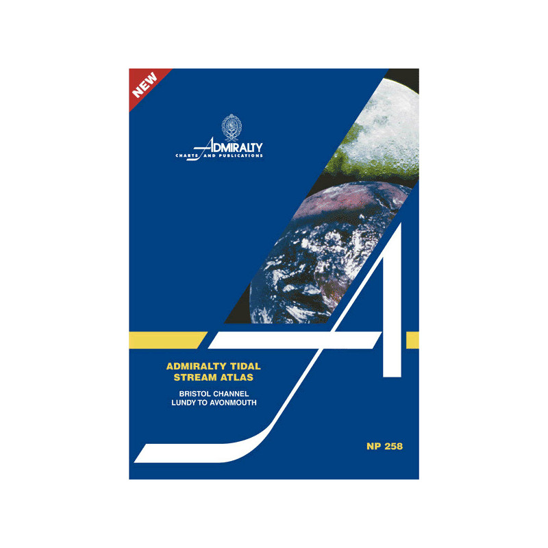


Admiralty - NP258 - Tidal Stream Atlas Bristol Channel Lundy to Avonmouth
search
  • googlemap
  • Admiralty - NP258 - Tidal Stream Atlas Bristol Channel Lundy to Avonmouth

Admiralty - NP258 - Tidal Stream Atlas Bristol Channel Lundy to Avonmouth

€44.05
Tax included
Admiralty - United Kingdom Hydrographic Office
In English language
Estimated preparation time: 5 to 14 days

Plan your voyage in the Bristol Channel with this tidal stream atlas. Covers Lundy to Avonmouth, detailing hourly current speeds, directions, and neap/spring tide rates for optimal navigation.

NP258

Data sheet

Who is the publisher or the author?
Admiralty
On what digital medium is this nautical chart / book stored?
paper medium
From which year does this nautical chart date?
2006
What type of navigation book is this?
tidal currents
What is the size?
paper medium
Picto
In English language

Specific References

UPC
400000062969
EAN13
4000000108085
New
Description détaillée

Tidal Stream Atlas Bristol Channel Lundy to Avonmouth

Publication in English
Paperback edition

Precision Navigation for Maritime Professionals

Navigate the challenging waters of the Bristol Channel with unmatched accuracy. This tidal stream atlas delivers hourly tidal current data, ensuring safe and efficient passage planning for commercial vessels, fishing fleets, and maritime operators. Designed for professionals who demand reliability, it transforms complex tidal patterns into clear, actionable insights.

Comprehensive Tidal Data at Your Fingertips

  • Detailed diagrams mapping tidal streams from Lundy to Avonmouth, covering every critical segment of the Bristol Channel
  • Hourly current direction and velocity, represented by graduated arrows for quick visual reference
  • Mean neap and spring tidal rates in tenths of a knot, allowing for precise speed and route adjustments
  • Customizable current flow calculations for specific dates, ensuring real-time adaptability

Engineered for Professional Use

This atlas is a vital tool for maritime professionals navigating one of the UK’s most dynamic tidal regions. The Bristol Channel’s powerful currents and shifting conditions demand accurate, up-to-date data—this publication delivers exactly that. Whether you’re piloting a cargo ship, managing a fishing operation, or overseeing marine logistics, this atlas provides the clarity needed to optimize routes, reduce fuel consumption, and enhance safety.

Optimized for Practical Application

  • Clear, large-format diagrams for effortless interpretation, even in high-pressure situations
  • Durable paperback design, built to withstand frequent use in marine environments
  • Trusted data from the United Kingdom Hydrographic Office, the gold standard for maritime navigation
  • Ideal for integration with other navigational tools, including charts and electronic systems

Why This Atlas is Indispensable

The Bristol Channel’s tidal streams are among the most complex in Northern Europe, with currents that can shift rapidly and impact vessel performance. This atlas eliminates guesswork by providing scientifically validated data, allowing navigators to anticipate changes and make informed decisions. From avoiding hazardous conditions to optimizing transit times, this publication is an essential resource for anyone operating in these waters.


Master the Bristol Channel’s Tidal Challenges with Precision-Engineered Navigation Data
The Tidal Stream Atlas for the Bristol Channel (Lundy to Avonmouth) is a critical resource for maritime professionals navigating one of the UK’s most demanding tidal zones. This paperback atlas provides hourly tidal current data, including direction and velocity, represented through graduated arrows for instant visual interpretation. With mean neap and spring tidal rates displayed in tenths of a knot, it offers the granularity needed for safe and efficient route planning. Whether you’re piloting a commercial vessel, managing a fishing fleet, or overseeing marine logistics, this atlas delivers the accuracy required to navigate with confidence.

Designed for Real-World Maritime Operations
This atlas is more than just a collection of data—it’s a practical tool built for the rigors of professional navigation. The Bristol Channel’s powerful and unpredictable currents demand reliable, up-to-date information, and this publication delivers exactly that. Each diagram is meticulously crafted to provide clear, actionable insights, allowing navigators to anticipate tidal shifts and adjust their routes accordingly. The durable paperback format ensures it withstands frequent use in marine environments, making it a dependable companion for daily operations.

Seamless Integration with Your Navigation Workflow
Optimized for use alongside other navigational tools, this tidal stream atlas enhances your existing systems by providing a tangible, easy-to-reference resource. The large-format diagrams ensure quick interpretation, even in high-pressure situations, while the inclusion of a customizable current flow calculator allows for real-time adjustments based on specific dates. Trusted by maritime professionals worldwide, this atlas is an indispensable asset for anyone operating in the Bristol Channel’s dynamic waters.

This tidal stream atlas provides comprehensive tidal current data for the Bristol Channel, covering the area from Lundy to Avonmouth. It includes hourly direction and velocity of tidal streams, represented by graduated arrows, with mean neap and spring tidal rates displayed in tenths of a knot. The paperback edition, published in 2006, weighs 0.23 lb and is designed for professional maritime use, offering a durable and practical format for navigation.

For over two centuries, this organization has set the standard for maritime navigation, providing hydrographic data and publications trusted by professionals worldwide. Their expertise ensures that every product, from tidal atlases to nautical charts, meets the highest accuracy and reliability standards, making them an essential resource for safe and efficient navigation.

  • This tidal stream atlas offers unparalleled precision for navigating the Bristol Channel’s complex currents, with hourly data on direction and velocity, mean neap and spring tidal rates, and a customizable current flow calculator.
  • Its durable paperback design and large-format diagrams ensure ease of use in demanding marine environments, while the trusted data source guarantees reliability for professional maritime operations.
What is the scale used for tidal stream speeds in this atlas?

The atlas displays tidal stream speeds in tenths of a knot, using graduated arrows to indicate direction and velocity for both neap and spring tides.

How often are tidal current directions and speeds updated in the diagrams?

Tidal current directions and speeds are illustrated hourly, providing detailed data for each hour of the tidal cycle.

Can this atlas be used to calculate tidal streams for a specific date?

Yes, it includes a diagram designed to help calculate tidal stream flow for any given date within the covered region.

What is the weight of the atlas?

The atlas weighs 0.23 lb, making it lightweight and easy to handle.

Is this atlas suitable for professional maritime navigation?

Yes, it provides precise tidal stream data, including direction and speed, essential for safe and accurate navigation in the Bristol Channel.

What type of binding does this atlas use?

The atlas is published in a paperback format, ensuring durability for frequent use.

Does the atlas cover tidal streams for the entire Bristol Channel?

It specifically covers the area from Lundy to Avonmouth within the Bristol Channel, providing focused and detailed tidal stream information.

Loading...