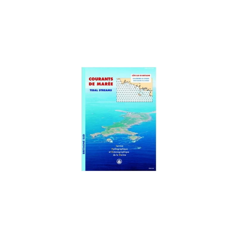



Shom - 558-UJC - courant de marée : Côte Sud de Bretagne, d'Audierne au Croisic

search
  • googlemap
  • Shom - 558-UJC - courant de marée : Côte Sud de Bretagne, d'Audierne au Croisic

Shom - 558-UJC - courant de marée : Côte Sud de Bretagne, d'Audierne au Croisic

€42.40
Tax included
Shom - Service Hydrographique et Océanographique de la Marine
Chart or book in digital version In French language
Book programmed to order
Estimated preparation time: 0 to 3 days

Plan your voyages along Brittany’s southern coast with this detailed tidal currents atlas. Includes hourly surface current maps for Penmarc’h, Groix-Lorient, Quiberon Bay, and the Gulf of Morbihan.

shom-558UJC

Data sheet

Who is the publisher or the author?
Shom
On what digital medium is this nautical chart / book stored?
digital medium
download
From which year does this nautical chart date?
2026
What type of navigation book is this?
tidal currents
Picto
Chart or book in digital version
In French language

Specific References

UPC
400000062631
EAN13
4000000180661
New
Book programmed to order
Description détaillée

Tidal Current Atlas: Southern Brittany Coast, from Audierne to Le Croisic

Publication in French
Digital version

Precision Navigation for Maritime Professionals

Master the dynamic waters of Southern Brittany with this comprehensive tidal current atlas, designed for commercial mariners, fishermen, and environmental specialists. This digital resource delivers hourly surface current data across four critical sectors—Penmarc’h, Groix-Lorient, Quiberon Bay, and the Gulf of Morbihan—enabling safer, more efficient voyages in one of France’s most trafficked maritime regions.

Engineered for Accuracy and Reliability

  • Built on high-resolution hydrodynamic models integrating tidal patterns, bathymetry, and coastal geography
  • Covers a full semi-diurnal tidal cycle with 12 detailed maps per sector, updated for both spring and neap tides
  • Mercator projection ensures geospatial precision for route planning and operational decision-making
  • Digital PDF format allows instant access via download link, with updates included for one year

Critical Tool for Commercial and Environmental Operations

Essential for merchant shipping, port authorities, and offshore industries, this atlas supports:

  • Optimized route planning to reduce fuel consumption and transit times
  • Safe navigation in high-traffic zones and near complex coastlines
  • Environmental assessments, including pollutant dispersion modeling and port infrastructure projects
  • Fishing and aquaculture operations, improving catch efficiency and gear deployment

Designed for Professional Use

  • Licensed for use on up to 5 workstations, ideal for vessel crews and shore-based teams
  • Unlimited validity ensures long-term utility without expiration
  • Regular updates maintain data accuracy in evolving maritime conditions

Trusted Resource for Maritime Safety and Efficiency

Backed by decades of oceanographic expertise, this atlas is the standard reference for professionals navigating Southern Brittany’s challenging waters. Whether managing cargo routes, conducting environmental studies, or supporting offshore activities, this tool delivers the real-time, actionable data needed to operate with confidence.

Navigate Southern Brittany’s Tidal Waters with Unmatched Precision
This digital tidal current atlas is the definitive resource for professionals operating along the Southern Brittany coast, from Audierne to Le Croisic. Engineered for commercial shipping, fishing fleets, and environmental agencies, it provides hourly surface current data across four high-traffic sectors: Penmarc’h, Groix-Lorient, Quiberon Bay, and the Gulf of Morbihan. With 12 detailed maps per sector, covering both spring and neap tides, this tool ensures safer, faster, and more efficient maritime operations in one of France’s most dynamic coastal regions.

Built on Advanced Hydrodynamic Modeling
Leveraging cutting-edge hydrodynamic simulations, this atlas integrates tidal patterns, bathymetric data, and coastal geography to deliver unparalleled accuracy. The Mercator projection guarantees geospatial precision, making it ideal for route optimization, port planning, and environmental impact assessments. Whether navigating narrow channels or open waters, users gain real-time insights into current behavior, reducing risks and operational costs.

Optimized for Professional Workflows
Designed for merchant mariners, port authorities, and offshore industries, this digital atlas is licensed for use on up to 5 workstations, ensuring accessibility for vessel crews and shore-based teams. Delivered as a PDF via secure download link, it offers instant access with free updates for one year, maintaining data relevance in evolving maritime conditions. Its unlimited validity ensures long-term utility, making it a cost-effective investment for any professional operation.

This digital tidal current atlas covers the Southern Brittany coast from Audierne to Le Croisic, featuring 48 high-resolution maps (12 per sector) detailing surface currents at hourly intervals. Based on semi-diurnal tidal cycles, it includes data for both spring and neap tides, with a Mercator projection for geospatial accuracy. Delivered in PDF format, it supports use on 5 workstations and includes free updates for one year.

With over 300 years of expertise in hydrography and oceanography, this organization is the official authority for maritime data in France. Specializing in tidal modeling, bathymetric surveys, and navigational safety, it provides critical resources for commercial shipping, defense, and environmental management worldwide.

  • This tidal current atlas delivers actionable, real-time data for safer and more efficient navigation, reducing fuel costs and transit times.
  • Its hydrodynamic modeling ensures accuracy in high-traffic zones, while the digital format enables instant access and seamless updates.
  • Licensed for professional use, it supports commercial, environmental, and operational decision-making with long-term reliability.
What geographic areas are covered by the tidal current maps?

The maps cover the southern coast of Brittany, including four sectors: Penmarc’h, Groix-Lorient, Quiberon Bay, and the Gulf of Morbihan, spanning from Audierne to Le Croisic.

How many tidal current maps are included for each sector?

Each sector includes twelve maps illustrating surface currents at hourly intervals over a typical semi-diurnal tidal cycle.

What data sources are used to create the tidal current maps?

The data is based on hydrodynamic models that incorporate tides, currents, and bathymetry for precise and reliable tidal current predictions.

Is the PDF compatible with all devices?

The PDF can be accessed on up to five different computer workstations, but it is not optimized for mobile devices or tablets.

How long are updates available after purchase?

Free updates are provided for one year from the date of purchase.

What projection system is used for the maps?

The maps use the Mercator projection, a standard for nautical charts and tidal current representations.

Are the maps available in languages other than French?

Currently, the maps and accompanying documentation are only available in French.

Loading...