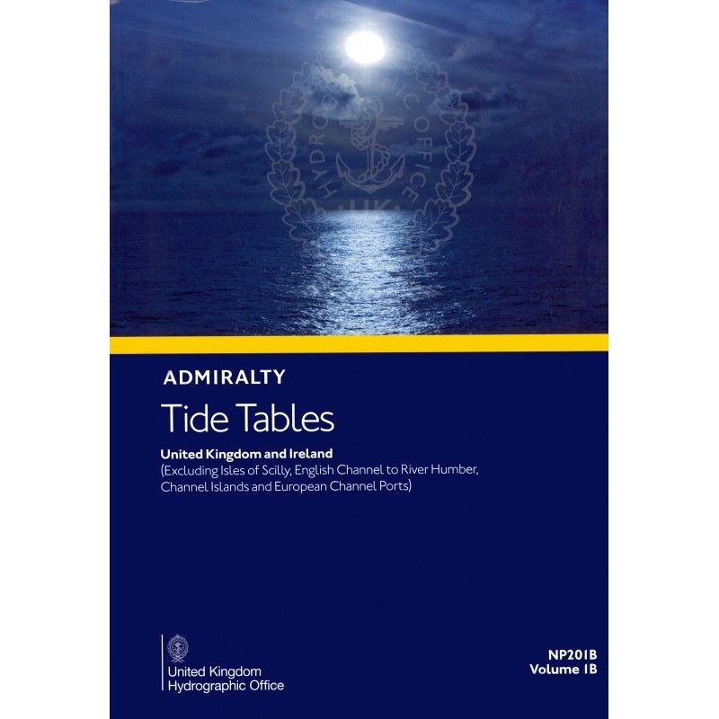




Navigate with confidence using 2026 tide tables for 230+ UK and Ireland ports (excluding the English Channel). Includes daily tide times, heights, currents, and weather effects for 6,000+ locations.
Data sheet
Specific References
Navigate the waters of the United Kingdom and Ireland with confidence using the most comprehensive and reliable tide tables available. Designed for mariners who demand accuracy, this essential nautical publication delivers daily high and low water times and heights for over 6,230 ports, ensuring you have the critical data needed for safe passage planning and operational efficiency.
This publication is a must-have for commercial shipping, fishing fleets, offshore operations, and maritime authorities. With daily tidal predictions for every day of the year (2026 edition), it provides the foundational data required for voyage planning, port operations, and compliance with maritime regulations. The printed format ensures accessibility even in environments where digital tools may not be available, making it a dependable resource for vessels of all sizes.
Beyond tidal predictions, this volume includes practical tools to enhance your navigation strategy. From tidal stream atlases to methods for adjusting predictions based on meteorological conditions, it equips you with the knowledge to make informed decisions in real time. Whether you’re navigating coastal waters, entering a busy port, or planning a long-haul voyage, this publication is your go-to reference for tidal intelligence.
Master the Tides with Unmatched Precision
For mariners who refuse to compromise on accuracy, the *Tide Tables Vol 2, United Kingdom: Excluding English Channel* is the definitive printed resource for tidal data. Covering every day of 2026, this volume provides high and low water times and heights for over 6,230 ports, including 230 standard ports and 6,000 secondary locations across the UK and Ireland. Whether you’re navigating commercial shipping routes, fishing grounds, or offshore operations, this publication ensures you have the critical data needed to plan safe and efficient voyages.
Engineered for the Demands of Professional Navigation
Designed with maritime professionals in mind, this tide table delivers more than just raw data—it provides actionable insights. Alongside daily tidal predictions, you’ll find detailed information on tidal streams, methods for adjusting predictions based on weather conditions, and notes on exceptional tidal factors unique to each region. The 2026 edition weighs 1.9 kg, making it a substantial yet portable reference that meets the rigorous standards of the global maritime industry. Its printed format guarantees reliability, even in environments where digital tools may fail.
Unrivaled Coverage for Complex Waters
This volume focuses on the United Kingdom and Ireland, excluding the Isles of Scilly, the English Channel up to the River Humber, the Channel Islands, and European ports along the Channel. With coverage spanning latitudes from 48.56°N to 62.15°N and longitudes from 15.14°W to 2.51°E, it addresses the unique challenges of navigating these waters. From the bustling ports of Scotland to the remote coastlines of Ireland, this publication ensures you’re equipped with the tidal intelligence needed to navigate safely and efficiently.
A Legacy of Trust and Reliability
Trusted by mariners for generations, this tide table is published by a globally recognized authority in hydrographic data. Its reputation for precision and consistency makes it an indispensable tool for commercial shipping, fishing fleets, and maritime authorities. Available through a worldwide network of authorized distributors, it’s the go-to resource for professionals who demand the highest standards of accuracy in their navigational tools.
This 2026 edition of the *Tide Tables Vol 2* provides daily high and low water times and heights for over 6,230 ports, including 230 standard ports and 6,000 secondary ports across the United Kingdom and Ireland. Weighing 1.9 kg, the printed volume covers latitudes from 48.56°N to 62.15°N and longitudes from 15.14°W to 2.51°E, excluding the English Channel, Isles of Scilly, and Channel Islands. It includes tidal stream data, prediction methods, and insights into weather-related tidal variations, making it an essential tool for professional navigation.
With a legacy spanning over a century, this publisher is a globally trusted authority in hydrographic data and nautical publications. Renowned for its precision, reliability, and commitment to maritime safety, it provides essential tools for commercial shipping, fishing fleets, and offshore operations worldwide. Its publications are the gold standard for mariners who demand the highest level of accuracy in their navigational resources.
The tide tables book weighs 1.9 kg, making it portable yet comprehensive for navigation planning.
This volume covers tide data for the United Kingdom and Ireland, excluding the Isles of Scilly, the English Channel up to the River Humber, the Channel Islands, and European ports along the Channel.
It includes data for over 230 standard ports and 6,000 secondary ports, ensuring extensive coverage for navigational needs.
Yes, it provides data on tidal currents, along with methods for predicting tides and the effects of weather conditions on tidal patterns.
No, the tide tables are published exclusively in English.
The 2026 edition covers tide predictions for every day of the year, ensuring year-round navigational accuracy.
Yes, the book includes additional information on exceptional tidal factors specific to each covered zone for safer navigation.
You might also like