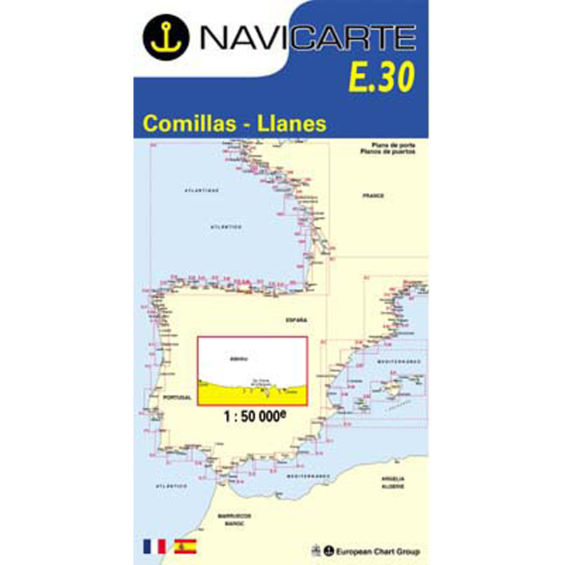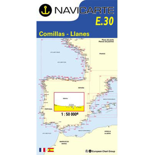





Navicarte nautical chart, coasts of France and Spain.
Data sheet
Specific References
The Navicarte E30 – Comillas – Llanes nautical chart is a folded paper chart designed for coastal navigation along the northern coast of Spain. It covers the area between Comillas and Llanes, on the Spanish Atlantic coast.
With a scale of 1:50,000, this Navicarte nautical chart is suitable for planning coastal routes, sailing or motorboat cruises, and passages along the Cantabrian coast. Its paper format provides an overall view of the area directly on the chart table.
This chart is part of the Navicarte series covering different sections of the Spanish Atlantic coastline.
Navicarte E30 covers a section of the northern Spanish coastline between Comillas and Llanes. It forms part of the Navicarte chart series covering the Spanish Atlantic coast and can be used to complete the chart coverage required for a longer coastal passage.
For sailors planning a cruise in Cantabria or Asturias, this chart provides a practical working support for viewing the coastline, studying the intended route and planning the different stages of a coastal passage.
The 1:50,000 scale is particularly useful for coastal navigation: it provides a relatively broad view of the area while retaining a level of detail suitable for route planning.
Before departure, Navicarte E30 can be used on a chart table to build the overall route.
The navigator can plot the intended course, measure distances between different points, determine course changes and identify coastal features that need to be considered during passage planning.
A paper chart is particularly useful for maintaining an overall view that can sometimes be lost when electronic systems are highly zoomed in on a specific area.
This approach is especially valuable when planning coastal navigation where several route options need to be compared before departure.
Reading Navicarte E30 requires an understanding of the main cartographic elements used for navigation.
The navigator can use soundings, seabed information, buoyage, lights, hazards, coastal landmarks and information relating to harbour areas.
The 1:50,000 scale allows the navigator to work over a sufficiently extensive area to plan a coastal passage while retaining an appropriate representation of the maritime environment.
Good chart reading also helps anticipate course changes and better understand the configuration of the coastline before approaching a particular coastal area.
Navicarte E30 is a folded paper chart. It is therefore not intended to be installed directly in a GPS or chartplotter.
It can nevertheless be used alongside electronic navigation equipment.
The GPS or chartplotter provides the vessel's position and allows the route to be monitored, while the paper chart places that position within a broader representation of the area.
This combination is particularly useful for preparing, checking and monitoring a coastal route.
The paper chart can also be consulted independently of the vessel's electrical power supply.
Navicarte E30 is intended for recreational boating and coastal navigation.
It can be used with different types of recreational vessels, including sailing yachts and motorboats following the northern coast of Spain.
It is suitable for a coastal passage, a cruise lasting several days or as part of a longer route along the Spanish coastline.
For a voyage covering several areas, E30 can be combined with Navicarte charts covering the coastline to the east or west.
Publisher: Navicarte
Chart number: E30
Area: Comillas – Llanes
Country: Spain
Maritime area: Atlantic Ocean
Type: nautical navigation chart
Use: recreational boating
Navigation: coastal waters
Support: paper
Format: folded chart
Unfolded size: A0, 118.9 × 84.1 cm
Scale: 1:50,000
Language indicated: French
Navicarte E30 is suitable for planning coastal navigation between Comillas and Llanes.
It can be used for a sailing cruise, motorboat navigation or a progressive passage along the northern coast of Spain.
It can also serve as a working chart for a longer itinerary between Cantabria and Asturias.
The 1:50,000 scale makes it possible to work efficiently on the route while maintaining a sufficiently broad view of the coastline.
E30 can also be used as a teaching aid for learning or improving nautical chart-reading skills.
Working with a paper chart helps sailors understand position, course, distance and bearing. It also provides an opportunity to become familiar with soundings, buoyage, lights, hazards and the various symbols used in nautical cartography.
For sailors in training, the paper chart provides a useful complement to learning electronic navigation and helps develop a clearer mental representation of the area being navigated.
Navicarte E30 provides chart coverage of the Comillas – Llanes area. It is therefore one part of navigation planning and does not replace other nautical documents that may be required.
Depending on the route and type of navigation, additional information may be required concerning tides, harbours, lights, weather, regulations and nautical information intended for mariners.
The nautical chart should therefore form part of a complete navigation plan adapted to the intended voyage.
What area does Navicarte E30 cover?
Navicarte E30 covers the Comillas – Llanes area along the northern coast of Spain.
What is the scale of Navicarte E30?
Navicarte E30 is published at a scale of 1:50,000.
Is Navicarte E30 a paper nautical chart?
Yes. It is a folded paper nautical chart that unfolds to A0 size.
What are the dimensions of Navicarte E30?
The unfolded chart measures 118.9 × 84.1 cm.
What language is indicated for Navicarte E30?
The product information indicates French.
Is Navicarte E30 suitable for recreational boating?
Yes. It is intended for recreational boating and coastal navigation.
Can Navicarte E30 be used with GPS?
Yes. The paper chart can be used alongside GPS or a chartplotter.
Does Navicarte E30 cover the entire northern coast of Spain?
No. It specifically covers the Comillas – Llanes area. Additional charts are required for areas beyond this coverage.
Is Navicarte E30 suitable for sailing yachts?
Yes. It can be used to plan coastal sailing as well as motorboat navigation.
What documents should be used alongside Navicarte E30?
Depending on the route, additional documents may be required for tides, harbours, lights, weather and nautical information.
You might also like