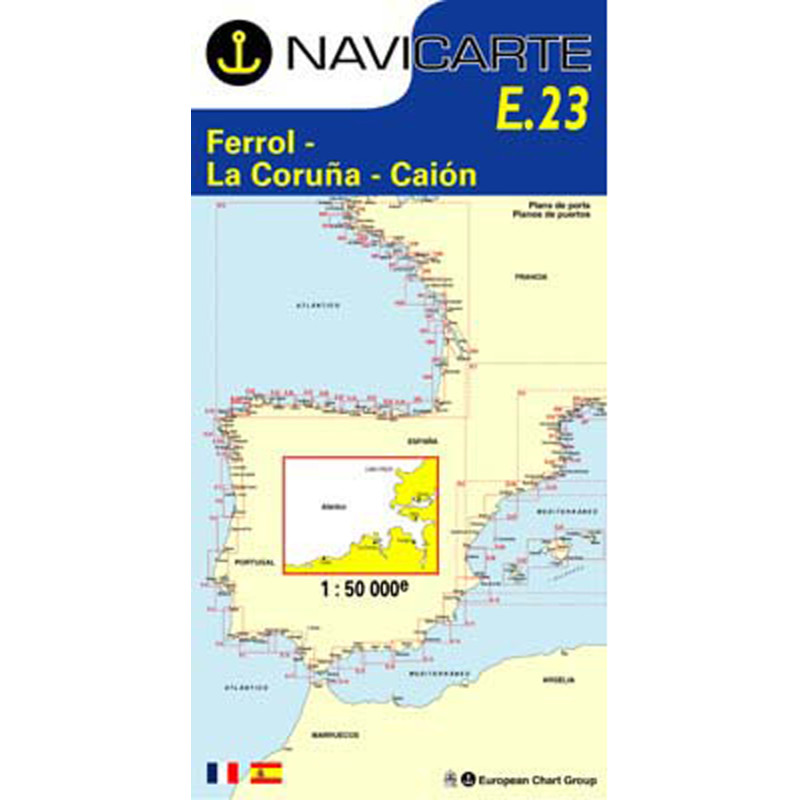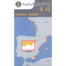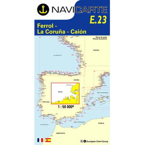






Navicarte nautical chart, coasts of France and Spain.
Data sheet
Specific References
The Navicarte E23 – El Ferrol – La Coruña – Malpica nautical chart covers part of the Atlantic coast of Galicia, Spain. This folded paper chart, published at a scale of 1:50,000, is designed for coastal navigation and recreational boating in the area between El Ferrol, La Coruña and Malpica.
It provides a practical charting resource for sailors planning navigation along this section of the Galician coast, whether for cruising, coastal passages or as one stage of a longer route along the Spanish coastline.
Galicia is characterised by a highly indented coastline and a wide variety of coastal configurations. Navigation in this region requires suitable chart coverage and an appropriate scale.
The Navicarte E23 provides chart coverage of the El Ferrol – La Coruña – Malpica area at a scale of 1:50,000. This scale offers a balance between the amount of detail displayed and the ability to maintain an overall view of the area.
For sailors planning a route along the Galician coast, it provides a consistent cartographic representation for the relevant section of the itinerary.
Navigation planning is not simply a matter of setting a course between two points. The sailor needs to understand the configuration of the coastline, identify changes in direction, locate important charted features and consider the available route options.
The Navicarte E23 can be used at the chart table to plot or study a route through the areas covered by the chart. Distances can be measured, alternative routes compared and individual stages of the passage planned.
This preliminary work is particularly useful before sailing in an unfamiliar part of the Galician coastline, where the navigator may not yet have direct knowledge of the area.
The E23 is a paper nautical chart rather than an electronic chart intended for a chartplotter. It can nevertheless be used effectively alongside GPS and navigation software.
The GPS provides the vessel's position, while the paper chart maintains a broad view of the coastline and the planned route. This combination helps the navigator check the consistency of the passage plan without relying exclusively on a screen.
The paper chart also remains independent of electrical power and can therefore provide an additional reference if electronic navigation equipment becomes unavailable.
At a scale of 1:50,000, one centimetre on the chart represents 500 metres in reality. This scale allows a significant section of coastline to be displayed while retaining a level of detail appropriate for coastal navigation.
Proper chart reading requires an understanding of the information represented on the chart, including soundings, seabed information, aids to navigation, lights, hazards and coastal landmarks.
A nautical chart is therefore much more than a geographical background. It is an essential tool for analysing the maritime environment and preparing a coherent route.
Publisher: Navicarte
Chart number: E23
Area: El Ferrol – La Coruña – Malpica
Country: Spain
Maritime area: Atlantic Ocean
Type: nautical navigation chart
Use: recreational boating
Navigation: coastal navigation
Support: paper
Format: folded chart
Unfolded size: A0, 118.9 × 84.1 cm
Folded size: 166 × 315 mm
Scale: 1:50,000
Languages indicated: French and Spanish
The E23 chart is suitable for coastal navigation and recreational boating in the area it covers. It can be used aboard a sailing yacht or motorboat to plan a cruising stage along the Galician coastline.
It can also form part of a longer itinerary between France, Spain and other areas of the Iberian Peninsula. In that case, it should be combined with charts covering the preceding and following sections of the voyage.
For sailors planning navigation in Galicia, selecting the appropriate scale is important. A general chart may be useful for constructing the overall itinerary, while a chart designed for coastal navigation allows the areas actually being sailed to be studied in greater detail.
One of the main advantages of a paper chart is the ability to maintain perspective. On an electronic navigation display, the zoom level can be changed continuously and the displayed area varies according to the selected view. A paper chart provides a stable representation of the area.
This makes it particularly useful for route planning, comparing different options and analysing the maritime environment before departure.
The Navicarte E23 can therefore be used as a planning tool at the chart table and as a complementary reference during navigation.
The Navicarte E23 can also be used to learn or improve nautical chart-reading skills. Planning a route on paper helps sailors understand the relationship between distance, course, position and coastline configuration.
It can be particularly useful for recreational sailors who want to improve their ability to plan coastal navigation before relying on GPS or a chartplotter.
This approach helps maintain a practical understanding of navigation rather than treating the electronic display as the sole representation of the maritime environment.
The E23 provides chart coverage for the area identified by its title. Complete passage planning also requires consideration of information that cannot be represented by a single chart.
Depending on the voyage, the navigator may need to consult information relating to tides, weather, ports, lights, local regulations and other characteristics of navigation along the Spanish coast.
The nautical chart is therefore a central component of navigation documentation, but it forms part of a broader passage-planning process.
What area does the Navicarte E23 cover?
The chart covers the area identified by its title, between El Ferrol, La Coruña and Malpica on the Atlantic coast of Spain.
What is the scale of the Navicarte E23 nautical chart?
The chart is published at a scale of 1:50,000, suitable for coastal navigation and route planning along the coastline.
Is the Navicarte E23 a paper chart?
Yes. It is a folded paper nautical chart designed for recreational boating and coastal navigation.
What are the dimensions of the Navicarte E23?
When unfolded, the chart measures 118.9 × 84.1 cm, corresponding to A0 size. Its folded size is 166 × 315 mm.
What languages are available on the Navicarte E23?
The product page indicates French and Spanish.
What year is indicated for the Navicarte E23?
The product page indicates 2008. Before navigation, the navigator should check that the edition is suitable for the intended voyage and consult current nautical information.
Can the Navicarte E23 be used with GPS?
Yes. It can be used alongside GPS or a chartplotter to compare the vessel's electronic position with the paper chart representation.
Is the E23 chart suitable for sailing?
Yes. It is classified as a navigation chart intended for recreational boating and coastal navigation.
Does the Navicarte E23 cover the whole of Galicia?
No. It covers the El Ferrol – La Coruña – Malpica area. A longer voyage through Galicia requires additional charts covering other sections of the coastline.
Why use the Navicarte E23 alongside an electronic chart?
The paper chart provides an overall view independent of the electronic display. It allows the route to be planned, navigation decisions to be checked and an additional reference to be maintained if electronic equipment becomes unavailable.
You might also like