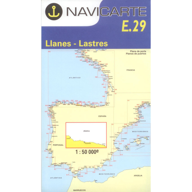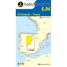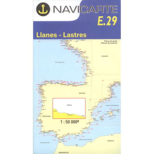






Navicarte nautical chart, coasts of France and Spain.
Data sheet
Specific References
The Navicarte E29 – Llanes, Lastres nautical chart is a folded paper chart covering part of the Atlantic coastline of Asturias, in northern Spain. With a scale of 1:50,000, it is designed for planning and supporting coastal navigation between Llanes and Lastres.
This Navicarte chart is primarily intended for recreational sailors navigating along the northern Spanish coast, whether sailing or under power. It can also be used to plan a longer cruise along the Cantabrian coast, together with Navicarte charts covering neighbouring areas.
The area covered by Navicarte E29 is located in Asturias, on the Atlantic-facing coast of northern Spain, between Llanes and Lastres.
The 1:50,000 scale provides a sufficiently broad view of the area while retaining a level of detail suitable for planning coastal navigation.
The chart can be used to plot a route, measure distances, study the general configuration of the coastline and compare different route options.
For sailors following the Asturian coast, E29 provides appropriate chart coverage for planning a coastal passage between Llanes and Lastres.
A paper chart makes it possible to view a relatively extensive maritime area at the same time. This is particularly useful when planning a route before moving to a more detailed display on a chartplotter.
On a chart table, the navigator can plot the intended route, compare different courses and maintain an overall view of the coastline.
Navicarte E29 can therefore be used before departure to plan the passage and during navigation as a complementary reference alongside electronic equipment.
It also remains available independently of the vessel's electrical power supply.
Reading Navicarte E29 requires an understanding of the different cartographic elements used for coastal navigation.
The navigator should be able to interpret soundings, seabed information, buoyage, lights, hazards, coastal landmarks and information relating to harbour areas.
The 1:50,000 scale makes it possible to work on the route while maintaining an overall representation of the area. It also facilitates comparison between different navigation options before approaching a particular coastal sector.
Navicarte E29 is a folded paper chart and is not designed to be installed directly in a GPS or chartplotter.
It can nevertheless be used alongside electronic navigation. The position supplied by the GPS can be compared with the paper chart to check the consistency of the navigation.
Combining paper and electronic navigation also provides an independent reference in the event of a technical problem.
The paper chart offers a wider view of the area when the electronic display is being used at a high zoom level.
Publisher: Navicarte
Chart number: E29
Area: Llanes – Lastres
Country: Spain
Maritime area: Atlantic Ocean
Type: nautical navigation chart
Use: recreational boating
Navigation: coastal waters
Support: paper
Format: folded chart
Unfolded size: A0, 118.9 × 84.1 cm
Scale: 1:50,000
Languages indicated: French and Spanish
Navicarte E29 is suitable for planning coastal navigation in the Llanes – Lastres area.
It can accompany a sailing or motorboat cruise and serve as a chart for planning a route along the Asturian coast.
It is also suitable for sailors progressively cruising along the northern Spanish coast who want chart coverage corresponding to the different stages of their voyage.
For longer navigation, E29 can be combined with Navicarte charts covering areas to the east and west.
Navicarte E29 can also be used to learn or improve nautical chart-reading skills.
Working with a paper chart helps sailors understand course, distance, position and bearing. It also provides an opportunity to become familiar with soundings, buoyage, lights, hazards and the various cartographic symbols.
For beginners, this approach provides a useful complement to electronic navigation and helps develop a broader understanding of the area being navigated.
Navicarte E29 provides chart coverage of the Llanes – Lastres area. It is one part of navigation planning and should be supplemented by other documents required for the planned route.
Depending on the voyage, the navigator may need information relating to tides, harbours, lights, weather, local regulations and nautical information intended for mariners.
What area does Navicarte E29 cover?
Navicarte E29 covers the Llanes – Lastres area on the Atlantic coast of Asturias, Spain.
What is the scale of Navicarte E29?
The chart is published at a scale of 1:50,000, suitable for coastal navigation planning.
Is Navicarte E29 a paper nautical chart?
Yes. It is a folded paper nautical chart that unfolds to A0 size.
What are the dimensions of Navicarte E29?
The unfolded chart measures 118.9 × 84.1 cm.
What languages are used on Navicarte E29?
The product information indicates French and Spanish.
Is Navicarte E29 suitable for recreational boating?
Yes. It is intended for recreational boating and coastal navigation.
Can Navicarte E29 be used with GPS or a chartplotter?
Yes. The paper chart can be used alongside GPS or a chartplotter.
Does Navicarte E29 cover the entire coast of Asturias?
No. It specifically covers the Llanes – Lastres area. Additional charts may be required for longer coastal passages.
Is Navicarte E29 suitable for a sailing cruise?
Yes. It is suitable for planning coastal sailing and can also be used for motorboat navigation.
Is Navicarte E29 sufficient on its own for navigation planning?
It provides chart coverage for the relevant area, but complete navigation planning may require additional documents covering tides, harbours, lights, weather and applicable regulations.
You might also like