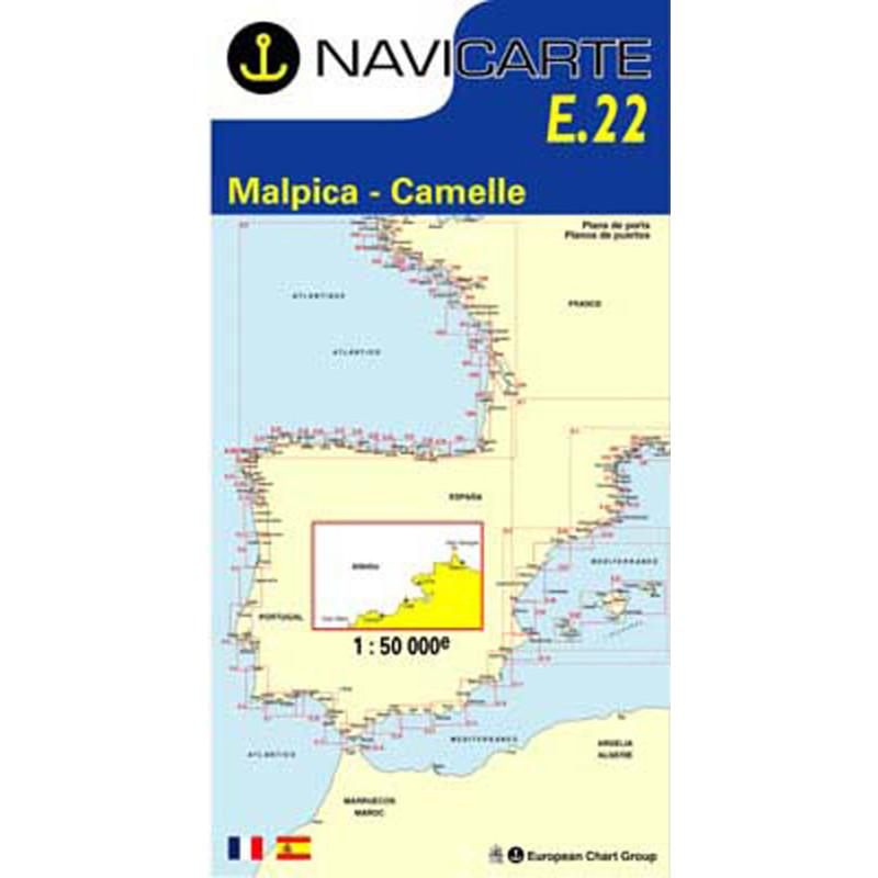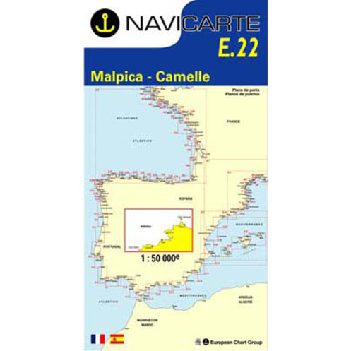






Navicarte nautical chart, coasts of France and Spain.
Data sheet
Specific References
The Navicarte E22 – Malpica – Camarinas nautical chart covers part of the Atlantic coast of Galicia, in north-western Spain. This folded paper coastal navigation chart, published at a scale of 1:50,000, is intended for route planning and recreational navigation between Malpica and Camarinas.
It belongs to the Navicarte series of charts covering the Spanish coastline and provides sailors with a chart specifically designed for coastal navigation in this section of the Atlantic.
The Galician coastline is particularly complex and indented. Navigation in this region requires a chart that allows the sailor to position the vessel accurately relative to the coastline while maintaining a sufficiently broad view of the route.
With its 1:50,000 scale, the Navicarte E22 is suitable for planning coastal navigation between Malpica and Camarinas. It allows the navigator to prepare an itinerary, identify the main cartographic features and maintain an overall view of the area.
The chart can be used for a coastal cruise in Galicia or for a passage between different sections of the Spanish Atlantic coast.
Before leaving port, a paper chart allows the navigator to build the planned route step by step. The overall orientation of the coastline can be studied, distances can be measured, alternative courses can be compared and important cartographic features can be identified before they are encountered during the passage.
The chart also helps the navigator understand changes in the shape and orientation of the coastline. This preliminary work is particularly useful when navigating in an unfamiliar area because it provides a mental picture of the area before the boat reaches it.
For coastal navigation in Galicia, this preparation can be supplemented with the weather information and other nautical documents required for the intended route.
The presence of a GPS chartplotter onboard does not make a paper chart unnecessary. The two forms of navigation support provide complementary functions.
The electronic display allows the navigator to follow the vessel's position accurately and display the programmed route. The paper chart provides a broader view of the area without requiring continuous changes to the screen's zoom level.
The Navicarte E22 can therefore be used to prepare the overall route before transferring it to the electronic navigation system. During navigation, it can be used to check the consistency of the route and provide an independent reference that does not depend on the power supply or operation of the chartplotter.
At a scale of 1:50,000, one centimetre on the chart represents 500 metres in reality. This scale provides enough detail for coastal navigation while retaining an overall view of the area.
Reading this type of chart requires an understanding of the different nautical symbols. Soundings provide information about represented depths, while aids to navigation, lights, hazards and coastal landmarks contribute to identifying the maritime environment.
The value of a paper nautical chart therefore goes beyond plotting a course. It allows the navigator to understand the environment through which the route will be sailed.
Publisher: Navicarte
Area: Malpica – Camarinas
Country: Spain
Maritime area: Atlantic Ocean
Type: nautical navigation chart
Use: recreational boating
Navigation: coastal navigation
Support: paper
Format: folded chart
Unfolded size: A0, 118.9 × 84.1 cm
Folded size: 166 × 315 mm
Scale: 1:50,000
Languages indicated: French and Spanish
The Navicarte E22 is designed for recreational navigation and can be used aboard both sailing yachts and motorboats operating along the Spanish coast.
It is suitable for sailors planning a cruise in Galicia, for coastal passages and for crews progressively exploring the Spanish Atlantic coastline.
It can also be used for training purposes when learning how to plan a coastal route on a paper chart. The 1:50,000 scale provides a practical basis for working on distance measurement, course calculation and interpretation of nautical chart information.
A nautical chart is an essential part of navigation documentation, but it does not necessarily replace every other document required for passage planning.
Depending on the voyage, the navigator may require additional information concerning tides, weather, ports, lights, local regulations or specific characteristics of the coastline.
The Navicarte E22 can therefore form part of a broader navigation package, alongside electronic charting used for positioning and the other publications required for planning the route.
The E22 is supplied as a folded chart. When unfolded, it provides an A0 surface measuring 118.9 × 84.1 cm, allowing the navigator to work comfortably at a chart table.
Its folded size of 166 × 315 mm makes storage onboard straightforward when the chart is not being used. It can therefore remain with the navigation documents throughout the preparation of a voyage without permanently occupying the chart table.
For coastal navigation in Spain, this format provides a practical balance between chart readability and onboard storage.
What area does the Navicarte E22 cover?
The Navicarte E22 covers the area between Malpica and Camarinas on the Spanish Atlantic coast.
What is the scale of the Navicarte E22?
The chart is published at a scale of 1:50,000, suitable for coastal route planning and navigation.
Is the Navicarte E22 intended for recreational boating?
Yes. The product page classifies it as a navigation chart intended for recreational boating and coastal navigation.
Is the E22 chart available in French?
Yes. The product page indicates French and Spanish as the available languages.
What is the format of the Navicarte E22?
It is a folded paper chart that unfolds to A0 size, measuring 118.9 × 84.1 cm. Its folded size is 166 × 315 mm.
Can the Navicarte E22 be used with a GPS chartplotter?
Yes. It can be used alongside GPS or a chartplotter to plan the route, check the vessel's position and maintain an overall view of the area.
Is the Navicarte E22 suitable for a cruise in Galicia?
Yes, for the area it covers. A longer cruise requires additional charts corresponding to the other sections of the route.
Why use a paper chart when the boat has GPS?
A paper chart provides an immediate overall view and an independent navigation reference. It can also be used to plan the route before entering it into the chartplotter.
Does the Navicarte E22 replace other nautical documents?
No. Depending on the voyage, additional information may be required for proper passage planning, including tides, weather, ports, aids to navigation and applicable regulations.
You might also like