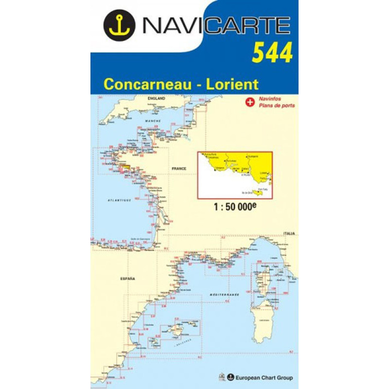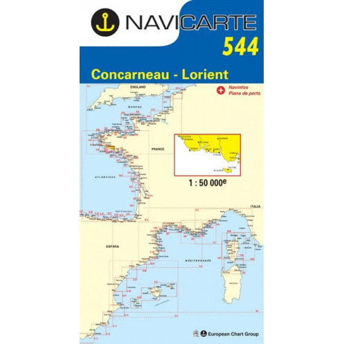





Navicarte nautical chart, coasts of France and Spain.
Data sheet
Specific References
The Navicarte 544 nautical chart covers a section of the southern Brittany coastline around Concarneau, Lorient and Groix Island. This folded paper chart is designed for coastal navigation and recreational boating. At a scale of 1:50,000, it provides a practical overview for planning routes along this part of the French Atlantic coast and organising cruises between different coastal areas.
For sailors looking for a nautical chart covering Concarneau and Lorient, or a chart suitable for planning navigation around Groix Island, Navicarte 544 provides a broad enough geographical view for route planning while retaining a useful level of detail for coastal navigation.
The coastline between Concarneau and Lorient is an important recreational boating area in southern Brittany. Navicarte 544 brings these two areas together with Groix Island on the same chart.
This coverage is particularly useful when planning a coastal passage involving several stages. The navigator can first study the overall route and then use more detailed documentation for specific areas where greater precision is required.
The chart can therefore be used for day sailing, longer coastal passages or a multi-stage cruise in southern Brittany. It also provides an overall view of the coastline when several route options are being considered.
Navicarte 544 is published at a scale of 1:50,000. One centimetre on the chart therefore represents 500 metres on the ground.
This scale offers a useful balance between geographical coverage and detail. It makes it possible to study a substantial section of coastline without excessively reducing the readability of nautical information.
When planning a passage, the scale can be used to:
visualise the general shape of the coastline;
plan a route between different areas;
estimate distances;
identify areas requiring more detailed study;
organise the stages of a cruise;
maintain an overall view of Concarneau, Lorient and Groix Island.
A 1:50,000 chart should not, however, be regarded as equivalent to a very large-scale harbour approach chart. The appropriate documentation always depends on the type of navigation and the required level of precision.
Navicarte 544 is suitable for recreational navigation aboard both sailing yachts and motorboats.
For sailing, it can be used to plan a coastal route, study the different sections of coastline and organise the stages of a cruise. It is also useful when planning navigation around Groix Island.
Aboard a motorboat, the chart can be used for coastal trips, routes between different areas or as a paper complement to an electronic chartplotter.
In both cases, the chart is primarily a planning and decision-support tool. It allows the navigator to work on the itinerary before departure and retain an overall view during the passage.
A nautical chart is a technical document. Depths, soundings, hazards, buoyage, lights, coastal landmarks and port information must be interpreted in relation to the intended route.
Navicarte’s graphic presentation is designed to make this information accessible to recreational sailors. Colours, symbols and charted information help distinguish the different features required for route planning.
For sailors learning how to use a paper nautical chart, Navicarte 544 can also be used as a practical training resource. The 1:50,000 scale makes it possible to work with a recognisable coastal area and understand how a route is constructed from charted information.
Navicarte 544 can be used alongside a GPS or electronic chartplotter.
Electronic charting provides dynamic positioning and route monitoring. A paper chart provides a different perspective: it allows the navigator to see a broader area at once and maintain an overall understanding of the route.
This combination is particularly useful when planning a cruise. The navigator can first establish the general itinerary on the paper chart and then use the electronic navigation system to monitor the passage.
A paper chart also remains independent of electrical power, giving it an additional role as a backup resource if electronic equipment fails.
The coverage of Navicarte 544 makes it possible to plan navigation across a substantial section of southern Brittany.
A navigator can use it to determine the different stages of an itinerary, compare possible routes and identify areas requiring more detailed study.
For a cruise around Concarneau, Lorient and Groix Island, the chart provides a coherent view of the overall navigation area. It can be used before departure to estimate distances and organise the nautical documentation required for each stage.
This approach is particularly useful when the navigation is not limited to a single outing but forms part of a multi-day cruise.
Navicarte 544 is a folded paper chart. Its folded format makes it convenient to store aboard while providing a substantial representation of the navigation area when opened.
Navicarte folded charts use a support designed for normal marine use. They can be consulted at the chart table and used when planning or annotating a route.
The paper chart therefore remains a practical tool for sailors who want a physical representation of their navigation area independently of an electronic display.
Publisher: Navicarte
Chart number: 544
Coverage: Concarneau, Lorient, Groix Island
Maritime area: Atlantic Ocean
Country: France
Type: navigation chart
Navigation: coastal
Scale: 1:50,000
Support: paper
Format: folded chart
Unfolded size: A0, 118.9 × 84.1 cm
Language indicated: French
What area does Navicarte 544 cover?
Navicarte 544 covers the Concarneau, Lorient and Groix Island area on the French Atlantic coast. It is intended for coastal navigation in southern Brittany.
What is the scale of Navicarte 544?
It is published at a scale of 1:50,000. One centimetre on the chart represents 500 metres on the ground.
Is Navicarte 544 suitable for sailing?
Yes. Its scale and geographical coverage are suitable for planning coastal sailing routes and cruises around Concarneau, Lorient and Groix Island.
Can Navicarte 544 be used on a motorboat?
Yes. It can also be used to plan coastal trips and routes aboard a motorboat.
Is Navicarte 544 suitable for cruising in southern Brittany?
Yes. Its coverage is suitable for planning a multi-stage cruise between Concarneau, Lorient and Groix Island. More detailed documentation may be required for certain approaches.
Can chart 544 be used with GPS?
Yes. It complements GPS and chartplotter navigation. GPS provides dynamic positioning, while the paper chart provides an overall view of the navigation area.
What is the format of Navicarte 544?
It is a folded paper nautical chart. Its unfolded size is specified as A0, approximately 118.9 × 84.1 cm.
Is Navicarte 544 a paper nautical chart?
Yes. It is a paper navigation chart intended for consultation and use aboard.
Is chart 544 sufficient for a highly detailed harbour approach?
The 1:50,000 scale is suitable for coastal navigation and route planning, but some approaches or manoeuvres may require a larger-scale chart or additional nautical documentation.
Why keep a paper chart when using an electronic chartplotter?
A paper chart provides an overall view of the navigation area and remains usable independently of electrical power. It is therefore a useful complement to electronic navigation.
You might also like