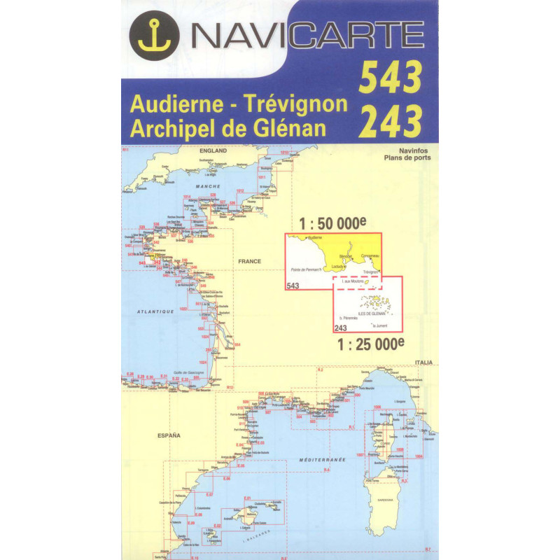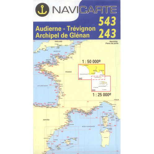





Navicarte nautical chart, coasts of France and Spain.
Data sheet
Specific References
The Navicarte 543 + 243 nautical chart covers the area around Audierne, Trévigon and the Glénan Islands, on the south-western coast of Finistère. At a scale of 1:25,000, this paper nautical chart provides detailed cartographic coverage suitable for coastal navigation in this part of Brittany.
Its scale allows the navigator to study the coastline in detail, plan routes and work with the different charted features required for coastal navigation.
The Navicarte 543 + 243 is intended for sailors looking for a detailed nautical chart covering Audierne, Trévigon and the Glénan Islands.
It can be used to plan a coastal passage, a day trip or a stage of a longer cruise. Its geographical coverage provides a coherent area for route planning in southern Finistère.
The chart is suitable for both sailing and motorboat navigation.
At a scale of 1:25,000, one centimetre on the chart represents 250 metres on the ground. This provides a higher level of detail than a more general coastal chart.
The scale makes it possible to study depths, depth contours, buoyage, hazards and the main coastal features required for route planning.
For sailors preparing navigation around the Glénan Islands or in the Audierne area, this level of detail allows the route to be examined more closely.
The Glénan Islands are an area where chart reading and route planning are particularly important. The Navicarte 543 + 243 provides sufficiently detailed chart coverage to plan coastal navigation in this area.
It can be used before departure to establish the route, measure distances and compare navigation options.
As with any nautical chart, it should be used together with the nautical information required for the planned navigation and with due consideration of tidal conditions and the characteristics of the route.
The Navicarte 543 + 243 can complement GPS, chartplotters and navigation software. The paper chart provides an overall view independent of the electronic display and is particularly useful at the chart table.
It also provides an independent paper reference that remains available if electronic navigation equipment is affected by a technical problem.
Publisher: Navicarte
Chart numbers: 543 + 243
Coverage: Audierne, Trévigon, Glénan Islands
Navigation area: Atlantic Ocean
Type: nautical navigation chart
Support: paper
Format: folded chart
Unfolded size: A0, 118.9 × 84.1 cm
Scale: 1:25,000
Classification: coastal area
Language: French
What area does the Navicarte 543 + 243 cover?
It covers Audierne, Trévigon and the Glénan Islands on the Atlantic coast of southern Finistère.
What is the scale of this nautical chart?
It is published at 1:25,000, meaning one centimetre on the chart represents 250 metres on the ground.
Why use a 1:25,000 nautical chart?
This scale provides detailed representation suitable for planning coastal navigation and studying a specific section of coastline.
Is the 543 + 243 chart suitable for sailing?
Yes. It is suitable for planning sailing routes in the covered area.
Is it suitable for motorboats?
Yes. It can also be used for planning coastal motorboat navigation.
Does the chart cover the Glénan Islands?
Yes. The Glénan Islands are included in the chart coverage.
Is the Navicarte 543 + 243 suitable for Audierne?
Yes. Audierne is part of the area covered by this chart.
Can the chart be used with GPS?
Yes. It provides a useful paper complement to electronic chartplotter navigation.
What is the format of the chart?
It is supplied folded and unfolds to approximately A0 size, 118.9 × 84.1 cm.
Can the Navicarte 543 + 243 be used for cruising in southern Brittany?
Yes. It can be combined with neighbouring charts in the series to provide wider coverage for a longer coastal cruise.
You might also like