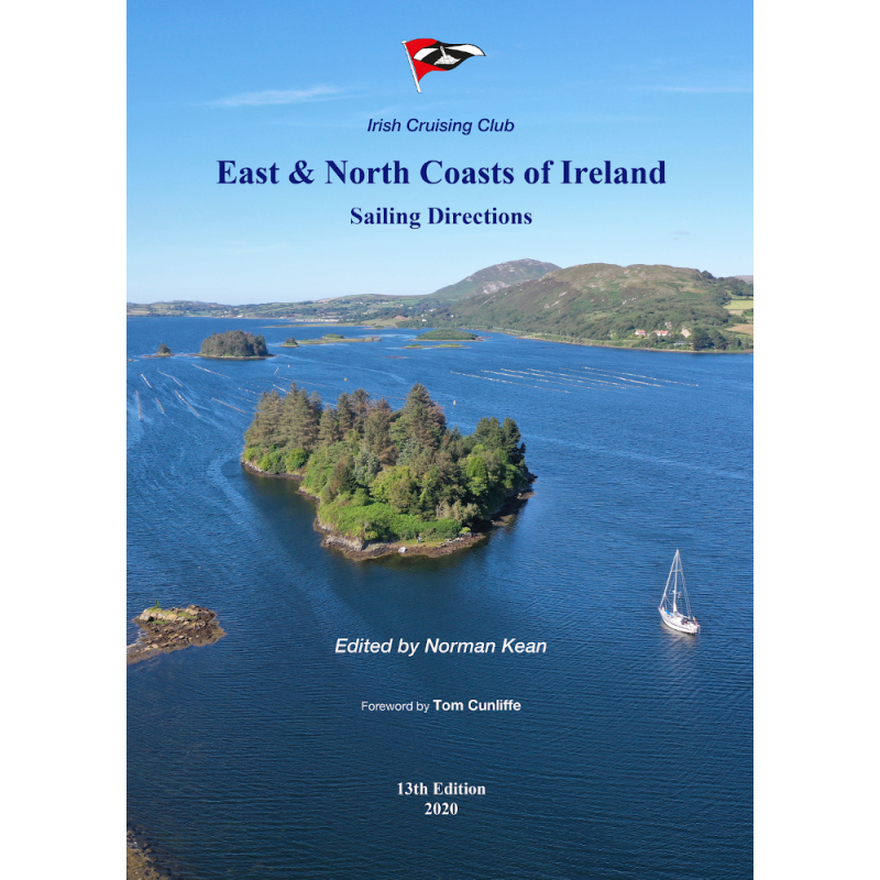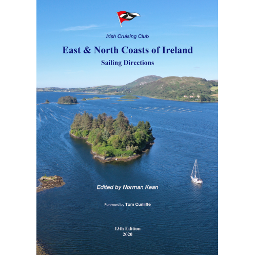



This expert sailing guide covers Ireland’s east and north coasts, featuring 99 charts, 393 photos, and updated marina details for safe and seamless navigation from Kilmore Quay to Bloody Foreland.
Data sheet
Specific References
Navigate the stunning yet challenging waters of Ireland’s east and north coasts with confidence. This comprehensive sailing guide is meticulously crafted for recreational sailors, offering unparalleled detail and up-to-date information for every stretch of coastline from Kilmore Quay to Bloody Foreland. Whether you're planning a leisurely cruise or a longer voyage, this guide ensures you have the knowledge to sail safely and efficiently.
This guide is your go-to resource for exploring 161 ports, harbors, and anchorages along Ireland’s eastern and northern shores. Each location is described in depth, providing critical details on navigation aids, local facilities, and shore-based amenities. From sheltered coves to bustling marinas, you’ll find everything you need to plan your stops, avoid hazards, and make the most of your time ashore.
Now in its 14th edition, this guide has undergone a complete coastal revision to include the latest updates and insights. Edited by renowned sailing expert Norman Kean, with a foreword by Tom Cunliffe, it reflects the most current conditions and best practices for small boat navigation. Whether you're a seasoned sailor or new to these waters, you’ll benefit from the precision and clarity of this trusted reference.
Navigate with ease thanks to 99 aerial photographs, 294 sea-level images, and 99 detailed charts. These visual aids provide a clear understanding of coastal features, entry points, and potential challenges, allowing you to approach each destination with confidence. The guide’s A4 format ensures readability, while its softcover design makes it practical for use on board.
Beyond coastal navigation, this guide offers valuable advice for crossings to Britain and the Isle of Man, helping you plan longer voyages with ease. It’s packed with local insights, from tidal patterns to weather considerations, ensuring you’re prepared for the unique conditions of these waters. Whether you're seeking a quiet anchorage or a well-equipped marina, this guide has you covered.
Trusted by sailors for decades, this guide sets the benchmark for small boat piloting along Ireland’s east and north coasts. Its combination of expert knowledge, practical advice, and user-friendly format makes it an indispensable tool for anyone navigating these waters. With 224 pages of essential information, it’s designed to be your constant companion on deck, ready to assist whenever you need it.
Unmatched Detail for Safe and Enjoyable Sailing
Explore the rugged beauty of Ireland’s east and north coasts with this definitive sailing guide, designed to provide recreational sailors with the most accurate and up-to-date information available. Covering over 1,000 kilometers of coastline—from Kilmore Quay in the south to Bloody Foreland in the north—this guide is an indispensable resource for navigating these often challenging waters. With 161 ports, harbors, and anchorages described in meticulous detail, it ensures you can plan every aspect of your journey with confidence, from safe entry points to local amenities ashore.
Expertly Updated for Modern Sailors
The 14th edition of this guide represents a complete revision of the coastline, incorporating the latest navigational data and local insights. Edited by Norman Kean, a respected authority in sailing literature, and featuring a foreword by Tom Cunliffe, this edition builds on decades of expertise to deliver a resource that is both practical and reliable. Whether you're a seasoned sailor or new to these waters, you’ll find the information presented in a clear, easy-to-use format, with updated details on marinas, navigation aids, and shore facilities.
Visual Navigation Aids for Precision and Confidence
This guide stands out for its extensive use of visual tools to enhance your navigation experience. With 99 aerial photographs, 294 sea-level images, and 99 detailed charts, it provides a comprehensive visual reference for every stretch of coastline. These images help you identify key landmarks, entry points, and potential hazards, allowing you to approach each destination with precision. The A4 format ensures that all visuals are easy to read, while the softcover design makes the guide durable and practical for use on board.
Practical Advice for Every Voyage
Beyond its detailed coastal descriptions, this guide offers practical advice for crossings to Britain and the Isle of Man, making it an invaluable resource for sailors planning longer voyages. It includes essential information on tidal patterns, weather considerations, and local knowledge that can make the difference between a smooth journey and a challenging one. Whether you're looking for a quiet anchorage or a marina with full services, this guide provides the insights you need to make informed decisions every step of the way.
A Trusted Companion for Decades
For over 20 years, this guide has been the go-to reference for small boat sailors navigating Ireland’s east and north coasts. Its reputation for accuracy, clarity, and practicality has made it a staple on board countless vessels. With 224 pages of essential information, it’s designed to be your constant companion, ready to assist with everything from route planning to on-the-spot decision-making. Weighing just 1560 grams, it’s lightweight enough to keep on deck, ensuring you always have the information you need at your fingertips.
This comprehensive sailing guide offers everything you need for safe and informed navigation along Ireland’s east and north coasts. The 14th edition features 224 pages of expertly curated content, including 99 aerial photographs, 294 sea-level images, and 99 detailed charts. It covers 161 ports, harbors, and anchorages, providing up-to-date information on navigation aids, local facilities, and shore-based amenities. The guide is presented in an A4 softcover format, measuring 297 x 210 mm, and weighs 1560 grams, making it practical for use on board.
With a long-standing reputation for producing high-quality nautical guides, this publisher is dedicated to providing sailors with accurate, up-to-date, and practical information. Their publications are trusted by recreational and professional sailors alike, offering expert insights and detailed visual aids to enhance navigation and safety on the water.
This guide covers the east and north coasts of Ireland, from Kilmore Quay and Carnsore Point in the south to Bloody Foreland in the north, including Malin Head.
The guide describes 161 ports, harbors, and anchorages, including navigation aids, shore facilities, and amenities.
Yes, this 14th edition includes updated information on marinas in a more user-friendly format, following a complete coastal revision.
The guide features 99 aerial photographs, 294 sea-level photos, and 99 detailed plans for navigation assistance.
Yes, it includes specific advice and recommendations for crossings to Britain and the Isle of Man.
The guide is in A4 format (297 x 210 mm), weighs 1560 g, and has a softcover binding.
This edition was published in 2020 and reflects a complete revision of the coastline and relevant information.
You might also like