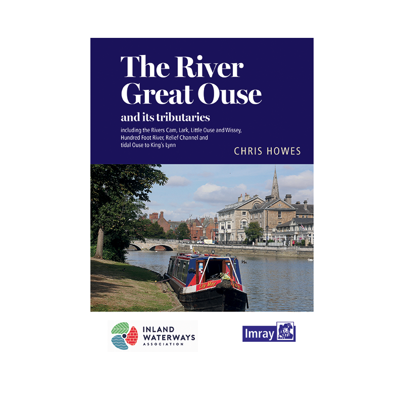


Imray - The River Great Ouse and Tributaries
search
  • googlemap
  • Imray - The River Great Ouse and Tributaries

Imray - The River Great Ouse and Tributaries

€19.35
Tax included
Imray
In English language
Estimated preparation time: 5 to 14 days

Master the River Great Ouse and its tributaries with this expert guide. Includes navigation notes, maps, and key details on moorings, facilities, and points of interest for over 60 miles of waterways.

INL0349

Data sheet

What is the classification?
navigation book
Who is the publisher or the author?
Chris Howes
On what digital medium is this nautical chart / book stored?
paper medium
From which year does this nautical chart date?
2021
What type of navigation book is this?
pilot
Picto
In English language

Specific References

UPC
400000055428
EAN13
9781786792464
New
Description détaillée

The River Great Ouse and Tributaries

Guidebook in English
Paperback edition

Your Essential Companion for Navigating the Great Ouse and Its Waterways

Explore one of England’s most iconic river systems with confidence using this comprehensive guidebook, meticulously crafted for boaters seeking adventure on the River Great Ouse and its tributaries. Whether you're a seasoned sailor or a weekend cruiser, this guide provides everything you need to navigate over 60 additional miles of waterways, from the tidal stretches near Kings Lynn to the historic Cambridge Backs, a UNESCO World Heritage site. With restructured content starting at Kempston, upstream of Bedford, this edition ensures you have the most up-to-date and detailed information at your fingertips.

Detailed Navigation Notes for Safe and Enjoyable Cruising

This guidebook is packed with precise navigation notes designed to help you steer clear of hazards and make the most of your journey. Each section of the river is broken down with clear instructions, ensuring you can navigate with ease, whether you're tackling the tidal waters or exploring the calmer tributaries. The notes are complemented by high-quality maps that highlight key landmarks, depths, and potential obstacles, giving you a complete picture of the waterway ahead.

Comprehensive Information on Moorings, Facilities, and Services

Planning your stops has never been easier. This guide includes an extensive directory of moorings, marinas, and essential services along the River Great Ouse and its tributaries. From fuel stations and water points to repair shops and waste disposal facilities, you’ll find all the practical details you need to keep your voyage smooth and hassle-free. Each entry is accompanied by useful tips, such as the best spots for overnight stays or where to find local provisions, ensuring you’re always prepared.

Enrich Your Journey with Points of Interest and Local Insights

Beyond the technical details, this guidebook brings the river to life with vivid descriptions of points of interest along the way. Discover the history, culture, and natural beauty of the regions you pass through, from the charming towns of Bedford and Ely to the serene landscapes of the Fens. Stunning photographs and engaging narratives provide context and inspiration, turning your boating trip into a richer, more immersive experience. Whether you're interested in local wildlife, historic landmarks, or hidden gems, this guide ensures you won’t miss a thing.

Designed for Boaters, by Boaters

This guidebook is tailored specifically for recreational boaters, offering a perfect blend of practicality and ease of use. The spiral-bound format allows for effortless handling on deck, while the durable construction ensures it withstands the rigors of life on the water. With 264 pages of expertly curated content, it’s the ultimate resource for anyone looking to explore the River Great Ouse and its tributaries with confidence and peace of mind.

Unlock the Full Potential of the River Great Ouse with This Expert Guidebook
Navigating the River Great Ouse and its tributaries just got easier with this all-in-one guidebook, designed to be your trusted companion on the water. Whether you're planning a leisurely cruise or an extended voyage, this sixth edition (2021) offers unparalleled insights into over 60 miles of navigable waterways, including the tidal sections near Kings Lynn and the scenic Cambridge Backs. Restructured to begin at Kempston, upstream of Bedford, this guide ensures you have the most relevant and up-to-date information for a seamless journey.

Precision Navigation for Every Boater
This guidebook doesn’t just point you in the right direction—it provides the detailed navigation notes you need to navigate safely and efficiently. Each section of the river is meticulously mapped, with clear instructions on depths, hazards, and key landmarks. Whether you're tackling the tidal waters or exploring the quieter tributaries, you’ll have the confidence to navigate with precision, avoiding common pitfalls and making the most of your time on the water.

Everything You Need for a Smooth Voyage
From moorings and marinas to fuel stations and repair services, this guidebook covers all the essentials for a hassle-free trip. Each entry includes practical details like contact information, availability, and local amenities, so you can plan your stops with ease. Whether you're looking for a quiet spot to anchor overnight or a place to restock supplies, you’ll find all the information you need in one convenient resource.

Discover the Hidden Gems Along the Way
Beyond the technical details, this guidebook brings the River Great Ouse to life with rich descriptions of points of interest, historical landmarks, and natural wonders. Stunning photographs and engaging narratives provide context and inspiration, turning your boating trip into an unforgettable adventure. Whether you're interested in local wildlife, historic sites, or charming riverside towns, this guide ensures you won’t miss a thing.

Built for Life on the Water
Designed with boaters in mind, this guidebook features a durable spiral-bound format that’s easy to handle on deck. With 264 pages of expertly curated content, it’s the perfect size to stow away in your boat’s cabin while still offering comprehensive coverage of the river and its tributaries. Weighing just 1.2 kg, it’s lightweight enough to carry with you wherever your journey takes you.

This sixth edition (2021) guidebook is your go-to resource for navigating the River Great Ouse and its tributaries, offering 264 pages of detailed navigation notes, maps, and practical information. Measuring 235 x 160 x 15 mm and weighing 1.2 kg, it’s compact enough to store on board while providing comprehensive coverage of over 60 miles of waterways. The spiral-bound design ensures durability and ease of use, making it ideal for boaters of all experience levels.

With a legacy of providing high-quality nautical guides, this publisher is renowned for its expertise in creating detailed and reliable resources for boaters. Their guides are trusted by sailors, cruisers, and adventurers worldwide, offering accurate navigation information, practical tips, and stunning visuals to enhance every journey on the water.

  • This guidebook offers unmatched convenience and reliability for boaters exploring the River Great Ouse and its tributaries. With detailed navigation notes, comprehensive maps, and up-to-date information on moorings and services, it ensures a safe and enjoyable voyage. The spiral-bound format is durable and easy to use on deck, while the inclusion of points of interest and local insights enriches your journey with history, culture, and natural beauty. Whether you're a seasoned sailor or a weekend cruiser, this guide is an indispensable tool for making the most of your time on the water.
What areas are covered beyond the main river route?

The guide includes navigable tributaries, extending coverage by 60 miles. This includes the tidal section down to King’s Lynn and the Cambridge Backs, a UNESCO World Heritage site.

Does the guide include tidal navigation details?

Yes, it provides detailed notes on the tidal section of the river, including key navigation points and considerations for boaters.

Are there maps included in this guide?

Yes, the guide features detailed maps alongside navigation notes, mooring information, and service locations for the entire route.

What type of binding is used for this guide?

The guide uses a spiral binding, making it easy to lay flat for convenient reference while on the water.

How many pages does this edition have?

This sixth edition contains 264 pages, covering navigation, facilities, and points of interest along the river and its tributaries.

Is this guide suitable for first-time visitors to the area?

Yes, it includes comprehensive navigation notes, mooring details, and descriptions of local attractions, making it ideal for both new and experienced boaters.

Loading...