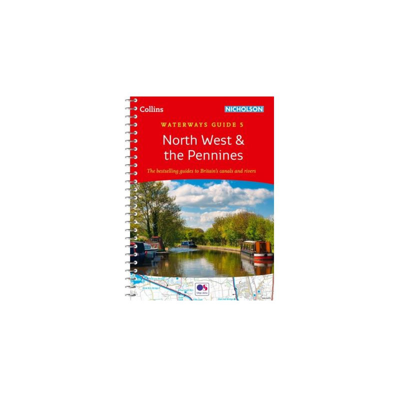




Explore the waterways of Northwest England and the Pennines with this trusted spiral-bound guide. Features detailed maps, navigation notes, and points of interest for boaters, hikers, and cyclists.
Data sheet
Specific References
Explore the heart of England’s canal network with the most trusted waterways guide for the North West and Pennines region. Designed for boaters, hikers, cyclists, and adventurers, this comprehensive guide delivers everything you need to navigate with confidence. Whether you're a seasoned sailor or a first-time explorer, this spiral-bound guide ensures easy access to critical navigation details, local insights, and practical information for a seamless journey.
Featuring large-scale Ordnance Survey maps, this guide provides unparalleled clarity for navigating the region’s intricate waterways. Each map highlights locks, towpaths, boat facilities, pubs, shops, and restaurants, allowing you to plan your route with precision. The guide includes step-by-step navigation notes, ensuring you can safely traverse even the most complex stretches of water. With postcodes for GPS integration, you’ll never lose your way, whether you're cruising through historic canals or discovering hidden gems along the towpath.
This guide covers the essential canals and waterways of North West England, including the Aire & Calder Navigation, Bridgewater Canal, Calder & Hebble Navigation, Huddersfield Narrow and Broad Canals, Lancaster Canal, Leeds & Liverpool Canal, Macclesfield Canal, Manchester Bolton & Bury Canal, Peak Forest and Ashton Canals, Rochdale Canal, Sankey Canal, and Trent & Mersey Canal. Each waterway is accompanied by historical context, local services, and points of interest, making it easy to immerse yourself in the region’s rich maritime heritage while enjoying modern conveniences.
The spiral-bound, lie-flat design ensures hassle-free use on deck or in the field, while the built-in bookmark flap keeps your place for quick reference. Compact and durable, this A5-sized guide is built to withstand the rigors of outdoor adventures, fitting easily into a backpack or boat storage compartment. Its lightweight yet sturdy construction makes it ideal for extended trips, day excursions, or spontaneous explorations.
With a legacy spanning four decades, this guide is the gold standard for waterway navigation in the UK. Updated regularly to reflect the latest changes in routes, facilities, and local attractions, it remains the go-to resource for anyone looking to experience the beauty and charm of Britain’s canals. Whether you're planning a leisurely cruise, a cycling adventure, or a hiking expedition, this guide equips you with the knowledge and tools to make the most of your journey.
Unlock the Best of North West England’s Waterways
Discover the ultimate guide to navigating the canals and rivers of North West England and the Pennines with this meticulously crafted waterways guide. Designed for boaters, hikers, and outdoor enthusiasts, this 224-page guide is packed with detailed Ordnance Survey maps, navigation notes, and local insights to ensure a smooth and enjoyable journey. Whether you're cruising through historic canals or exploring scenic towpaths, this guide provides everything you need to navigate with confidence and ease.
Precision Mapping for Effortless Navigation
Navigate with precision using large-scale maps that highlight locks, towpaths, boat facilities, and key landmarks. Each map is accompanied by comprehensive navigation notes, ensuring you can safely traverse even the most complex waterways. With postcodes for GPS integration, you’ll always know your exact location, making it easy to plan stops at local pubs, shops, and restaurants along the way.
Comprehensive Coverage of Iconic Waterways
This guide covers over a dozen major canals and waterways, including the Leeds & Liverpool Canal, Trent & Mersey Canal, and the Huddersfield Narrow Canal. Each section includes historical context, local services, and points of interest, allowing you to delve into the region’s rich maritime heritage while enjoying modern amenities. Whether you're a seasoned boater or a first-time explorer, this guide ensures you won’t miss a thing.
Built for Durability and Convenience
Featuring a spiral-bound, lie-flat design, this guide is built for practicality. The A5 format fits easily into a backpack or boat storage compartment, while the sturdy construction ensures it withstands the demands of outdoor use. The built-in bookmark flap keeps your place for quick reference, making it the perfect companion for both short trips and extended adventures.
Trusted by Adventurers for Decades
With over 40 years of expertise, this guide is the most trusted resource for waterway navigation in the UK. Regularly updated to reflect the latest changes in routes and facilities, it remains the go-to choice for boaters, cyclists, and hikers alike. Whether you're planning a leisurely cruise or an active outdoor adventure, this guide provides the tools and knowledge to make your journey unforgettable.
This waterways guide is designed for practicality and durability, featuring a spiral-bound, lie-flat format that makes it easy to use on the go. Measuring 8.2 inches in length, 5.8 inches in width, and 0.6 inches in height, it fits comfortably in a backpack or boat storage compartment. With 224 pages of detailed maps, navigation notes, and local insights, this guide weighs just 2 kg, making it lightweight yet comprehensive. The A5-sized paperback edition is printed in English and includes the latest updates for accurate and reliable navigation.
With a legacy of over four decades, this series of waterways guides has become the benchmark for navigation resources in the UK. Known for their accuracy, durability, and user-friendly design, these guides are trusted by boaters, hikers, and outdoor enthusiasts alike. Each edition is meticulously updated to ensure the most current information, making them an indispensable tool for exploring Britain’s iconic canals and waterways.
It covers the canals and waterways of Northwest England around Merseyside and Manchester, including Aire & Calder Navigation, Bridgewater Canal, Calder & Hebble Navigation, Huddersfield Narrow and Broad Canals, Lancaster Canal, Leeds & Liverpool Canal, Macclesfield Canal, Manchester Bolton & Bury Canal, Peak Forest and Ashton Canals, Rochdale Canal, Sankey Canal, and Trent & Mersey Canal.
Yes, the guide includes detailed Ordnance Survey maps showing locks, towpaths, boat facilities, pubs, shops, and restaurants.
The spiral binding allows the guide to lie flat when opened, making it easier to read and reference while navigating or planning routes.
Yes, it provides postcodes for local services and points of interest, making it compatible with GPS devices.
The guide contains 224 pages of detailed maps, navigation notes, and descriptive text.
Yes, it is designed for both experienced boaters and beginners, as well as walkers, cyclists, canoeists, and visitors.
The guide measures 8.2 inches in length, 5.8 inches in width, and 0.6 inches in height, with an A5 paper format.