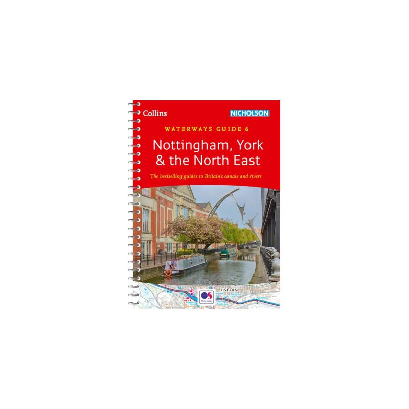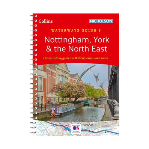




Your go-to guide for Northern England’s waterways, from York to Nottingham. Includes detailed maps, navigation tips, and local attractions—perfect for boaters, hikers, and cyclists alike.
Data sheet
Specific References
Navigate the heart of England’s waterways with confidence using this trusted guide, designed for boaters, walkers, cyclists, and visitors alike. Covering the canals and rivers between York and the River Trent south of Nottingham, this guide delivers unmatched detail and practical insights for exploring the region’s historic and scenic routes. Whether you're a seasoned sailor or a first-time adventurer, this guide ensures a seamless journey through some of the UK’s most beloved waterways.
This guide includes detailed maps and navigation notes for a wide network of waterways, including the Aire & Calder Navigation, Chesterfield Canal, River Derwent, Pocklington Canal, Fossdyke & Witham Navigations, Grantham Canal, River Ouse, River Ure, Ripon Canal, Selby Canal, South Yorkshire Navigations, and the River Trent. Each section is meticulously charted to help you plan your route, avoid obstacles, and discover hidden gems along the way.
Featuring large-scale Ordnance Survey maps, this guide provides clear, easy-to-read charts that highlight locks, towpaths, boat facilities, pubs, shops, and restaurants. The maps are scaled at 2 inches to 1 mile (3 cm to 1 km), offering the perfect balance of detail and usability. Whether you're plotting a short trip or a longer voyage, these maps ensure you stay on course and make the most of every stop.
Beyond navigation, this guide is packed with essential details to enhance your journey. Learn about the history of each canal, discover local services, and find points of interest complete with postcodes—ideal for GPS users. The lie-flat spiral binding and built-in bookmark make it easy to reference while on the move, ensuring you have all the information you need without the hassle.
Designed for life on the water, this guide features a rugged spiral binding that lays flat for hands-free reading, even in windy conditions. The compact A5 size fits easily in a backpack or boat storage, while the lightweight design (just 351 g) won’t weigh you down. With over 40 years of trusted use by boaters, this guide is a proven tool for safe and enjoyable waterway exploration.
Whether you're cruising the canals, cycling along towpaths, or simply exploring the countryside, this guide is your go-to resource. It’s perfect for experienced boaters looking for reliable navigation aids, beginners seeking guidance, and visitors eager to experience the charm of Britain’s waterways. With its blend of practicality and rich detail, this guide is an indispensable part of any waterway adventure.
Unlock the Best of Northern England’s Waterways
Discover the ultimate guide to navigating the canals and rivers between York and the River Trent with the Collins Waterways Guide No. 6. This trusted resource is packed with everything you need for a smooth and enjoyable journey, from detailed maps to practical navigation tips. Whether you're planning a weekend getaway or an extended voyage, this guide ensures you won’t miss a thing.
Precision Mapping for Seamless Travel
Featuring large-scale Ordnance Survey maps at 2 inches to 1 mile (3 cm to 1 km), this guide provides crystal-clear details of locks, towpaths, boat facilities, and local amenities. Each map is designed for easy reading, helping you stay on course and make the most of every stop along the way. The lie-flat spiral binding ensures hassle-free use, even in challenging conditions.
Rich Historical and Practical Insights
Dive into the history of each waterway with descriptive text that brings the past to life. Find essential services, points of interest, and postcodes for GPS navigation, making it easy to explore local attractions, pubs, and shops. This guide is more than just a navigation tool—it’s your companion for discovering the culture and charm of Northern England’s waterways.
Designed for Boaters, by Boaters
With over 40 years of expertise, this guide is a favorite among boaters for its reliability and ease of use. The compact A5 size (148 x 210 mm) fits perfectly in a backpack or boat storage, while the lightweight design (351 g) ensures it won’t weigh you down. The durable spiral binding and built-in bookmark make it a practical choice for life on the water.
Perfect for All Waterway Adventurers
Whether you're an experienced boater, a first-time explorer, or a visitor looking to experience the beauty of Britain’s canals, this guide is your key to a successful journey. It’s also a great resource for walkers and cyclists who want to explore the towpaths and surrounding areas. With its blend of practicality and rich detail, this guide is an essential part of any waterway adventure.
This guide is designed for practicality and durability, featuring a compact A5 size (148 x 210 mm) that fits easily in any bag or boat storage. With 208 pages of detailed maps, navigation notes, and historical insights, it provides everything you need for a seamless journey. The lie-flat spiral binding ensures easy reading, while the lightweight design (351 g) makes it ideal for on-the-go use. Scaled at 2 inches to 1 mile (3 cm to 1 km), the maps offer precise navigation for boaters, walkers, and cyclists alike.
With a legacy spanning decades, this publisher is renowned for producing high-quality maps and guides that cater to adventurers, travelers, and outdoor enthusiasts. Their expertise in cartography and navigation has made their guides a trusted resource for exploring the UK’s waterways, roads, and trails. Each publication is crafted with precision, offering reliable information and practical tools to enhance every journey.
The guide covers canals and waterways between York and the River Trent south of Nottingham, including Aire & Calder Navigation, Chesterfield Canal, River Derwent, Pocklington Canal, Fossdyke & Witham Navigations, Grantham Canal, River Ouse, River Ure, Ripon Canal, Selby Canal, South Yorkshire Navigations, and River Trent.
Yes, the guide features detailed Ordnance Survey maps showing locks, towpaths, boat facilities, pubs, shops, and restaurants.
The maps use a scale of 2 inches = 1 mile (3 cm = 1 km) for clear and precise navigation.
Yes, it provides descriptive text on the history of each canal, along with navigation notes and local points of interest.
Yes, it includes postcodes for key locations, making it ideal for GPS navigation.
The guide features a lie-flat spiral binding with a built-in bookmark flap, designed for easy handling and durability during outdoor use.
The guide weighs 351 grams (12.4 ounces), making it lightweight and portable for travel.