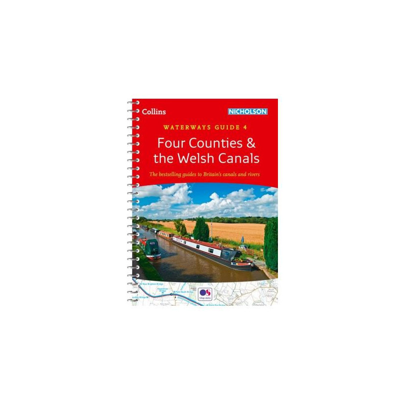




Plan your journey along Welsh and English canals with this expert guide. Covers locks, towpaths, pubs, and landmarks, with spiral binding for hassle-free navigation and exploration.
Data sheet
Specific References
Explore the scenic canals and waterways of Wales and the Four Counties with confidence using this trusted guidebook, designed for boaters, walkers, cyclists, and outdoor enthusiasts. Whether you're planning a leisurely cruise, a hiking adventure, or a cycling trip, this comprehensive guide provides everything you need to navigate with ease and discover hidden gems along the way.
Featuring large-scale Ordnance Survey maps, this guidebook offers unparalleled clarity for navigating the region’s waterways. Each map highlights essential details such as locks, towpaths, boat facilities, pubs, shops, and restaurants, ensuring you never miss a turn or a must-visit spot. The maps are designed to be easy to read, even in challenging conditions, making them ideal for both novice and experienced boaters.
Beyond maps, this guidebook includes thorough navigation notes that cover every aspect of your journey, from water depths and bridge heights to mooring spots and potential hazards. Descriptive texts delve into the rich history of each canal, offering fascinating insights into the engineering marvels and cultural heritage that define these waterways. Whether you're cruising the Llangollen Canal or exploring the Trent & Mersey, you’ll gain a deeper appreciation for the landscapes and communities you encounter.
This guidebook is more than just a boating resource—it’s a tool for all outdoor enthusiasts. With postcodes for GPS navigation, it’s perfect for planning road trips, hiking excursions, or cycling routes along the towpaths. The inclusion of local services, points of interest, and amenities ensures you’re always prepared, whether you need a quick stop for supplies or a cozy pub for a meal. Canoeists and paddleboarders will also find valuable information to enhance their water-based adventures.
Built to withstand the rigors of life on the water, this guidebook features a lie-flat spiral binding that stays open for hands-free use, even in windy conditions. The compact A5 format fits easily into a backpack or boat storage compartment, while the built-in bookmark flap ensures you never lose your place. Lightweight yet sturdy, it’s the perfect companion for extended trips or quick reference on the go.
With a legacy spanning more than five decades, the Collins/Nicholson guides have become the gold standard for waterway navigation in the UK. Regularly updated to reflect the latest changes and developments, this edition ensures you have the most accurate and reliable information at your fingertips. Whether you're a seasoned boater, a first-time explorer, or a visitor to Britain’s waterways, this guidebook is an indispensable tool for making the most of your journey.
Unlock the Best of Wales and the Four Counties with This Essential Waterways Guide
Discover the beauty and charm of Britain’s canals with the Collins No. 4 – Four Counties & the Welsh Canals guidebook, your ultimate resource for navigating the waterways of Wales and the surrounding counties. This meticulously crafted guide is designed to enhance every aspect of your journey, whether you're cruising, hiking, cycling, or simply exploring the region’s rich history and culture.
Precision Mapping for Seamless Navigation
At the heart of this guidebook are its detailed Ordnance Survey maps, which provide a clear and accurate representation of the waterways. Covering key routes such as the Llangollen Canal, Trent & Mersey Canal, Shropshire Union Canal, and more, these maps highlight essential features like locks, towpaths, boat facilities, and local amenities. With this level of detail, you can plan your route with confidence and avoid unexpected challenges along the way.
Expert Guidance for Every Adventure
Beyond maps, this guidebook offers comprehensive navigation notes that cover everything from water depths and bridge clearances to mooring spots and safety tips. Each canal is accompanied by descriptive texts that explore its history, engineering, and cultural significance, giving you a deeper understanding of the landscapes you traverse. Whether you're a seasoned boater or a first-time explorer, these insights will enrich your experience and help you make the most of your time on the water.
Designed for Practicality and Durability
Built to endure the demands of outdoor adventures, this guidebook features a lie-flat spiral binding that allows for easy reference while keeping your hands free. The compact A5 format makes it portable and convenient to carry, while the built-in bookmark flap ensures you can quickly return to your last read. Weighing just 2 kg, it’s lightweight enough to take anywhere, yet durable enough to withstand the elements.
A Legacy of Trust and Reliability
For over 50 years, the Collins/Nicholson guides have been the go-to resource for waterway enthusiasts across the UK. This latest edition continues that tradition, offering up-to-date information and expert insights to help you navigate with confidence. Whether you're embarking on a weekend getaway or an extended cruise, this guidebook is an indispensable tool for making your journey safe, enjoyable, and unforgettable.
This guidebook is packed with practical features to enhance your navigation experience. With 184 pages of detailed maps, navigation notes, and local insights, it covers over 10 major canals and waterways in Wales and the Four Counties. The lie-flat spiral binding ensures easy use on the go, while the compact dimensions of 148 x 210 mm make it portable and convenient. Published in January 2023, this edition reflects the latest updates and developments in the region’s waterways.
With a rich history spanning decades, this publisher is renowned for producing high-quality maps and guidebooks that cater to outdoor enthusiasts, travelers, and adventurers. Their commitment to accuracy, durability, and user-friendly design has made their guides a trusted resource for exploring the UK’s waterways and beyond.
This guide covers canals and waterways in Wales and south of Liverpool, including Caldon Canal, Llangollen Canal, Monmouthshire & Brecon Canal, Neath & Tennant and Swansea Canals, Montgomery Canal, Shropshire Union Canal, Staffordshire & Worcestershire Canal, Trent & Mersey Canal, and the River Weaver.
Yes, the guide features detailed Ordnance Survey maps showing locks, towpaths, boat facilities, pubs, shops, and restaurants.
Yes, it provides postcodes for local services and points of interest, making it ideal for GPS use.
Yes, it includes useful information for walking, cycling, canoeing, and paddleboarding along the waterways.
The guide has a spiral-bound 'lie flat' design, allowing it to stay open for easy reference while navigating.
The guide contains 184 pages of detailed maps, navigation notes, and historical information.
The latest edition was published on January 19, 2023.