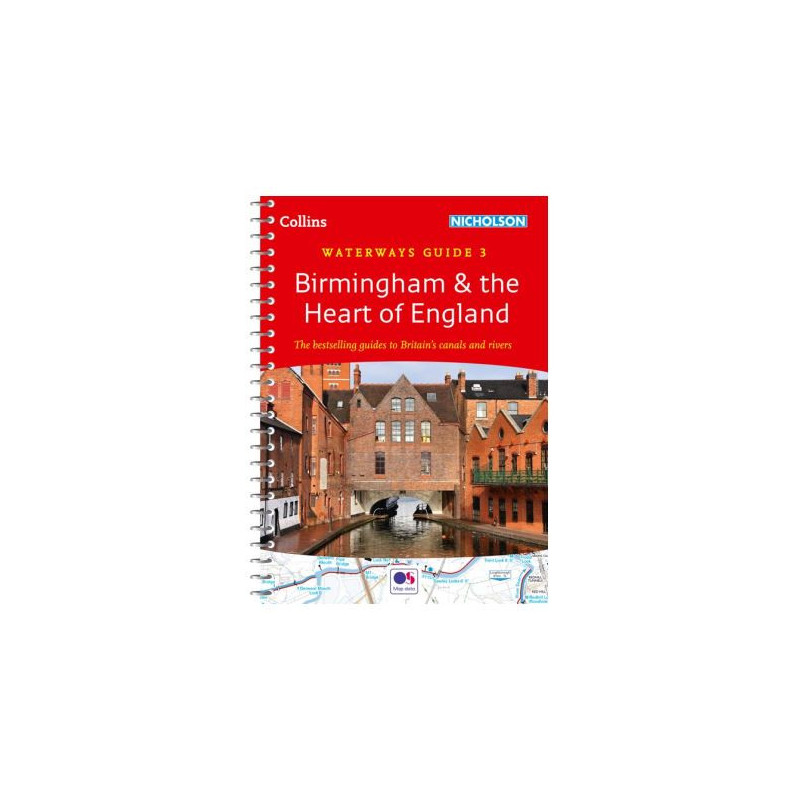




Explore Birmingham and the Heart of England with this trusted waterway guide. Detailed maps, navigation notes, and local points of interest make it essential for boaters, hikers, and cyclists.
Data sheet
Specific References
Explore the intricate network of canals and rivers around Birmingham and the Heart of England with confidence. This trusted guidebook is designed for boaters, whether you're planning a weekend cruise or a longer journey through some of the UK’s most scenic and historic waterways. With detailed maps, navigation notes, and practical information, it’s the perfect tool to ensure a smooth and enjoyable voyage.
This guide covers an extensive range of canals and navigable rivers, including the Ashby Canal, Birmingham Canal Navigations (Main Line), Birmingham & Fazeley Canal, Coventry Canal, Erewash Canal, Grand Union Canal (Main Line, Leicester section, and River Soar), Oxford Canal (North), Staffordshire & Worcestershire Canal (North), Stratford-on-Avon Canal (North), Worcester & Birmingham Canal (North), and the Trent & Mersey Canal. Each waterway is mapped in detail, providing you with the information you need to navigate safely and efficiently.
Navigate with ease using the guide’s high-quality Ordnance Survey maps, which clearly mark locks, towpaths, boat facilities, pubs, shops, and restaurants along your route. The maps are scaled at 2 inches to 1 mile (3 cm to 1 km), offering a perfect balance of detail and usability. Whether you're plotting your course or looking for a nearby amenity, these maps provide the clarity you need.
Beyond maps, this guide includes comprehensive navigation notes to help you tackle each waterway with confidence. Learn about the unique challenges and features of every route, from lock sequences to mooring spots. Additionally, the guide offers fascinating historical context for each canal, enriching your journey with stories of the past. Local services and points of interest are also listed, complete with postcodes for easy GPS navigation.
Built for life on the water, this guidebook features a practical A5 format with a lie-flat spiral binding, allowing you to keep your hands free while referencing the maps and notes. A built-in bookmark flap ensures you never lose your place, and the compact size makes it easy to store on board. Weighing just 9.5 oz and measuring 8.2 x 5.8 inches, it’s lightweight and portable without sacrificing durability.
With a legacy spanning more than five decades, this guidebook is a staple for experienced boaters, beginners, walkers, cyclists, and visitors alike. Its reliable information and user-friendly design have made it an indispensable resource for anyone exploring the UK’s waterways. Whether you're cruising for leisure or planning a longer voyage, this guide ensures you’re prepared for every twist and turn along the way.
Unlock the Best of Birmingham and the Heart of England’s Waterways
Discover the ultimate guidebook for navigating the canals and rivers of Birmingham and the Heart of England. This No. 3 edition in the renowned Collins/Nicholson Waterways Guides series is your go-to resource for safe, efficient, and enjoyable boating. Covering 11 major waterways, including the Grand Union Canal, Oxford Canal, and Trent & Mersey Canal, this guide provides everything you need to plan your journey with confidence.
Precision Mapping for Effortless Navigation
Featuring detailed Ordnance Survey maps at a scale of 2 inches to 1 mile (3 cm to 1 km), this guide ensures you never miss a turn. The maps highlight locks, towpaths, boat facilities, pubs, shops, and restaurants, making it easy to find essential services and points of interest along your route. With 192 pages of expertly curated content, you’ll have all the information you need at your fingertips.
Expert Navigation Notes and Historical Context
Navigate with ease using the guide’s comprehensive navigation notes, which provide step-by-step instructions for each waterway. Learn about the history of the canals, from their industrial origins to their modern-day charm, and discover local attractions with postcodes for GPS navigation. Whether you're a seasoned boater or a first-time explorer, this guide enhances your journey with practical advice and fascinating insights.
Built for Life on the Water
Designed with boaters in mind, this guidebook features a lie-flat spiral binding that stays open for hands-free use. The A5 format is compact and lightweight, measuring 8.2 x 5.8 inches and weighing just 9.5 oz, making it easy to store on board. A built-in bookmark flap ensures you can quickly return to your last reference point, while the durable construction withstands the rigors of life on the water.
This guidebook is packed with practical features to enhance your boating experience. It includes 192 pages of detailed maps, navigation notes, and historical insights, all presented in a convenient A5 format (148 x 210 mm). The lie-flat spiral binding ensures easy reference, while the built-in bookmark flap keeps your place secure. Weighing just 9.5 oz, it’s lightweight and portable, making it ideal for use on board.
With a reputation for excellence in cartography and travel guides, this publisher has been a trusted name in navigation resources for over half a century. Known for their precision, durability, and user-friendly design, their guides are relied upon by boaters, hikers, and travelers across the UK and beyond.
The maps are presented at a scale of 2 inches to 1 mile or 3 cm to 1 km, providing detailed navigation information.
Yes, the maps include postcodes for key locations, making them ideal for GPS navigation.
The guide features a lie-flat spiral binding with a built-in bookmark flap, designed for frequent use and durability.
Yes, it provides historical notes on each canal, along with navigation details and local points of interest.
Absolutely, it is designed for both experienced boaters and beginners, as well as hikers, cyclists, and visitors.
It covers canals and waterways around Birmingham and the Heart of England, including 11 major routes such as the Grand Union Canal and Trent & Mersey Canal.
The guide contains 192 pages of detailed maps, navigation notes, and local information.