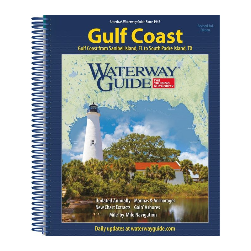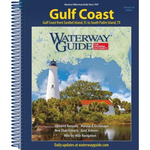



Cruise the Western Gulf Coast with ease! This guide covers Lake Pontchartrain to South Padre Island, featuring NOAA charts, marina locations, and navigation tips in a rugged spiral-bound design.
Data sheet
Specific References
Navigate the Western Gulf Coast with Confidence and Ease
The Western Gulf Coast offers some of the most rewarding cruising grounds in the U.S., but its shifting tides, busy waterways, and diverse ecosystems demand a guide that’s as reliable as it is comprehensive. The Waterway Guide Western Gulf Coast is the definitive resource for boaters tackling this region, providing everything from NOAA charts and waypoints to marina listings and local cruising tips—all in one durable, cockpit-ready volume. Whether you're plotting a course from New Orleans to South Padre Island or seeking hidden anchorages along the way, this guide ensures you have the tools and knowledge to navigate safely and efficiently.
Expert Navigation Tools for Every Leg of Your Journey
This guide doesn’t just point you in the right direction—it gives you the confidence to navigate with precision. Featuring up-to-date NOAA charts, you’ll have access to critical details like depth soundings, navigational aids, and hazard markers, all tailored to the Western Gulf Coast’s unique challenges. The included waypoints and coordinates simplify route planning, while detailed marina listings—complete with contact information, amenities, and docking advice—help you plan stops without the guesswork. Whether you're avoiding shallow waters or finding the best fuel dock, this guide puts the information you need at your fingertips.
Local Insights and Practical Advice for Smarter Cruising
Beyond charts and coordinates, the Waterway Guide Western Gulf Coast offers a wealth of practical knowledge to enhance your voyage. The Skipper’s Handbook provides quick-reference guidance on tides, weather patterns, and local regulations, ensuring you’re always prepared for changing conditions. "Going Ashore" maps highlight nearby services, restaurants, and attractions, so you can make the most of every stop. For those seeking insider tips, the bonus section "Skipper Bob Cruising the Gulf Coast" delivers firsthand accounts and advice from experienced sailors, adding a layer of local expertise to your journey.
Engineered for Durability and Convenience on the Water
Life on the water demands tools that can keep up with the elements, and this guide is built to last. The flexible spiral binding and thick laminated covers resist water, wind, and wear, making it ideal for cockpit use. Its compact 8.5 x 10.5-inch format fits easily in navigation stations or on chart tables, while the 420-page layout ensures all critical information is organized for quick access. Whether you're at the helm or planning your next move, this guide is designed to perform in real-world conditions, so you can focus on the journey ahead.
The Waterway Guide Western Gulf Coast is a 2019 edition featuring a durable spiral-bound design with thick laminated covers, ensuring longevity in marine environments. Measuring 8.5 x 10.5 inches and weighing 3.5 pounds, this 420-page guide is compact yet comprehensive, offering NOAA charts, marina listings, waypoints, and local cruising insights tailored to the Western Gulf Coast region.
For decades, this series has been the gold standard for cruising guides, trusted by boaters for its accuracy, practicality, and commitment to safety. Each edition is meticulously researched and updated to reflect the latest navigational data, local insights, and marina information, ensuring boaters have the most reliable resources for their voyages. Designed for real-world use, these guides combine official charts with firsthand knowledge, making them indispensable tools for both seasoned sailors and those new to coastal cruising.
The guide covers the western Gulf Coast from Lake Pontchartrain and New Orleans down to South Padre Island at the Texas/Mexico border, including detailed navigation advice for key waterways in the region.
Yes, the guide includes NOAA charts along with navigation tips, anchorage locations, marina listings, and docking advice for safe and informed cruising.
The guide features a flexible spiral binding with thick laminated covers, designed for durability and ease of use in cockpits or at the helm.
It includes the complete Skipper’s Handbook, Going Ashore maps, and a bonus section titled Skipper Bob Cruising the Gulf Coast for extended insights.
While published in 2019, the guide provides foundational navigation data, marina listings, and cruising tips that remain relevant for planning and reference.
The guide measures 8.5 x 10.5 inches, weighs 3.5 pounds (1.6 kg), and contains 420 pages, making it portable yet comprehensive for onboard use.
You might also like