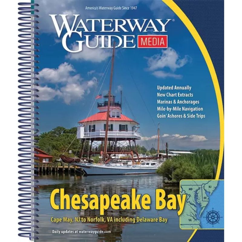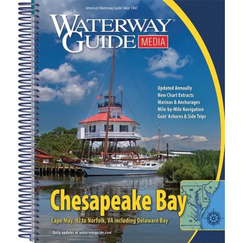



Your essential companion for exploring Chesapeake Bay, featuring mile-by-mile navigation, aerial routes, marina details, and GPS waypoints—all in a durable, spiral-bound guide.
Data sheet
Specific References
Explore the Chesapeake Bay, Delaware Bay, and the Atlantic coast of Delmarva with confidence using this annually updated cruising guide. Designed for boaters seeking reliable, mile-by-mile navigation details, this 444-page spiral-bound guide delivers unparalleled accuracy and convenience for safe and enjoyable voyages from Cape May to Norfolk.
Navigate with precision thanks to detailed aerial photographs overlaid with marked routes, ensuring you stay on course whether you're cruising open waters or threading through narrow channels. The guide includes GPS waypoints, distance tables, and bridge clearance charts, making trip planning effortless and efficient. Every critical detail is accounted for, from marina locations to anchorage spots, so you can focus on the journey.
Discover more than just navigation with the "Goin' Ashore" articles, offering in-depth insights into ports, local attractions, and essential services. Whether you're docking for the night or exploring ashore, these guides help you make the most of every stop. The heavy laminated covers and built-in bookmark flaps ensure durability, even in the harshest cockpit conditions.
This 75th-anniversary edition combines decades of maritime expertise with modern updates, making it the trusted choice for recreational boaters. The spiral binding allows for easy handling and quick reference, while the compact 8.5" x 10.5" size fits perfectly in any navigation station. With 400 pages of meticulously curated information, this guide is your ultimate resource for exploring one of America's most iconic waterways.
Navigate the Chesapeake Bay with Unmatched Precision and Ease
The Chesapeake Bay Waterway Guide is the definitive resource for boaters seeking a seamless and informed cruising experience. Updated annually, this 444-page guide covers the Chesapeake Bay, Delaware Bay, and the Atlantic coast of Delmarva, providing mile-by-mile navigation details that ensure you never miss a turn. Whether you're a seasoned sailor or a weekend cruiser, this guide delivers the accuracy and reliability you need to explore with confidence.
Designed for Durability and Convenience in Any Condition
Built to withstand the demands of life on the water, this guide features heavy laminated covers and built-in bookmark flaps, protecting it from the elements while keeping your place. The spiral binding allows for effortless page-turning, even in rough conditions, and the compact 8.5" x 10.5" size ensures it fits perfectly in your cockpit or navigation station. Weighing just 3.2 lbs, it’s easy to carry yet packed with essential information.
More Than Just a Navigation Tool—A Complete Cruising Companion
Beyond navigation, this guide offers a wealth of practical information to enhance your journey. Detailed "Goin' Ashore" articles provide insights into ports, local attractions, and services, helping you make the most of every stop. With GPS waypoints, distance tables, and bridge clearance charts, planning your route has never been easier. Whether you're charting a course from Norfolk to Baltimore or exploring the Eastern Shore, this guide is your trusted partner on the water.
This 2022 edition of the Chesapeake Bay Waterway Guide spans 444 pages, covering the Chesapeake Bay from Norfolk, VA, to Baltimore, MD, including the Eastern Shore, Potomac River, and Susquehanna River. The spiral-bound paperback measures 11" x 17" when open (folded to 8.5" x 11") and features heavy laminated covers with bookmark flaps for durability. Weighing 3.2 lbs, it includes GPS waypoints, aerial photographs with marked routes, marina listings, and detailed planning charts.
With over 75 years of experience, this publisher has established itself as a leader in maritime navigation resources. Known for producing annually updated guides, their publications are trusted by boaters for their accuracy, durability, and practical insights. Each guide is crafted to meet the needs of recreational boaters, combining expert knowledge with user-friendly features for a seamless cruising experience.
The guide covers the Chesapeake Bay from Norfolk, VA to Baltimore, MD, including the Eastern Shore, Potomac River, Susquehanna River, Delaware Bay, and the Atlantic coast of Delmarva from Cape May to Norfolk.
Yes, the guide includes GPS waypoints for precise navigation throughout the covered areas.
When folded, the guide measures 8.5 x 11 inches, making it convenient for use in a cockpit.
The guide features heavy laminated covers and bookmarker flaps, designed for optimal durability in cockpit conditions.
Yes, it provides detailed marina listings along with location maps for easy reference.
Yes, the guide includes extended 'Goin’ Ashore' articles that provide insights and details about various ports.
The guide uses a spiral-bound paperback format, allowing it to lay flat for easy reading and reference.
You might also like