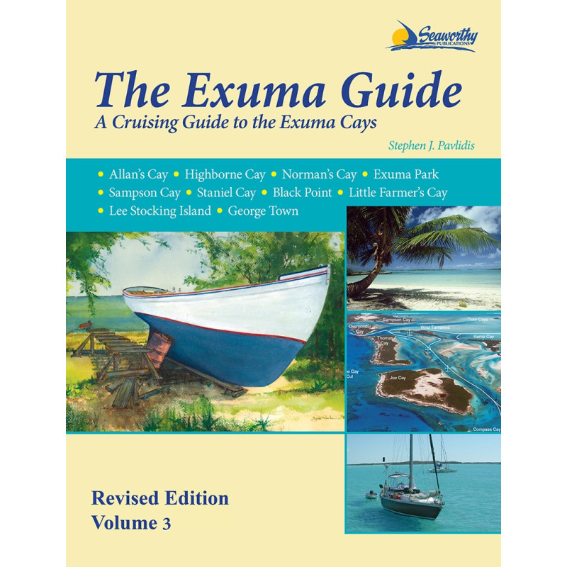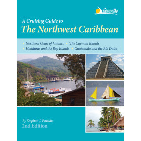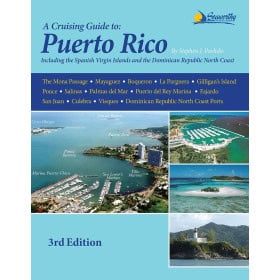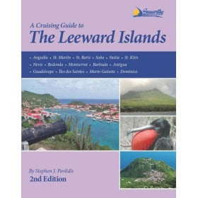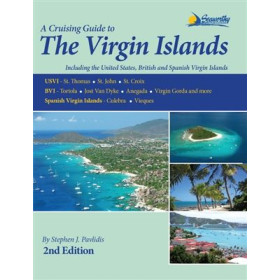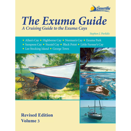




Navigate the Exuma Cays confidently with this comprehensive guide. Includes color maps, GPS coordinates, aerial imagery, and expert tips for every anchorage, reef, and passage in the island chain.
Data sheet
Specific References
Navigate the breathtaking Exuma Cays with confidence using this comprehensive cruising guide, meticulously crafted for sailors and adventurers. Covering every island, cove, and hidden gem in the Exuma chain—including the renowned Exuma Cays Land and Sea Park—this guide is your indispensable resource for safe and unforgettable voyages. Whether you're charting a course through shallow passes, anchoring in secluded bays, or exploring vibrant coral reefs, this book delivers the precision and detail you need to make the most of your journey.
Built on years of firsthand exploration and independent hydrographic surveys, this guide offers unparalleled accuracy. Every latitude, longitude, and waypoint has been personally verified by the author, ensuring you have the most reliable data at your fingertips. Full-color maps, aerial photographs, and detailed sketches provide a clear visual reference, while GPS coordinates and step-by-step navigation instructions guide you through even the most challenging waters. From major harbors to remote sandbars, no detail is overlooked.
Beyond navigation, this guide is packed with practical insights to enhance your cruising experience. Discover the best anchorages, local services, and dive sites, along with historical context and tips for navigating the unique challenges of the Exumas. Extensive appendices, a thorough index, and a curated bibliography make it easy to find the information you need, whether you're planning your route or on the go. This isn’t just a guide—it’s your trusted companion for exploring one of the world’s most stunning cruising grounds.
Explore the Exuma Cays with Confidence and Precision
This essential cruising guide is your key to unlocking the beauty and complexity of the Exuma Cays, one of the most sought-after sailing destinations in the Bahamas. Whether you're a seasoned sailor or embarking on your first adventure in these waters, this guide provides the tools you need to navigate with ease and discover hidden gems along the way. With 238 pages of expertly curated content, it’s the most detailed and reliable resource available for the Exuma chain, offering everything from GPS waypoints to local insights that only come from years of firsthand experience.
Built on Firsthand Expertise
What sets this guide apart is its foundation in independent research and personal exploration. The author, a seasoned navigator, has conducted his own hydrographic surveys to ensure the accuracy of every latitude, longitude, and depth reading. This means you can trust the data to be precise, whether you're plotting a course through narrow passes or anchoring in a secluded cove. The guide includes full-color maps and aerial photographs, giving you a visual advantage when identifying landmarks, hazards, and points of interest.
More Than Just Navigation
This guide goes beyond charts and coordinates to offer a holistic view of the Exuma Cays. Inside, you’ll find detailed descriptions of anchorages, local services, and dive sites, as well as historical context and practical tips for navigating the unique challenges of the region. Appendices cover everything from marine regulations to local customs, while an extensive index and bibliography make it easy to find the information you need. Whether you're planning a multi-day voyage or a quick stopover, this guide ensures you’re prepared for every aspect of your journey.
Designed for Sailors, by Sailors
Every feature of this guide is tailored to the needs of cruisers. The 11 × 9-inch paperback format is easy to handle on deck, and the durable binding ensures it withstands the rigors of life at sea. With 2 pounds of weight, it’s lightweight enough to carry anywhere but packed with enough detail to be your go-to resource. The 3rd revised edition (2016) reflects the latest updates to the region, so you can sail with confidence knowing your information is current.
This comprehensive cruising guide for the Exuma Cays is packed with essential features to support your navigation. The 238-page paperback edition measures 11 × 9 × 1 inches and weighs 2 pounds, making it practical for onboard use. It includes full-color maps, aerial photographs, and GPS waypoints, all based on independent hydrographic surveys for unmatched accuracy. The 3rd revised edition (2016) ensures you have the most up-to-date information for safe and enjoyable cruising.
With decades of experience in maritime publishing, this publisher is dedicated to creating high-quality cruising guides that sailors can trust. Their publications are known for their accuracy, attention to detail, and practical focus, making them a go-to resource for adventurers exploring some of the world’s most beautiful and challenging waters. Each guide is crafted with the needs of sailors in mind, ensuring reliable and up-to-date information for every voyage.
This guide covers all the Exuma Cays, including the Exuma Cays Land and Sea Park in the Bahamas, with detailed information on ports, coves, passes, anchorages, major reefs, and sandbanks across the entire island chain.
No, the charts are based on independent, personal surveys conducted by the author, ensuring highly accurate and detailed hydrographic data.
Yes, it provides GPS waypoints along with detailed navigation instructions, approaches, and routes for safe cruising.
The guide features full-color maps with latitude, longitude, and distances, as well as aerial photos of harbors and color sketch charts.
Yes, it includes details on diving sites, along with services, anchorages, and historical context for the region.
This revised 3rd edition contains 238 pages, including extended appendices, an index, and a bibliography.
The guide measures 11 × 9 × 1 inches and weighs 2 pounds, making it portable for onboard use.
You might also like