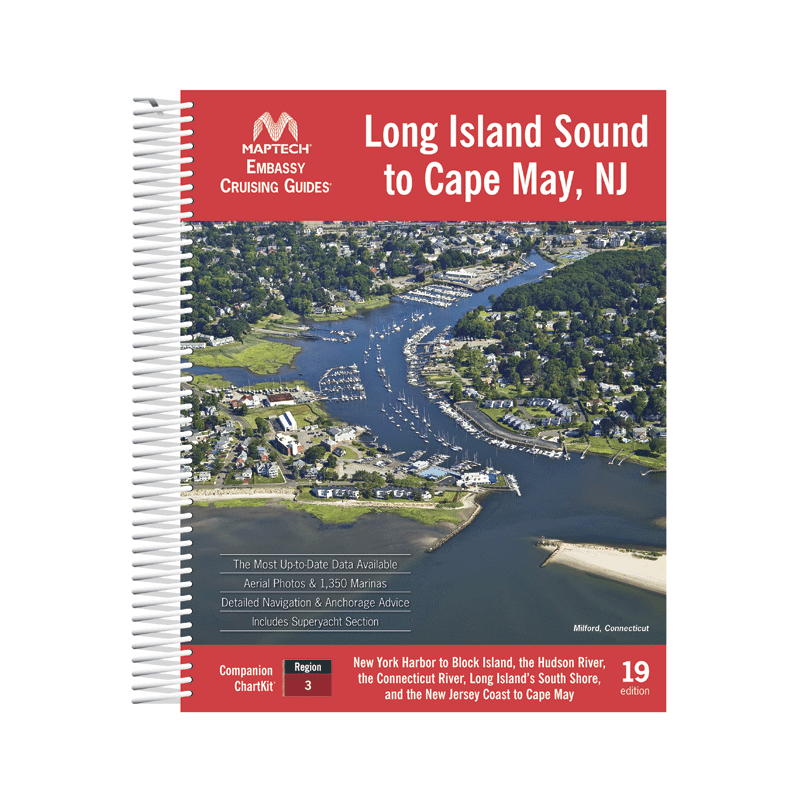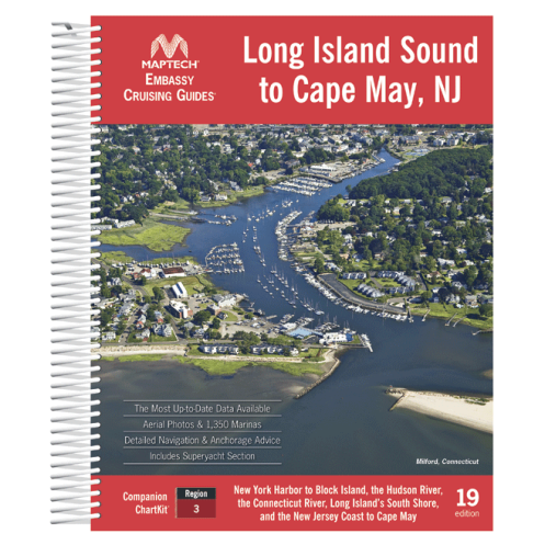




Explore the Atlantic coast from Long Island Sound to Cape May with this detailed cruising guide. Features 1,350+ marinas, GPS waypoints, aerial imagery, and expert local navigation tips for boaters.
Data sheet
Specific References
Navigate the bustling waterways from New York Harbor to Cape May, NJ, with confidence using this comprehensive cruising guide. Designed for boaters who demand precision and local insight, this guide delivers unmatched coverage of one of the East Coast’s most dynamic cruising regions. Whether you're planning a weekend getaway or an extended voyage, this resource ensures you have the most accurate and up-to-date information at your fingertips.
This guide spans over 300 nautical miles of coastline, rivers, and sounds, including Long Island Sound, the Hudson River, the Connecticut River, the south shore of Long Island, and the New Jersey coast. With detailed entries for more than 1,350 marinas, you’ll find everything from full-service facilities to hidden gems off the beaten path. Each listing is packed with practical details, including amenities, contact information, and local navigation tips to help you plan your stops with ease.
Beyond marina listings, this guide is a treasure trove of local expertise. Benefit from insider advice on navigating tricky channels, avoiding hazards, and identifying the best anchorages. Hundreds of GPS waypoints are included to streamline your route planning, while aerial photos provide a bird’s-eye view of key areas, helping you visualize your approach before you arrive. Whether you're a seasoned sailor or a weekend cruiser, these insights will enhance your journey and keep you on course.
This guide goes beyond charts and coordinates to offer a complete cruising experience. Discover coastal restaurants, attractions, and points of interest that make each stop memorable. From waterfront dining to historic landmarks, you’ll find recommendations to enrich your voyage. The guide’s durable spiral binding and wrap-around covers ensure it stands up to the rigors of life on the water, making it a reliable companion for every trip.
Updated annually, this 19th edition reflects the latest changes in marinas, navigation aids, and local conditions. With 592 pages of meticulously curated information, it’s the most trusted resource for cruisers exploring this iconic stretch of the East Coast. Whether you're charting a course through the busy waters of New York Harbor or seeking a quiet cove along the New Jersey shore, this guide provides the tools you need to navigate with confidence and ease.
Explore the East Coast’s Most Iconic Waterways with Confidence
This comprehensive cruising guide is your ultimate resource for navigating the coastal waters from Long Island Sound to Cape May, NJ. Designed for boaters who demand accuracy and local insight, it covers over 300 nautical miles of diverse cruising grounds, including the Hudson River, Connecticut River, and the south shore of Long Island. With detailed information on more than 1,350 marinas, this guide ensures you’ll never be without a plan, whether you're docking for the night or seeking a quick fuel stop.
Precision Navigation with Local Expertise
Packed with hundreds of GPS waypoints and aerial photos, this guide takes the guesswork out of navigation. Local navigation tips help you avoid hazards, identify the best anchorages, and make the most of every stop. The 19th edition, updated for 2022, reflects the latest changes in marinas, navigation aids, and coastal conditions, ensuring you have the most current information available.
Built for Life on the Water
With 592 pages of detailed content, this guide is as robust as it is informative. Its durable spiral binding and wrap-around covers are designed to withstand the elements, making it a reliable companion for every voyage. Whether you're a seasoned sailor or a weekend cruiser, this guide provides the tools you need to navigate with confidence and discover the best of the East Coast’s waterways.
This cruising guide offers comprehensive coverage of the coastal waters from Long Island Sound to Cape May, NJ, including the Hudson River, Connecticut River, and the south shore of Long Island. With 592 pages, it features detailed listings for over 1,350 marinas, hundreds of GPS waypoints, and aerial photos for enhanced navigation. The 19th edition (2022) is printed in English and bound with a durable spiral binding, measuring 8 1/2" x 11" for easy use on board.
Known for producing high-quality nautical guides, this brand has built a reputation for delivering accurate, up-to-date, and practical resources for boaters. Their guides are trusted by cruisers for their comprehensive coverage, local insights, and durable construction, making them a go-to choice for navigating coastal waters with confidence.
The guide features an unbreakable plastic spiral binding with wrap-around covers for durability and ease of use on board.
Yes, the guide includes hundreds of GPS waypoints to assist with navigation and route planning.
This edition provides detailed information on over 1,350 marinas along the covered coastline.
The guide weighs approximately 2 kilograms, making it sturdy yet manageable for onboard reference.
Yes, it offers local navigation advice to help boaters navigate safely and efficiently in the covered areas.
Yes, the guide features aerial photos to provide visual references for key locations and landmarks.
The guide measures 8 1/2 inches by 11 inches, offering a large, easy-to-read format.
You might also like