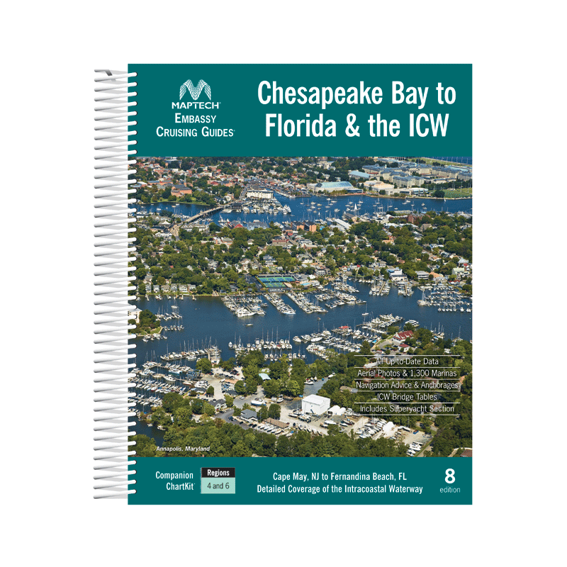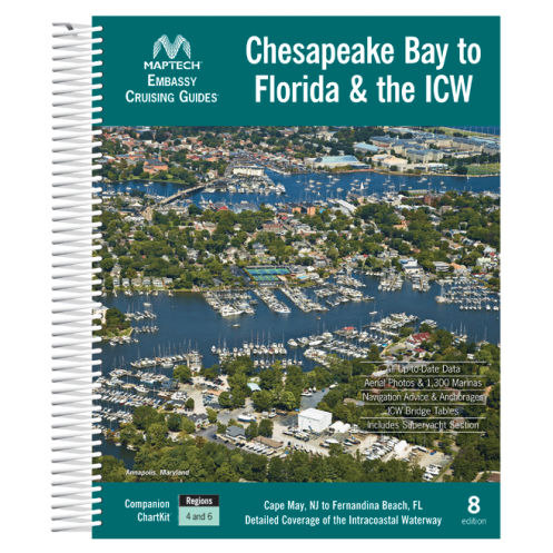




Spiral-bound cruising guide for Chesapeake Bay to Florida and the ICW. Includes marina listings, local navigation tips, aerial port photos, and ICW bridge tables for smooth sailing.
Data sheet
Specific References
Your Ultimate Cruising Companion for the East Coast
Explore the Atlantic seaboard with unparalleled confidence using this all-in-one cruising guide, meticulously crafted for boaters navigating from Cape May and Delaware Bay to northern Florida. This 9th edition, updated in 2021, is your go-to resource for mastering the Chesapeake Bay, the Intracoastal Waterway (ICW), and offshore routes, offering a wealth of practical information in a single, easy-to-use volume. With 570 pages of detailed content, this guide is designed to be your trusted co-pilot, whether you're planning a weekend getaway or an extended coastal adventure.
Built for the Demands of Life on the Water
Engineered for durability and convenience, this guide features a rugged spiral binding that lays flat for effortless reference while underway. Its generous 8 1/2" x 11" format ensures clarity and readability, even in challenging conditions, while the lightweight 2 kg design makes it easy to handle and store. The guide’s comprehensive coverage spans latitudes from 30.2769769°N to 40.3443489°N and longitudes from -82.1594584°W to -74.2363176°W, providing precise navigation data for every leg of your journey. Whether you're charting a course through the ICW’s busy waterways or exploring offshore routes, this guide delivers the accuracy and detail you need to navigate with confidence.
More Than Just a Guide—Your Onboard Navigator
This guide is packed with features that go beyond traditional charts, offering a level of detail that transforms your cruising experience. Discover exhaustive listings of marinas, complete with services, contact information, and amenities, so you can easily find the best spots to dock, refuel, or rest. Local navigation tips help you avoid common pitfalls, while aerial photographs of key harbors provide a clear visual reference for safe approaches. The included ICW bridge table is an invaluable tool for timing your passages, ensuring you avoid unnecessary delays. Compatible with ChartKit Regions 4 and 6, this guide seamlessly integrates with your existing navigation tools, making it an indispensable part of your onboard library.
Designed for Boaters Who Demand the Best
Whether you're a seasoned sailor or a casual cruiser, this guide is tailored to meet your needs. Its user-friendly layout and practical insights make it ideal for planning every aspect of your voyage, from selecting the best anchorages to discovering hidden gems along the way. The 2021 edition ensures you have the most current information, so you can navigate with confidence and peace of mind. With its focus on practicality, durability, and comprehensive coverage, this guide is more than just a book—it’s your key to unlocking the full potential of your East Coast cruising adventures.
This 570-page cruising guide delivers everything you need for safe and efficient navigation along the East Coast, from Cape May to northern Florida. The 2021 edition features a durable spiral binding, a large 8 1/2" x 11" format for easy reading, and a lightweight 2 kg design for portability. It includes detailed marina listings, local navigation tips, aerial harbor photographs, and an ICW bridge table, all presented in English for seamless use on the water.
For decades, this trusted name in marine navigation has been a go-to resource for boaters seeking reliable, detailed, and practical guides. Known for combining expert local knowledge with user-friendly design, their publications are crafted to enhance safety, convenience, and enjoyment on the water. Whether you're navigating busy waterways or exploring remote anchorages, their guides are designed to be your indispensable companion for unforgettable cruising experiences.
The spiral binding is made of durable plastic-coated wire, designed to withstand frequent handling and harsh marine conditions without rusting or degrading.
The aerial port photos included in the guide are in full color, providing clear and detailed visual references for navigation.
No, the guide focuses on marinas, local navigation tips, bridge tables, and destination advice but does not include tide or current data.
New editions are typically published every 2-3 years to ensure updated information on marinas, navigation routes, and local conditions.
The guide is a printed book and is not directly compatible with digital tools, but it complements ChartKit Regions 4 and 6 for reference.
The guide weighs approximately 4.4 lbs (2 kg) when shipped, including packaging.
The guide provides local navigation tips and marina details but does not include emergency contact information or safety warnings.
You might also like