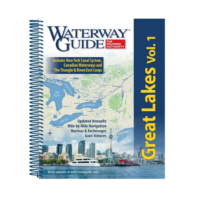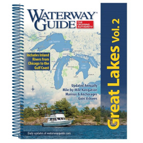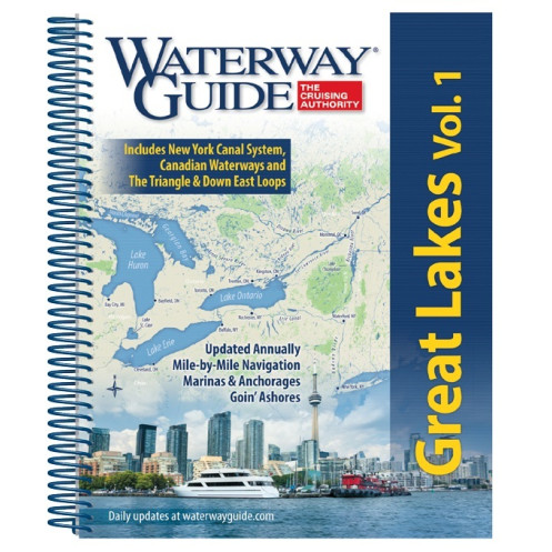



Essential for boaters exploring the eastern Great Lakes—from New York’s canals to Lake Huron. Includes navigation details, GPS waypoints, aerial routes, and marina listings for safe voyages.
Data sheet
Specific References
Explore the vast and stunning waterways of the eastern Great Lakes with confidence. This comprehensive guide is meticulously designed for boaters seeking accurate, up-to-date navigation information for some of North America’s most iconic cruising grounds. Whether you're planning a weekend getaway or an extended voyage, this guide delivers the critical details you need to navigate safely and efficiently.
Navigate with ease thanks to detailed mile-by-mile descriptions that cover every twist and turn of the waterways. From the New York Canal System to the Trent-Severn Waterway, Lake Ontario, Lake Erie, Lake St. Clair, and beyond, this guide provides clear, concise instructions to keep you on course. Aerial photographs with marked routes offer a bird’s-eye view of your journey, ensuring you never miss a critical landmark or hazard.
Find the perfect spot to dock or drop anchor with confidence. This guide includes exhaustive lists of marinas, complete with location maps and essential details like services, fuel availability, and contact information. Anchorage zones are clearly identified, so you can plan your stops with ease, whether you're looking for a quiet cove or a full-service marina.
Leverage the power of modern navigation with included GPS waypoints that sync seamlessly with your onboard systems. Detailed planning charts, distance tables, and bridge tables provide all the data you need to plot your course efficiently. Whether you're navigating narrow canals or open lakes, these tools ensure you stay on track and avoid unexpected obstacles.
Discover the best of each port with in-depth "Goin' Ashore" articles that highlight local attractions, dining, and must-see landmarks. These features go beyond navigation, offering insights into the culture and history of the regions you visit. Whether you're looking for a hidden gem or a popular hotspot, these guides help you make the most of every stop.
Designed with boaters in mind, this guide features a flexible spiral binding and thick laminated covers with built-in bookmark flaps. This rugged construction ensures it withstands the rigors of life on the water, from splashes to rough handling. The spiral binding allows the book to lay flat, making it easy to reference while underway.
Stay ahead of changes with this annually updated guide. Navigation conditions, marina services, and local regulations can shift from year to year, and this guide ensures you have the most current information at your fingertips. Trust in a resource that evolves with the waterways, so you can focus on enjoying your journey.
Unlock the Eastern Great Lakes with the Ultimate Navigation Companion
Whether you're a seasoned boater or embarking on your first voyage through the Great Lakes, this guide is your trusted resource for safe and enjoyable navigation. Covering the eastern half of the Great Lakes—from the New York Canal System to Lake Huron—this volume provides everything you need to explore with confidence. Updated annually, it ensures you have the latest information on waterways, marinas, and local attractions, making it an indispensable tool for any boater.
Precision Navigation for Every Mile
This guide offers unparalleled detail with mile-by-mile navigation instructions, aerial photographs with marked routes, and GPS waypoints. Navigate complex waterways like the Trent-Severn Waterway or the Triangle Loop with ease, thanks to clear, concise directions and planning tools. Distance tables and bridge tables further enhance your ability to plot a safe and efficient course, no matter the conditions.
Marinas, Anchorages, and Local Insights
Find the perfect place to dock or drop anchor with comprehensive listings of marinas and anchorage zones. Each entry includes location maps, services, and contact details, so you can plan your stops effortlessly. Beyond navigation, the guide features "Goin' Ashore" articles that dive into the culture, history, and attractions of each port, helping you make the most of your time on land.
Built for Life on the Water
Designed to withstand the demands of boating, this guide features a durable spiral binding and thick laminated covers with built-in bookmark flaps. The flexible design allows it to lay flat for easy reference while underway, and the rugged construction ensures it holds up to splashes, wind, and frequent use. Whether you're navigating calm lakes or choppy waters, this guide is ready for the journey.
This annually updated navigation guide covers the eastern Great Lakes, including the New York Canal System, Lake Ontario, Trent-Severn Waterway, Lake Erie, Lake St. Clair, and Lake Huron. It features mile-by-mile navigation details, aerial photographs with marked routes, GPS waypoints, marina listings, anchorage information, and "Goin' Ashore" port guides. The guide is printed in a durable spiral-bound format with laminated covers and bookmark flaps, weighing 1.6 kg.
For decades, this series has been the go-to resource for boaters navigating North America’s waterways. Known for its accuracy, comprehensive coverage, and practical design, it provides boaters with the tools they need to explore with confidence. Each edition is meticulously updated to reflect the latest changes in navigation conditions, marinas, and local attractions.
This volume covers the eastern Great Lakes, including the New York Canal System, Lake Ontario, Trent-Severn Waterway, Lake Erie, Lake St. Clair, Lake Huron, Georgian Bay, North Channel, and the preferred route of the Triangle Loop (Champlain Waterway).
Yes, the guide includes mile-by-mile navigation information, along with GPS waypoints, aerial photographs with marked routes, and detailed planning charts.
The guide features a flexible spiral binding with thick laminated covers and built-in bookmark flaps, designed for durability and easy handling on board.
Yes, it provides comprehensive marina listings with location maps, as well as detailed anchorage information for safe mooring.
Yes, the guide includes distance tables and bridge clearance charts to assist with safe and efficient navigation planning.
The 'Goin’ Ashore' sections feature extended articles on ports, offering insights into local attractions, services, and points of interest for boaters.
Yes, it includes detailed planning charts, distance tables, and GPS waypoints, making it ideal for both short trips and long-distance route planning.
You might also like