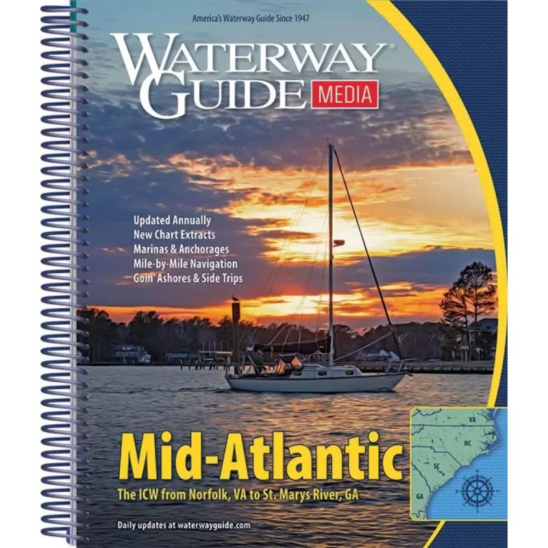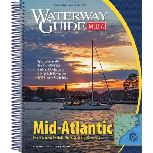



Essential for Atlantic ICW cruisers, this guide provides mile-by-mile navigation, marina directories, GPS waypoints, and aerial maps. Spiral-bound and laminated for durability on deck.
Data sheet
Specific References
Navigate with confidence along America’s most scenic coastal route
Embark on your Atlantic Intracoastal Waterway journey fully prepared with this comprehensive cruising guide. Designed specifically for recreational boaters, this annually updated resource delivers unparalleled navigation support from Norfolk, Virginia to Florida’s border. Whether you're planning a weekend getaway or an extended coastal voyage, this guide transforms complex waterway systems into manageable, enjoyable passages with its mile-by-mile navigation details and professional-grade cruising data.
Professional-grade navigation tools for recreational boaters
Experience the waterway like a local captain with this guide's unique combination of practical navigation aids and local knowledge. The publication features GPS waypoints that sync seamlessly with your onboard electronics, while detailed distance tables help you plan fuel stops and overnight stays with precision. Bridge clearance charts eliminate guesswork about vertical clearances, and the spiral-bound format stays open flat on your chart table - even in windy conditions. The heavy-duty laminated covers with built-in bookmark flaps withstand cockpit conditions while keeping your place during frequent reference checks.
Complete marina directory with visual navigation aids
Find safe harbor at every stop with the guide's comprehensive marina listings that include services, contact information, and approach details. Aerial photographs with marked routes provide visual confirmation of your position, while "Goin' Ashore" articles offer insider tips about ports along your journey. The guide's 8.5 x 10.5-inch format fits perfectly on most boat chart tables and navigation stations, and the 468-page volume delivers complete coverage without unnecessary bulk. Waterproof pages and durable binding ensure your guide remains readable through multiple seasons of use.
Trusted resource for safe and enjoyable coastal cruising
Join thousands of boaters who rely on this guide for safe passage along the Atlantic Intracoastal Waterway. The publication's annual updates incorporate the latest changes to navigation aids, bridge schedules, and marina facilities, giving you current information for confident decision-making. Whether you're navigating the busy waters of the Chesapeake Bay, the scenic marshes of the Carolinas, or the challenging inlets of Georgia, this guide provides the local knowledge and professional tools you need to make your coastal adventure both safe and memorable.
Your complete navigation solution for the Atlantic Intracoastal Waterway
This annually updated cruising guide delivers professional-grade navigation tools tailored for recreational boaters exploring the 1,090-mile Atlantic Intracoastal Waterway. Covering the entire route from Norfolk, Virginia to Florida's border, the guide combines precise navigation data with practical cruising information in a durable, cockpit-friendly format.
Engineered for real-world boating conditions
The guide's 8.5 x 10.5-inch spiral-bound format stays open flat on your chart table, while heavy-duty laminated covers with built-in bookmark flaps withstand marine environments. At 1.6 kg (3.5 lbs), the 468-page volume provides comprehensive coverage without excessive bulk, featuring water-resistant pages that resist salt spray and humidity.
Comprehensive navigation data for confident passage planning
Inside you'll find mile-by-mile navigation details including GPS waypoints, bridge clearance tables, and distance charts that help you calculate fuel stops and overnight anchorages. The guide includes detailed marina directories with approach information, service offerings, and contact details for over 200 marinas along the route. Aerial photographs with marked routes provide visual confirmation of your position, while "Goin' Ashore" articles offer local insights about ports and attractions at each stop.
Trusted by boaters for safe coastal navigation
Updated annually to reflect changes in navigation aids, bridge schedules, and marina facilities, this guide gives you current information for safe decision-making. The spiral binding allows for easy page turning in windy conditions, and the compact size fits most boat chart tables. Whether you're navigating the busy waters of the Chesapeake Bay or the challenging inlets of Georgia, this guide provides the tools and local knowledge you need for a successful coastal cruise.
This 2022 edition cruising guide delivers comprehensive Atlantic Intracoastal Waterway coverage in a durable 8.5 x 10.5-inch spiral-bound format. The 468-page volume features heavy-duty laminated covers with built-in bookmark flaps, water-resistant pages, and weighs 1.6 kg. It includes mile-by-mile navigation details, GPS waypoints, bridge clearance tables, distance charts, and complete marina directories with approach information and service details for safe coastal cruising.
For over four decades, this publication has served as the trusted navigation resource for recreational boaters along America's coastal waterways. Known for its practical approach to cruising information, the guide combines professional-grade navigation tools with local knowledge to create comprehensive resources that help boaters navigate with confidence. The annual updates ensure mariners have current information about navigation aids, bridge schedules, and marina facilities for safe passage planning.
The guide is updated annually to ensure all navigation details, marina listings, and waypoints are current for safe cruising.
It features a flexible spiral binding with heavy laminated covers and built-in bookmark flaps for easy handling in the cockpit.
Yes, it provides precise GPS waypoints along with mile-by-mile navigation details to assist in safe route planning.
Yes, it includes detailed planning charts, distance tables, and bridge tables to help navigators prepare for extended trips.
The guide weighs approximately 3.5 pounds (1.6 kg), making it sturdy yet manageable for onboard use.
Yes, it includes comprehensive marina directories with location maps and essential services for each stop along the Atlantic ICW.
Yes, it features aerial photographs with clearly marked routes to help navigators visualize their journey.
You might also like