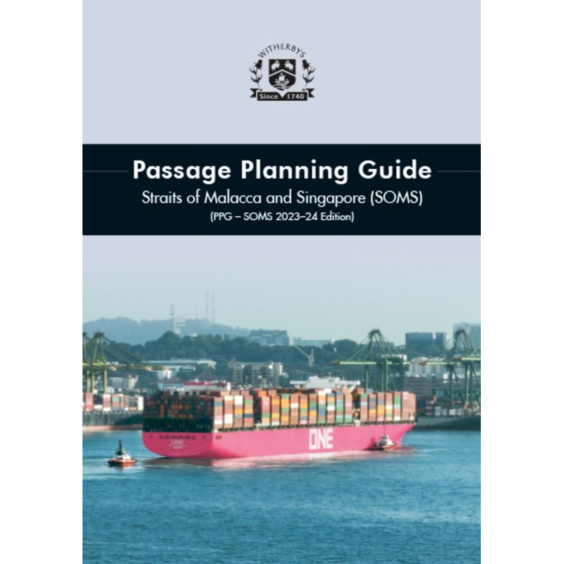



Plan transits through the Straits of Malacca and Singapore with precision. This guide offers updated navigation references, tidal data, and expert advice for safe and efficient voyages.
Data sheet
Specific References
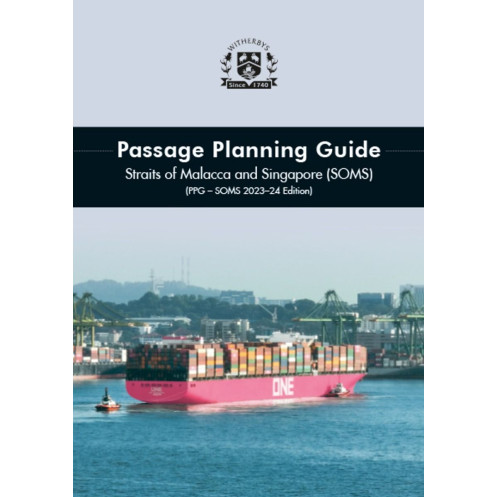
The Passage Planning Guide – Straits of Malacca and Singapore (SOMS) is a critical tool for masters and navigating officers tasked with transiting one of the world’s busiest and most strategically important waterways. This comprehensive guide delivers expert advice and practical insights to ensure safe, efficient, and compliant passage planning through the Straits of Malacca and Singapore, a region known for its high traffic density, complex navigational challenges, and stringent regulatory requirements.
Designed for vessels of all classes, this guide provides detailed, bidirectional navigation advice from One Fathom Bank (OFB) to Horsburgh Lighthouse. It includes an in-depth overview of navigational references for each segment of the route, ensuring officers can anticipate and mitigate risks effectively. The guide is structured to support the development of a robust passage plan, incorporating local elements unique to the Straits, such as high-vigilance zones, traffic separation schemes (TSS), vessel traffic services (VTS), and pilotage requirements.
The latest edition has been fully revised to reflect current best practices and regulatory updates, including input from Straits pilots, port authorities, local superintendents, and experienced captains. It integrates the most recent guidelines from the IMO Assembly resolutions, STRAITREP mandatory reporting procedures, and Port Marine Circulars (Singapore), ensuring compliance with international and local maritime regulations. Key updates include expanded high-vigilance zones, revised pilotage information for Singapore, and enhanced visual aids for critical transit segments.
This guide goes beyond theoretical advice by offering actionable tools for real-world navigation. Annotated charts for each transit segment highlight navigational aids, potential hazards, and safety-critical areas, accompanied by detailed guidance notes. The publication also addresses operational considerations such as crew manning levels, tug assistance, tidal currents, and communication protocols, providing a holistic approach to passage planning. Case studies of past groundings and collisions in the Straits offer valuable lessons to help officers avoid common pitfalls.
Recognizing the demands of life on the bridge, this guide is formatted for ease of use. Fold-out sections for key depth information during eastbound and westbound transits allow officers to quickly assess the entire passage at a glance. The layout ensures critical data is accessible, reducing the risk of oversight during high-pressure situations. Whether preparing for a transit or navigating in real-time, this guide serves as a trusted companion for maritime professionals.
Navigate the Straits of Malacca and Singapore with Confidence
The Passage Planning Guide – Straits of Malacca and Singapore (SOMS) is the definitive resource for maritime professionals responsible for transiting one of the world’s most critical and congested waterways. This guide equips masters and navigating officers with the knowledge and tools needed to plan and execute safe, compliant, and efficient passages through the Straits, a region where precision and preparedness are non-negotiable.
Expert-Backed Guidance for High-Stakes Navigation
Developed in collaboration with Straits pilots, port authorities, and experienced captains, this guide offers unparalleled insights into the unique challenges of the Straits of Malacca and Singapore. It covers bidirectional transit from One Fathom Bank (OFB) to Horsburgh Lighthouse, providing segment-specific navigational references, high-vigilance zones, and practical advice for managing traffic, tidal currents, and pilotage requirements. The guide is designed to support vessels of all classes, ensuring every transit is conducted with the highest standards of safety and compliance.
Fully Updated to Reflect Current Regulations and Best Practices
The latest edition incorporates the most recent industry standards, including IMO Assembly resolutions, STRAITREP mandatory reporting procedures, and Port Marine Circulars (Singapore). It features expanded high-vigilance zones, revised pilotage information, and enhanced visual aids to help officers navigate with confidence. The guide also includes case studies of past incidents, offering critical lessons to prevent groundings, collisions, and other navigational hazards.
Practical Tools for Real-World Application
Beyond theoretical advice, this guide provides actionable tools to support safe navigation. Annotated charts for each transit segment highlight navigational aids, hazards, and safety-critical areas, while detailed guidance notes offer additional context. Fold-out sections for key depth information during eastbound and westbound transits allow officers to quickly assess the entire passage, ensuring nothing is overlooked during high-pressure situations.
This essential navigation guide is presented in a durable paperback format, featuring 256 pages of expertly curated content. Measuring 300 mm in height and 220 mm in width, it is designed for easy reference on the bridge, with a weight of 1.5 kg for portability. The guide is published in English and reflects the latest industry standards as of the 2023-2024 edition.
The publisher behind this guide is a globally recognized authority in maritime publications, known for delivering high-quality, practical resources that support safe and efficient navigation. With a commitment to accuracy and usability, their publications are trusted by maritime professionals worldwide, ensuring compliance with international regulations and best practices.
The guide covers transit areas between One Fathom Bank (OFB) and Horsburgh, including detailed navigation references for each segment of the route in the Straits of Malacca and Singapore.
Yes, the guide highlights areas requiring high vigilance, including preventive measures and insights from local pilots familiar with challenging zones like Muda Selatan.
Yes, it provides updated details on pilotage services, including how to arrange pilots for Singapore, along with mandatory reporting procedures (STRAITREP).
The guide features annotated charts for each transit segment, illustrating navigation aids, potential hazards, and accompanying guidance notes for safe passage.
Yes, it includes information on tidal currents, traffic separation schemes (TSS), Vessel Traffic Services (VTS), and other critical factors for transit planning.
The guide measures 300 mm in height and 220 mm in width, with a total of 256 pages.
Yes, it is designed to assist officers navigating vessels of all classes through the Straits of Malacca and Singapore.
You might also like