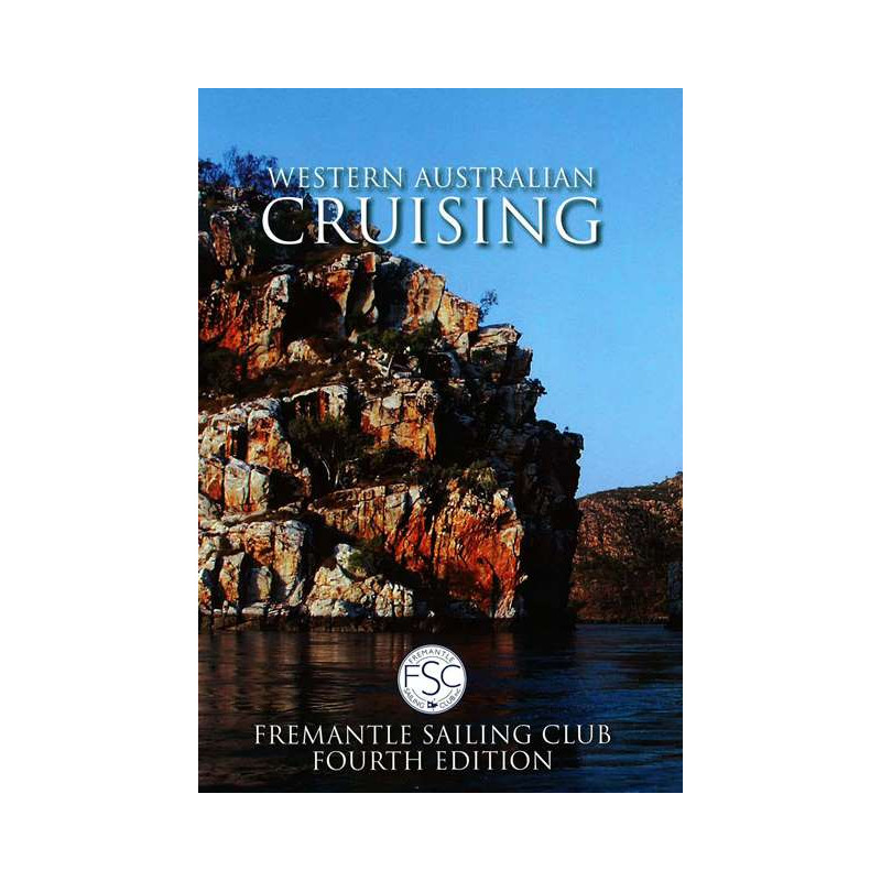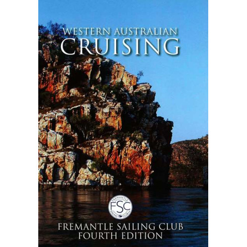



Spiral-bound cruising guide for Western Australia’s coastline, featuring 230 charts and expert tips. Covers Darwin to Port Lincoln with sailor-tested advice for safe, precise navigation.
Data sheet
Specific References
Explore the stunning and often remote coastline of Western Australia with confidence using this comprehensive cruising guide. Designed for recreational boaters, this spiral-bound reference is packed with practical insights, detailed charts, and firsthand experiences from seasoned sailors. Whether you're planning a short coastal trip or an extended voyage, this guide provides the critical information you need to navigate safely and efficiently.
This guide covers the vast and diverse coastline from Darwin to Port Lincoln, including key stops and hidden gems along the way. With over 300 pages of content, it offers in-depth coverage of anchorages, marinas, and coastal landmarks, ensuring you have the most up-to-date information at your fingertips. Recent editions have expanded to include even more detailed mapping and extended coverage, making it the most thorough resource available for this region.
Featuring a spiral binding, this guide lays flat for easy reference while on deck, allowing you to focus on navigation without the hassle of holding pages open. The inclusion of 230 chartlets provides visual clarity, helping you identify key navigational markers, hazards, and points of interest at a glance. High-quality photos and detailed descriptions enhance your understanding of each location, making it easier to plan your route and anticipate conditions.
What sets this guide apart is its reliance on the collective knowledge of sailors who have navigated these waters. Every detail, from safe anchorages to local regulations, is based on real-world feedback, ensuring accuracy and relevance. This makes it an invaluable tool for both novice and experienced boaters looking to explore Western Australia’s coastal waters with confidence.
With regular updates and expanded editions, this guide remains the most current resource for cruising in Western Australia. The latest versions include additional pages, refined charts, and new insights, reflecting the evolving conditions and infrastructure along the coast. Whether you're preparing for a weekend trip or a long-distance voyage, this guide ensures you have the most reliable information available.
Navigate Western Australia’s Coastline with Confidence
The Western Australia Cruising Guide is the definitive resource for boaters exploring one of the world’s most breathtaking and remote coastlines. This spiral-bound guide is meticulously crafted to provide everything you need for safe and enjoyable navigation, from Darwin to Port Lincoln. With 308 pages of detailed information, including 230 chartlets, high-resolution photos, and firsthand accounts from experienced sailors, this guide is an indispensable tool for any cruising enthusiast.
Comprehensive Coverage for Every Voyage
Whether you're planning a short coastal trip or an extended adventure, this guide offers unparalleled coverage of Western Australia’s waters. It includes essential details on anchorages, marinas, tidal patterns, and local regulations, ensuring you’re prepared for every aspect of your journey. The spiral binding allows for easy handling on deck, while the clear, concise layout makes it simple to find the information you need, when you need it.
Trusted by Sailors, Backed by Experience
This guide is more than just a collection of maps and coordinates—it’s a compilation of real-world insights from sailors who have navigated these waters. Every recommendation, from safe harbors to potential hazards, is based on firsthand experience, giving you the confidence to explore with peace of mind. Regularly updated editions ensure you have the latest information, making this guide a reliable companion for years to come.
This 4th edition of the Western Australia Cruising Guide features 308 pages of detailed content, including 230 chartlets for precise navigation. The spiral-bound paperback format ensures durability and ease of use, while the guide’s 1.6 kg weight makes it portable yet comprehensive. Published in February 2025, it covers the coastline from Darwin to Port Lincoln, with expanded coverage in recent editions.
With a reputation for producing high-quality nautical guides, this publisher is trusted by boaters worldwide. Their guides are known for their accuracy, practicality, and reliance on real-world feedback from experienced sailors, making them a go-to resource for safe and enjoyable navigation.
The guide covers the coastline from Darwin to Port Lincoln, extending to Eucla in recent editions, with detailed mapping and navigational information for these regions.
The 4th edition contains 308 pages, including charts, photos, and detailed navigational data.
Yes, digital versions are available, with the PDF file size around 70 MB and the ePub file size approximately 200 MB.
The guide features a spiral binding, making it practical for use on board while navigating.
Updates vary, but major revisions, such as the 5th edition (version 5.5), include significant expansions, with over 650 pages and 230 charts.
The printed guide weighs approximately 1.6 kg, making it sturdy yet manageable for onboard reference.
Yes, the guide includes 230 chartlets and numerous photos to assist with navigation and coastal identification.
You might also like