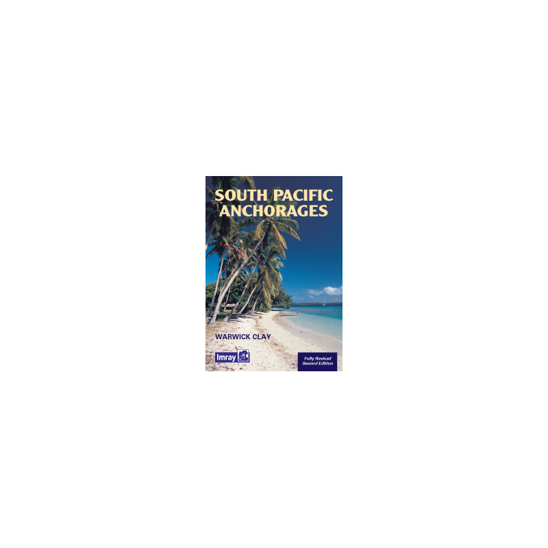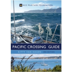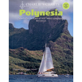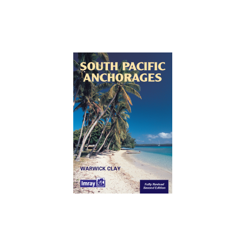




Navigate the South Pacific with confidence using this comprehensive guide to anchorages from New Guinea to Easter Island. Includes expert charts, local knowledge, and key details for every stop.
Data sheet
Specific References
Navigating the vast and remote waters of the South Pacific demands precision, local insight, and reliable guidance. This comprehensive cruising guide delivers exactly that, offering sailors an unparalleled resource for discovering safe harbors, hidden coves, and breathtaking anchorages across one of the world’s most coveted sailing destinations. Whether you're planning a long-distance voyage or exploring island by island, this guide ensures you have the most accurate and practical information at your fingertips.
Compiled by Warwick Clay, a seasoned sailor with firsthand experience in the region, this guide goes beyond basic charts to provide real-world insights into the challenges and rewards of South Pacific cruising. From the volcanic landscapes of the Galápagos to the tranquil lagoons of French Polynesia, each entry is based on direct exploration, ensuring you receive trustworthy advice on navigation, local conditions, and the best spots to drop anchor. The guide covers a vast expanse of the Pacific, from Papua New Guinea in the west to the coasts of South America in the east, including key waypoints like the Mariana Islands, Easter Island, and New Zealand.
Every anchorage in this guide is accompanied by meticulously sketched charts, drawn from the author’s own voyages. These charts highlight critical details such as depth, seabed composition, prevailing winds, and potential hazards, allowing you to approach each location with confidence. Whether you're seeking a sheltered bay for an overnight stop or a secluded paradise for an extended stay, you’ll find the information you need to make informed decisions. The guide also includes practical tips on local customs, provisioning, and weather patterns, ensuring you’re prepared for every aspect of your journey.
Now in its second edition, this guide has been a staple for cruisers since its first publication. Updated with the latest insights and refined through years of feedback from the sailing community, it remains one of the most respected references for South Pacific navigation. Its A4 paperback format makes it easy to store on board, while the 280 pages of detailed content ensure you’re never left without answers. Whether you're a seasoned bluewater sailor or embarking on your first Pacific adventure, this guide is an indispensable tool for safe, enjoyable, and unforgettable cruising.
Unlock the Secrets of the South Pacific with This Essential Cruising Guide
Planning a voyage across the South Pacific? This meticulously crafted guide is your key to navigating the region’s most stunning and secluded anchorages with confidence. Covering a vast area from Papua New Guinea to the coasts of South America, including the Mariana Islands, Galápagos, Easter Island, and New Zealand, this book provides sailors with the detailed, firsthand knowledge needed to explore one of the world’s most remote and rewarding sailing destinations. With 280 pages of expertly curated content, including sketched charts, local insights, and practical advice, it’s the ultimate companion for any Pacific adventure.
Designed for Sailors, by a Sailor
Written by Warwick Clay, a navigator with extensive experience in the South Pacific, this guide offers more than just coordinates—it delivers real-world wisdom. Each anchorage is described with precision, including depth, seabed conditions, wind exposure, and potential hazards, ensuring you can approach every location safely. The sketched charts, based on the author’s own voyages, provide a level of detail that standard nautical charts often lack, making this guide an invaluable tool for both planning and on-the-water decision-making.
Built to Withstand the Demands of Long-Distance Cruising
Weighing just 1080 grams, this A4 paperback guide is lightweight yet durable, designed to handle the rigors of life on board. Its 280 pages are packed with essential information, from navigation tips to local customs, ensuring you’re prepared for every aspect of your journey. Whether you’re seeking a sheltered bay for an overnight stop or a remote paradise for an extended stay, this guide provides the insights you need to make the most of your time in the South Pacific.
This second edition guide, published in 2001, features a softcover A4 format with 280 pages of detailed content, including sketched charts and practical navigation advice. Weighing 1080 grams, it’s designed for easy storage and durability on board. Written in English, it covers anchorages across the South Pacific, from Papua New Guinea to South America, with coordinates spanning latitudes from -47.36 to 20.22 and longitudes from -112.78 to 161.61.
With a legacy spanning over a century, this publisher is renowned for producing high-quality nautical guides and charts trusted by sailors worldwide. Their publications are crafted by experienced navigators, ensuring accuracy, practicality, and reliability for cruisers exploring both coastal and offshore waters. Each guide is designed to meet the demands of real-world sailing, making them indispensable tools for adventurers and seasoned mariners alike.
This guide covers anchorages in the South Pacific from the equator, including areas from New Guinea to South America, the Mariana Islands, Galapagos, Easter Island, and New Zealand.
Yes, the sketched charts included in the guide are based on the author’s firsthand sailing experience in the region.
The guide provides detailed information on ports and anchorages, including practical insights for safe mooring and navigation.
While the guide offers comprehensive anchorage details, it does not specify depth restrictions, so it’s best used alongside official nautical charts for large vessels.
This is the 2nd edition, published in 2001. While it contains valuable insights, some details may have changed, so cross-referencing with updated sources is recommended.
The guide is in A4 format with a softcover binding, making it easy to handle and store on board.
The guide provides latitude and longitude references for key locations, aiding in navigation and planning.
You might also like