




Data sheet
Specific References
French language book.
Cet ouvrage existe également en version française, anglaise, et allemande.
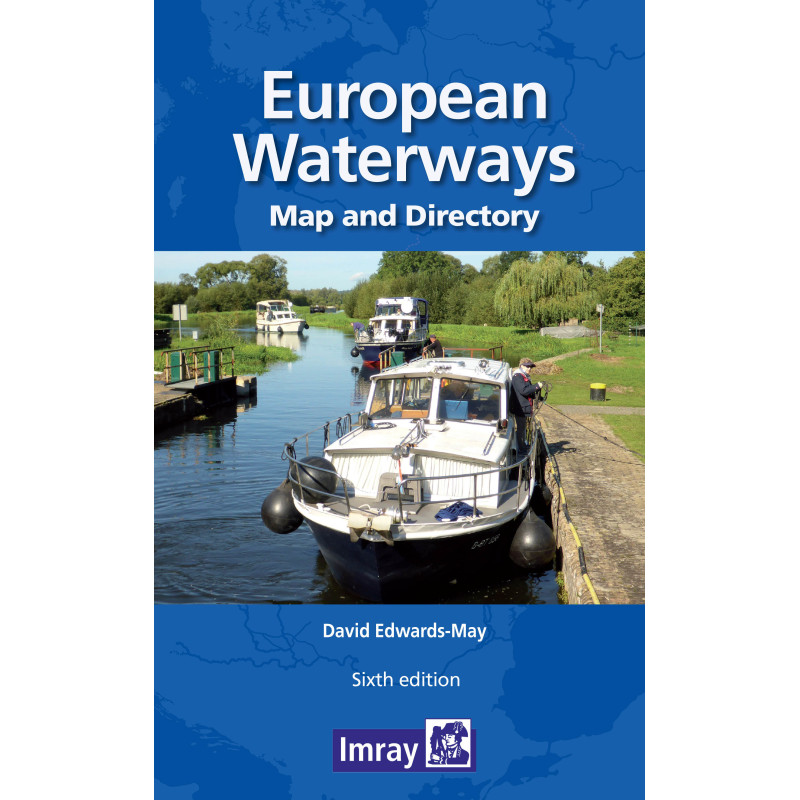
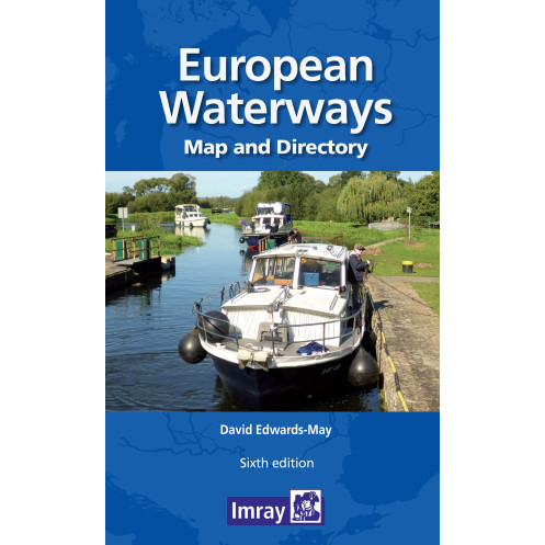
A map and directory designed as a first source of information when planning a trip on the waterways of Europe.
Double -sided. Side one- Europe from Ireland and Portugal to the Caspian Sea - dimensions 1210 x 870 mm. Scale 1:4 000 000- enlargement on reverse, with unprecedented detail, covering Dublin to Bratislava on the Danube scale 1:1 500 000. Includes a brief description of waterways in each country, followed by addresses of waterway authorities, boating associations etc.
The directory describes the waterway network country by country and provides a mass of information of value to all those who are interested in inland navigation as a mode of transport, but also, for a growing number of enthusiasts - a way of life. The two maps (front and back of the sheet) cover the same areas as the previous edition: from Ireland and Portugal to the Caspian Sea and, on the other side, a significantly enhanced map covering the denser part of the network, from Dublin to Bratislava on the Danube. The booklet accompanying the map includes many colour photos and larger-scale maps of particular areas.
The map has a legend in English, French, German and Dutch (booklet in English only)
Format: Folded 290 x 156mm
Part Number: INL0367
Edition: 2014
ISBN: 9791094429006
Publisher: Euromapping
Author: David Edwards-May
Format: Folded
You might also like