




Les guides
Éditions du Breil vous font découvrir le vaste réseau de voies navigables françaises.
Fiche technique
Références spécifiques
Livre en langue anglaise.
Ce live est épuisé en version française.
En version anglaise, nous pouvons fournir la traduction avec un pdf en français pour vous aider, et en version allemande avec un pdf en français pour vous aider.
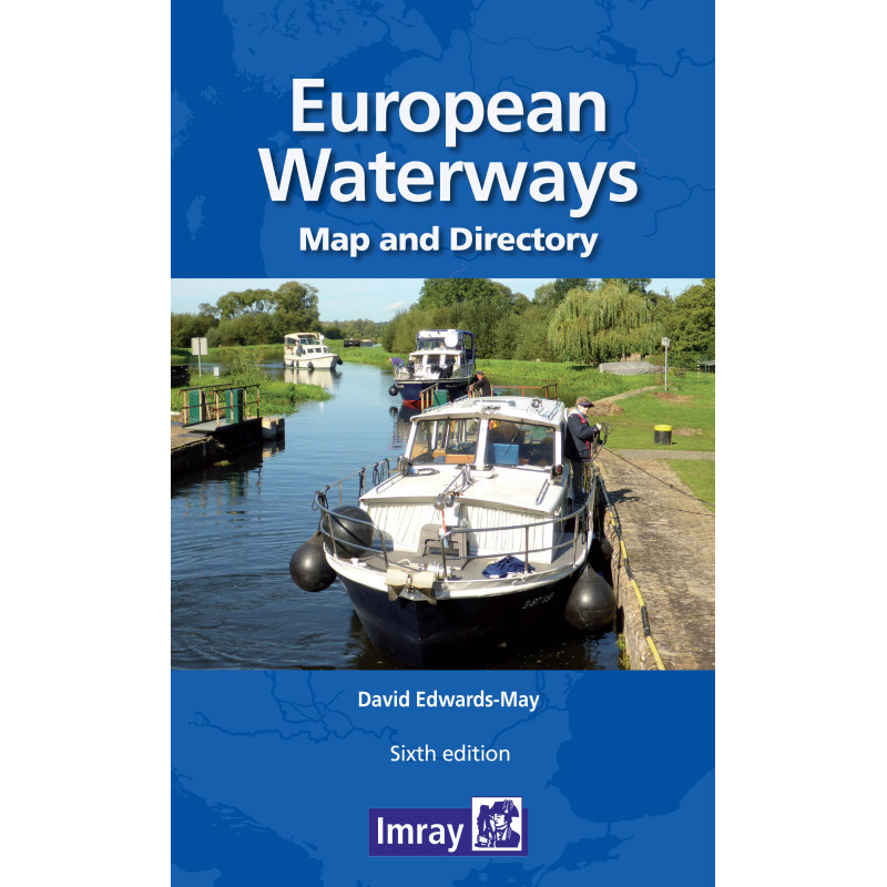
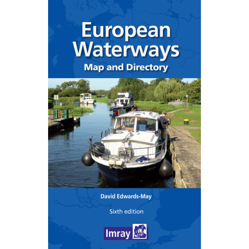
A map and directory designed'as a first source of information when planning a trip on the waterways of Europe.
Double -sided. Side one- Europe from Ireland and portugal to the Caspian Sea - dimensions 1210 x 870 mm. Scale 1:4 000 000- enlargement on reverse, with unprecedented détail, covering d'blin to Bratislava on the Danube scale 1:1 500 000. Includes a brief description of waterways in each country, followed by addresses of waterway authorities, boating associations etc.
The directory d'scribes the waterway network country by country and provides a mass of information of value to all those who are interested in inland navigation as a mode of transport, but also, for a growing number of enthusiasts - a way of life. The two maps (front and back of the s'eet) cover the same areas as the previous edition : from Ireland and portugal to the Caspian Sea and, on the other side, a significantly enhanced map covering the denser part of the network, from d'blin to Bratislava on the Danube. The booklet accompanying the map includes many colour photos and larger-scale maps of particular areas.
The map has a legend in English, French, German and d'tch (booklet in English only)
Format : Folded 290 x 156mm
Part Number: INL0367
Edition: 2014
ISBN: 9791094429006
Publisher: Euromapping
Author: David Ed'ards-May
Format: Folded
Vous aimerez aussi