I am looking for a vector nautical chart for routing software.
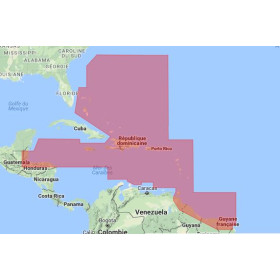
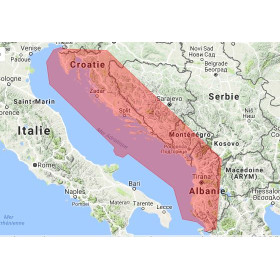
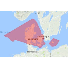
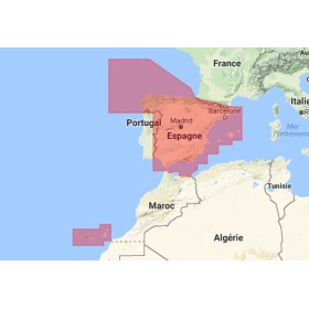
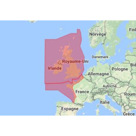
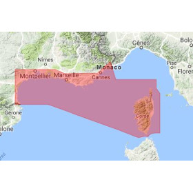
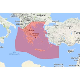
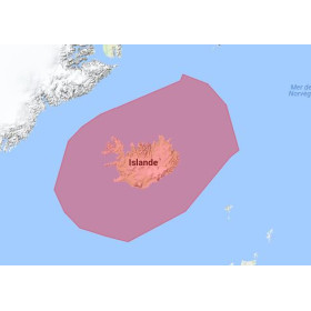
Are you looking for a vector marine chart for routing software and maritime route planning? Vector charts allow navigation and routing software to display depths, soundings, hazards, navigation aids, lights, wrecks, channels, ports and other hydrographic information required to plan a safe and efficient route. Depending on the software used, marine chart data may be available in different formats and supplied by hydrographic offices or specialist chart providers. Choosing a digital vector marine chart depends on the navigation area, geographical coverage, routing software, compatible chart format and update frequency. Vector marine charts are particularly useful for ocean passage planning, coastal routing, offshore navigation, sailing route planning and professional maritime navigation. Nautic Way can help you identify the marine chart data compatible with your routing software, navigation area and route planning requirements.

 Click here to open our interactive map and select your charts