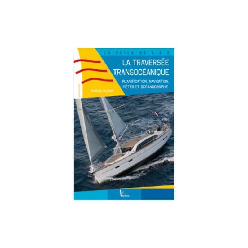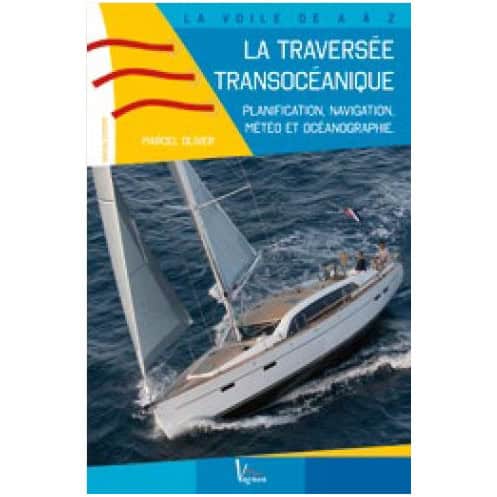



Planning an Atlantic crossing? This expert guide details navigation, weather, and celestial techniques like sextant use and astronomical positioning for a flawless voyage.
Data sheet
Specific References
Embark on your transatlantic adventure with confidence. This comprehensive guide is your ultimate companion for planning and executing a successful ocean crossing, tailored for experienced sailors seeking expert insights and practical techniques.
Whether you're preparing for your first Atlantic crossing or looking to refine your offshore navigation skills, this guide provides the complete toolkit for safe and successful ocean sailing. From celestial navigation to route optimization, every aspect of your transoceanic journey is covered with precision and clarity.
Unlock the secrets of successful transoceanic sailing
This definitive guide to Atlantic crossings transforms complex navigation challenges into manageable skills, offering experienced sailors the complete toolkit for safe and efficient ocean passages. Written by a seasoned offshore expert, it bridges the gap between theoretical knowledge and practical application, making it the only comprehensive French-language resource of its kind.
From planning to execution: the complete transatlantic playbook
Dive deep into every phase of your ocean crossing, starting with meticulous voyage planning and route optimization. Learn to interpret weather patterns and ocean currents like a professional navigator, then master the art of dead reckoning for precise position tracking far from coastal landmarks. The guide demystifies celestial navigation with clear, step-by-step instructions on using nautical ephemerides and sextants, while dedicated sections on meridian latitude and sun sight lines ensure you can pinpoint your location with confidence.
Proven strategies for Caribbean and South American routes
Benefit from battle-tested route planning specifically designed for popular transatlantic destinations. The guide provides detailed waypoint strategies for reaching the Caribbean islands and French Guiana, incorporating real-world insights about prevailing winds, current systems, and seasonal weather patterns. Each route is presented with multiple options to accommodate different vessel types and sailing preferences, from performance cruisers to bluewater catamarans.
Practical wisdom from an offshore authority
What sets this guide apart is its perfect balance of technical precision and hands-on advice. The author distills decades of ocean sailing experience into practical techniques that work at sea, from managing compass variations to calculating astronomical positions. The 158-page manual packs essential knowledge into a portable 16 x 24 cm format, making it equally valuable for pre-voyage planning and onboard reference during your crossing.
This comprehensive 158-page guide comes in a practical 16 x 24 cm paperback format, weighing just 0.302 kg for easy handling both at home and onboard. Published in January 2016, the 0.7 cm-thick volume features a durable softcover binding designed to withstand marine environments. The French-language edition presents complex navigation concepts through clear diagrams and step-by-step instructions, making advanced sailing techniques accessible to experienced mariners.
With decades of experience serving the maritime community, this publisher has established itself as a trusted authority in nautical publications. Specializing in practical guides for both recreational and professional sailors, their catalog covers everything from coastal cruising to offshore navigation, always combining technical expertise with real-world applicability. Their publications are widely recognized for their clear presentation of complex maritime concepts, making them essential references in both French and international sailing communities.
This guide is designed for experienced sailors planning an ocean crossing, as it covers advanced navigation techniques and detailed planning.
Yes, it provides detailed explanations on using a sextant, calculating latitude, and plotting astronomical positions, including practical examples.
Yes, it includes precise route plotting for crossings to the West Indies and French Guiana.
The book measures 16 x 24 cm, is 0.7 cm thick, and weighs 0.302 kg, making it portable for onboard use.
While navigation is the primary focus, it also covers meteorology, oceanography, and compass variation for safe transoceanic sailing.
Currently, the book is only available in French.
You might also like