
SnMap for Adrena - digital nautical chart - Italy Coasts
search
  • googlemap
  • SnMap for Adrena - digital nautical chart - Italy Coasts

Nautical chart SnMap for Adrena - Italy Coasts

€128.64
Tax included
Chart or book in digital version
Software and chart custom-programmed
Estimated preparation time: 2 to 5 days
Carte marine numérique SnMap - Côtes Italiennes
snmap/adre -135

Data sheet

What is the classification?
nautical chart
What type of nautical chart is this?
navigation chart
What is this nautical chart used for?
recreational
For what type of navigation is this chart suitable?
coastals
inshore
ocean planning
offshore
X This digital nautical chart is readable by?
routing software
Does this digital nautical chart only work with this software?
Adrena
Voici la traduction en anglais : Would you like to purchase a new digital nautical chart, or update your existing chart?
new chart
Which brand of chartplotter or navigation software can read this digital nautical chart?
Adrena
What is the compatibility of this vector nautical chart?
SnMap for software Adrena
On what digital medium is this nautical chart / book stored?
download
From which year does this nautical chart date?
Chart printed or programmed upon order, incorporating the latest updates
Picto
Chart or book in digital version

Specific References

UPC
400000123172
EAN13
4000000124825
New
Software and chart custom-programmed
Description détaillée

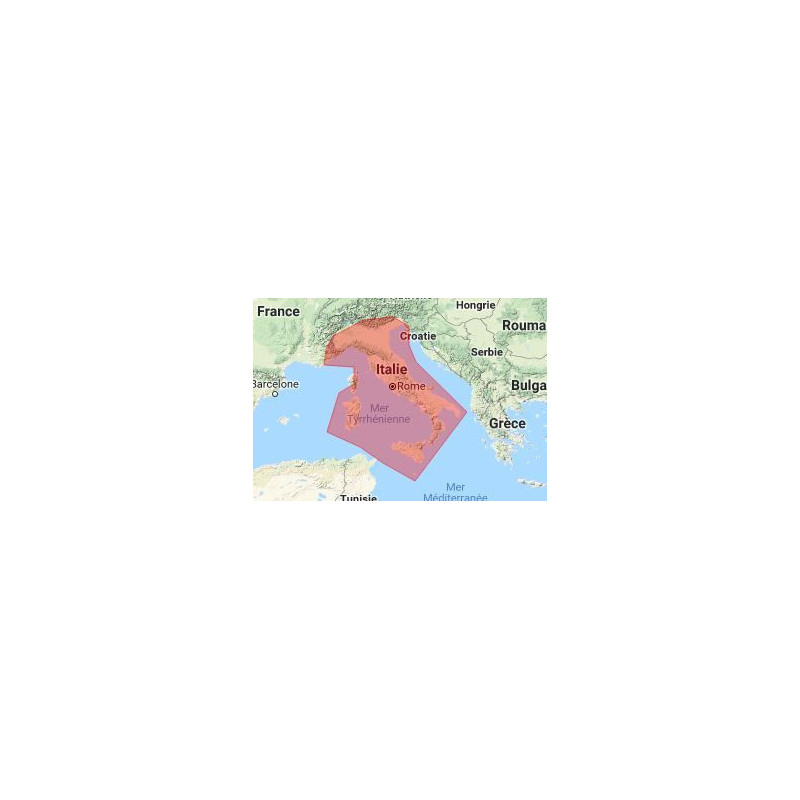
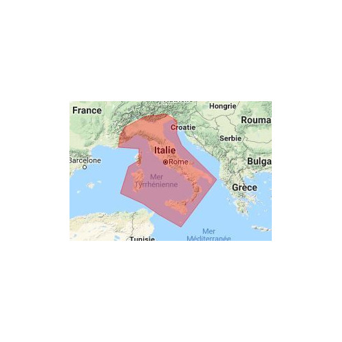
Cette carte marine SnMap est réservée exclusivement pour les logiciels Adrena, elle couvre : Côtes Italiennes. Ce pack de cartographie raster est issu des donnés du Service Hydrographique Italien, et mises à jour par la société Navimap.

Les cartes SnMap sont compatibles avec les logiciels ScanNav et ScanNav Compagnon (Androïd), ainsi qu'est réservée exclusivement pour les logiciels Adrena à partir de sa version 12.

Cette offre matricielle (image des cartes papier) est dérivée des données fournies par le SHOM, l'UKHO et luiI.M (service hydrographique Italien), par le biais de la société Navimap (mise à jour une fois par an).

Les cartes sont mises à jour 2 fois par an. Bien que le rendu soit similaire, il ne s'agit pas de cartes scannées mais des films d'impression, ce qui élimine les sources d'erreurs liées au scan, aussi minimes soient-elles, et facilite les mises à jour régulières.

Loading...