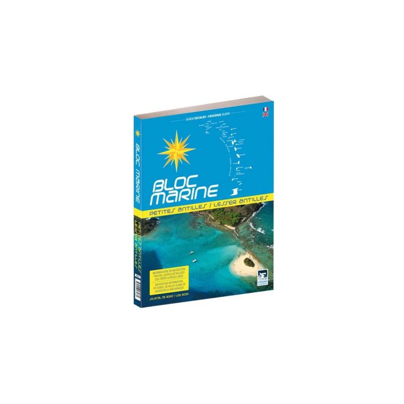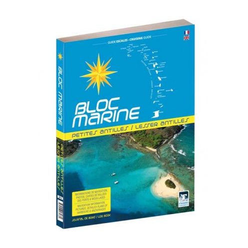





Your essential bilingual guide for sailing the Caribbean, from the Virgin Islands to Trinidad and Tobago. Packed with detailed charts, aerial photos, and practical tips for every port and anchorage.
Data sheet
Specific References
Navigate the turquoise waters of the Antilles and Caribbean with confidence using this comprehensive marine guide. Designed for sailors and adventurers, this bilingual (French and English) almanac is your ultimate resource for safe and enjoyable voyages from the Virgin Islands to Trinidad and Tobago. Packed with practical information, detailed charts, and stunning aerial photography, it transforms every stop into an unforgettable experience.
This guide leaves no stone unturned when it comes to navigation. Each port and anchorage is meticulously documented with essential details, including approach instructions, mooring options, and local regulations. High-resolution aerial photos provide a bird’s-eye view, helping you assess conditions and plan your route with accuracy. Whether you’re docking in a bustling marina or dropping anchor in a secluded cove, you’ll have the insights needed to make informed decisions.
More than just a pilot book, this almanac doubles as a travel guide. Explore the region’s hidden gems with dedicated tourism sections for each navigation zone. Discover the best local restaurants, cultural landmarks, and must-see attractions, all curated to enhance your sailing adventure. The included cartographic atlas offers a macro view of the area, while practical tips on weather patterns, tides, and local customs ensure you’re always prepared.
Tailored to the needs of recreational sailors, this guide addresses the unique challenges of cruising the Caribbean. From customs procedures to emergency contacts, it covers the logistical aspects of sailing in foreign waters. The durable, lightweight design makes it easy to handle on deck, while the bilingual format ensures accessibility for international crews. Whether you’re a seasoned sailor or embarking on your first Caribbean voyage, this almanac is an indispensable tool for smooth and stress-free navigation.
While this 2017 edition remains a trusted resource, it’s designed to complement your modern navigation tools. Use it alongside GPS and digital charts to cross-reference data and gain a deeper understanding of your surroundings. The combination of timeless sailing wisdom and contemporary insights makes this guide a valuable addition to any sailor’s library.
Unlock the Secrets of the Caribbean with the Ultimate Sailing Guide
Set sail for the Antilles and Caribbean with the most trusted marine guide for this iconic region. This bilingual (French and English) almanac is your all-in-one resource for navigating the waters from the Virgin Islands to Trinidad and Tobago. Whether you're planning a short coastal hop or a long-distance cruise, this guide provides everything you need to make your voyage safe, efficient, and unforgettable. With detailed port information, aerial photography, and practical tips, it’s the companion every sailor needs for exploring the Caribbean’s stunning archipelagos.
Precision Navigation Made Simple
This guide is packed with essential data to help you navigate with confidence. Each port and anchorage is meticulously documented, offering clear instructions on approaches, mooring options, and local regulations. High-resolution aerial photos give you a bird’s-eye view of your destination, allowing you to assess conditions before arrival. The included cartographic atlas provides a broader perspective, while tourism sections highlight the best each island has to offer—from hidden beaches to vibrant local culture. No matter where your journey takes you, this guide ensures you’re always prepared.
Designed for Sailors, by Experts
Created with the needs of recreational sailors in mind, this almanac goes beyond basic navigation. It includes practical advice on weather patterns, tides, and local customs, as well as essential documents for cruising in foreign waters. The lightweight yet durable design makes it easy to use on deck, while the bilingual format ensures accessibility for international crews. Whether you’re a seasoned sailor or new to the Caribbean, this guide is your key to a seamless and enjoyable voyage.
This 2017 printed edition of the marine guide covers the Antilles and Caribbean, spanning latitudes from 9.8°N to 19.1°N and longitudes from 65.9°W to 60.3°W. Weighing 1.2 kg, it includes bilingual (French and English) content, detailed port plans, aerial photography, a cartographic atlas, and tourism sections for each navigation zone. The guide is designed for recreational sailors and provides essential information for safe and enjoyable voyages.
With decades of expertise in marine publishing, this publisher is a trusted name among sailors worldwide. Specializing in comprehensive guides and almanacs, their publications are renowned for their accuracy, practicality, and attention to detail. Designed by sailors for sailors, their resources are essential tools for navigating some of the world’s most beloved cruising destinations.
This guide is fully bilingual, available in both English and French, covering all nautical information and practical details.
The book weighs 1.2 kg, making it portable enough for onboard use while ensuring durability.
Yes, it features an atlas with cartographic details and aerial photos for precise navigation and planning in the Antilles and Caribbean areas.
Absolutely, each port and anchorage includes practical information, detailed plans, and aerial photos to assist with navigation and decision-making.
The guide covers the Lesser Antilles and the Caribbean, from the Virgin Islands to Trinidad and Tobago, including key islands like Guadeloupe, Martinique, and Barbados.
Yes, it includes tourism fact sheets for each navigation zone, providing insights for both navigation and exploration during stops.
Yes, it includes essential documents and information tailored specifically for recreational boating and navigation in the covered regions.
You might also like