Coastal Almanac
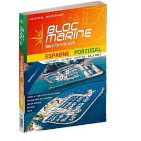
A coastal almanac is practical nautical documentation for planning coastal navigation, organizing a cruise and anticipating useful information for stopovers. Depending on the edition, it provides information on tides, currents, ports, anchorages, navigation marks, opening hours, port services and local features of the sailing areas covered. It can support sailors navigating in the English Channel, North Sea, Iroise Sea, Bay of Biscay, Mediterranean Sea or along the Atlantic Ocean coastline, with ports such as Dunkirk, Cherbourg, Saint-Malo, Brest, La Rochelle, Bordeaux, Marseille, Toulon or Ajaccio. For accurate coastal route planning, a coastal almanac complements paper and digital nautical charts from Shom, Admiralty, Imray or NV Charts, as well as sailing guides and pilot books. Whether sailing or motor cruising, this documentation helps plan stopovers, check tide times, identify port approaches and organize navigation according to local conditions. It is a useful complement to nautical charts when preparing a coastal cruise.

 Click here to open our interactive map and select your charts