



Plan your Mediterranean and Atlantic voyages with confidence using this 2025-2026 almanac, featuring updated port data, weather sources, and detailed Imray charts for clarity and precision.
Data sheet
Specific References
Navigate the Mediterranean and Atlantic Islands with Confidence
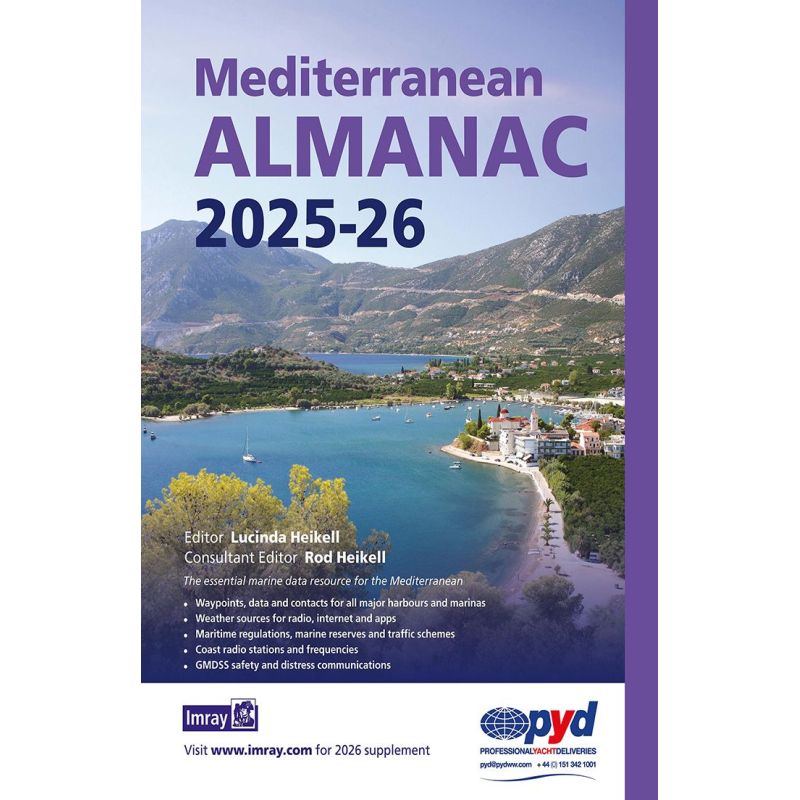
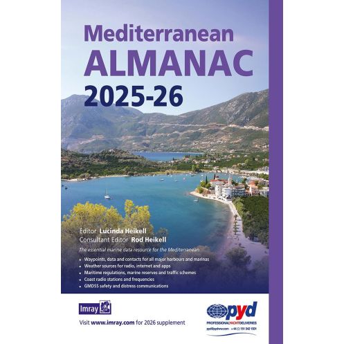
This 2025-2026 Mediterranean almanac is the ultimate reference for sailors exploring the Mediterranean Sea and Atlantic islands. Published every two years, it provides a wealth of updated marine data, including waypoints, port contacts, and navigational aids for every major harbor in the region. A downloadable supplement at the end of the first year ensures your information stays current, while detailed harbor plans—featuring familiar cartography—offer unmatched clarity for safe and efficient navigation.
Stay Ahead with Real-Time Weather and Safety Resources
Access a curated selection of weather sources, from radio broadcasts to online platforms and mobile apps, to stay informed about changing conditions. The almanac also includes critical safety information, such as coastal radio frequencies, GMDSS distress protocols, and maritime regulations, ensuring you’re prepared for any situation. With coverage of traffic separation schemes and marine reserves, this guide helps you navigate responsibly while minimizing risks.
Built for Sailors, by Sailors
Authored by experienced cruisers Lucinda and Rod Heikell, this 14th edition reflects the latest updates in the region’s maritime landscape. Its paperback format (250 x 210 mm) and lightweight design (1440 g) make it easy to store on board, while the biennial publication cycle ensures you always have the most relevant data for your voyages in 2025 and 2026. Whether you're a seasoned sailor or a first-time cruiser, this almanac is an indispensable tool for safe and enjoyable passages.
This 2025-2026 Mediterranean almanac is a paperback edition, measuring 250 x 210 mm and weighing 1440 g. It covers the Mediterranean Sea and Atlantic islands, with detailed harbor plans, waypoints, and navigational data. Published biennially, it includes a downloadable supplement for updates at the end of the first year. The 14th edition is authored by Lucinda and Rod Heikell and is written entirely in English.
With decades of experience in maritime publishing, this publisher is renowned for producing high-quality nautical guides and almanacs. Their publications are trusted by sailors worldwide for their accuracy, reliability, and practical insights, making them a go-to resource for safe and informed navigation.
The almanac also includes the Atlantic Islands, providing comprehensive marine data for these regions.
A new edition is published every two years, with a downloadable supplement available at the end of the first year for updates.
Yes, it features detailed port plans with familiar Imray cartography for clarity, including many new plans in this edition.
It includes sources for radio, internet, and app-based weather forecasts relevant to the covered regions.
Yes, it covers GMDSS safety and distress communications, along with coastal radio stations and frequencies.
The almanac measures 250 x 210 mm and weighs 1440 grams, making it portable yet comprehensive.
No, this edition is only available in a paperback format, with updates provided via a downloadable supplement.
You might also like