



Plan voyages with precision using these comprehensive marine distance tables. Covers 500 ports worldwide, featuring traffic separation schemes, waypoints, and time conversions for optimal routing.
Data sheet
Specific References
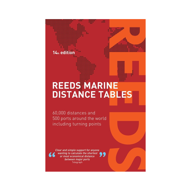
Planning a voyage across oceans or coastal waters demands precision, and the Reeds Marine Distance Tables deliver just that. Designed for captains, navigators, and vessel operators, this trusted reference provides instant access to accurate distance calculations between the world’s major commercial ports. Whether you're charting a transatlantic route or navigating regional waters, these tables eliminate guesswork, ensuring efficient voyage planning with confidence.
Organized by key market zones, this almanac covers over 500 ports worldwide, offering more than 60,000 distance combinations. From bustling trade hubs to remote harbors, the tables streamline route optimization, helping you determine the shortest or most fuel-efficient paths. A fold-out map aids in quick zone identification, while integrated traffic separation schemes and major waypoints—such as Cape Finisterre, Cape Horn, and the Dover Strait—provide critical context for safe and compliant navigation.
Beyond distances, the almanac includes essential tools like global time zones and time-speed conversion tables, making it a versatile resource for both commercial and leisure vessels. The 19th edition has been fully revised to reflect the latest maritime data, ensuring reliability for shipowners, brokers, and navigators. Whether you're managing a superyacht or a cargo vessel, this paperback edition is built to withstand the demands of life at sea, with durable pages and clear, easy-to-read layouts.
Unlike digital tools that rely on batteries or connectivity, the Reeds Marine Distance Tables offer unmatched dependability. Its 240 pages of meticulously curated data are always at your fingertips, whether you're in port or offshore. The inclusion of transatlantic distances and regional waypoints further enhances its utility, making it a must-have for anyone serious about maritime navigation. Compact yet comprehensive, it’s the kind of resource that earns its place on every navigator’s shelf.
Plan Smarter Voyages with Unmatched Accuracy
When every nautical mile counts, the Reeds Marine Distance Tables provide the precision you need to optimize routes, reduce fuel costs, and save time. This 19th edition is the gold standard for distance calculations, trusted by professional mariners and recreational sailors alike. With data spanning 500 ports and 60,000 distance combinations, it’s the most comprehensive tool of its kind, designed to simplify even the most complex voyage planning.
Built for Real-World Navigation Challenges
Navigating busy shipping lanes or remote waters requires more than just distance data—it demands context. This almanac includes critical waypoints like traffic separation schemes and major capes, ensuring your route adheres to maritime regulations. The fold-out zone map allows for quick reference, while time zone and speed conversion tables eliminate the need for additional tools. Whether you're plotting a course across the Atlantic or a coastal passage, this resource delivers the clarity and confidence you need.
Durable, Reliable, and Always Ready
In an era of digital dependency, the Reeds Marine Distance Tables offer a fail-safe solution. Printed in a sturdy paperback format, it’s designed to withstand the rigors of life at sea, from damp chart tables to rough weather. The 240 pages are packed with clear, easy-to-read data, ensuring you can access critical information at a glance. No batteries, no signal—just reliable navigation support, wherever your journey takes you.
Trusted by Professionals for Over a Century
For generations, mariners have relied on this almanac to make informed decisions. Its 19th edition continues that legacy, with updates that reflect the latest maritime data and industry standards. Whether you're a shipowner calculating operational costs, a broker assessing voyage feasibility, or a navigator fine-tuning a route, this is the tool that delivers results. Compact enough to store in a chart bag yet comprehensive enough to cover the globe, it’s an indispensable asset for any vessel.
The Reeds Marine Distance Tables combine practicality and precision in a 9 x 6-inch paperback format, featuring 240 pages of meticulously organized data. Weighing 2.2 kg, this 19th edition includes over 60,000 distance calculations between 500 global ports, alongside integrated traffic separation schemes, major waypoints, and a fold-out zone map. Published in 2022, it also provides time zone references and speed conversion tables for comprehensive voyage planning.
For decades, this imprint has been synonymous with maritime excellence, producing authoritative guides and references for professional and recreational navigators. Their publications are crafted by industry experts, ensuring accuracy and reliability for sailors worldwide. With a focus on practical, real-world applications, their almanacs and manuals are trusted by mariners to deliver critical information when it matters most.
The tables include distances for 500 major ports worldwide.
Yes, they include transatlantic distances as well as key turning points like Cape Finisterre and Cape Horn.
The book measures 9 x 6 inches, making it portable for onboard use.
Yes, it integrates traffic separation schemes for safer navigation planning.
Yes, it provides tables for converting time and speed, along with global time zones.
This is the 19th edition, fully revised and published in 2022.
Yes, it includes a fold-out map for easy identification of key market zones.
You might also like