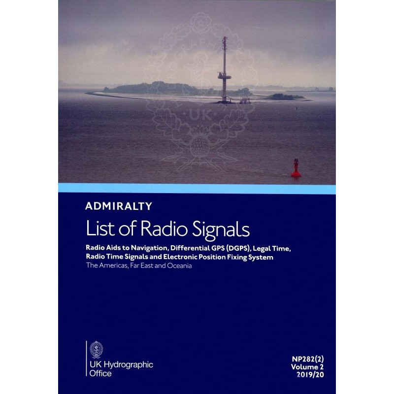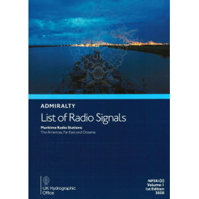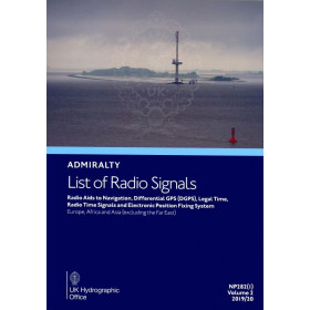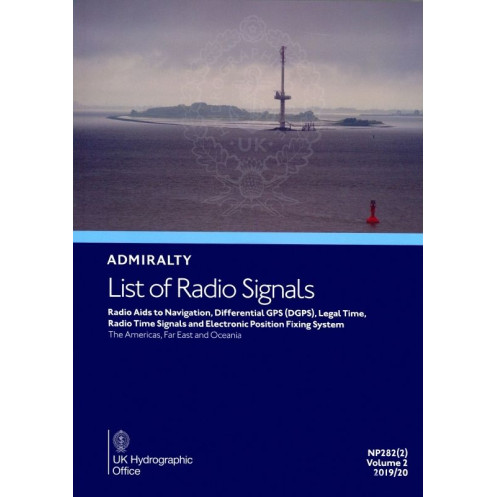


Admiralty - NP282(2) - List of Radio Signals Volume 2 - Part 2, Radio Aids to Navigation, Differential GPS (DGPS), Legal Time, R
search
  • googlemap
  • Admiralty - NP282(2) - List of Radio Signals Volume 2 - Part 2, Radio Aids to Navigation, Differential GPS (DGPS), Legal Time, R

Admiralty - NP282(2) - List of Radio Signals Volume 2 - Part 2, Radio Aids to Navigation, Differential GPS (DGPS), Legal Time, R

€127.05
Tax included
Admiralty - United Kingdom Hydrographic Office
In English language
Estimated preparation time: 5 to 14 days

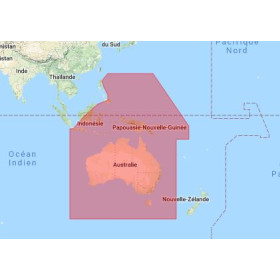
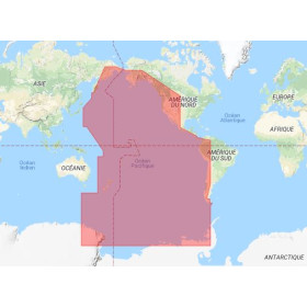
Stay updated with critical maritime data: radio navigation aids, DGPS corrections, legal time, and electronic positioning systems. Trusted coverage for the Americas, Far East, and Oceania.

NP282(2)

Data sheet

Who is the publisher or the author?
Admiralty
On what digital medium is this nautical chart / book stored?
paper medium
From which year does this nautical chart date?
2017 / 2018
What type of navigation book is this?
radio signal guide
What is the size?
paper medium
Picto
In English language

Specific References

UPC
400000129761
EAN13
4000000108160
New
Description détaillée

List of Radio Signals Volume 2 – Part 2, Radio Aids to Navigation, Differential GPS (DGPS), Legal Time

Publication in English
Paperback edition

Your Essential Guide to Global Radio Navigation Aids

Navigate with confidence using this comprehensive reference for maritime professionals. This authoritative publication delivers up-to-date, critical information on radio aids to navigation, Differential GPS (DGPS), legal time standards, and electronic positioning systems. Designed for commercial mariners, this volume ensures compliance with international maritime regulations while providing the precise data needed for safe and efficient voyages across the Americas, Far East, and Oceania.

Worldwide Coverage for Professional Mariners

  • Detailed listings of VHF direction-finding stations for accurate positioning
  • Global directory of radar beacons (Racons and Ramarks) for enhanced situational awareness
  • Comprehensive AIS Aids to Navigation (AtoN) database for real-time vessel tracking
  • Extensive DGPS correction beacon information for meter-level positioning accuracy
  • International time standards and daylight saving time regulations for synchronized operations
  • Complete details on radio time signal broadcasts for precise chronometry
  • Electronic positioning system specifications for modern navigation integration

Engineered for Maritime Operations

This professional-grade reference is meticulously organized for rapid access to critical navigation data. The publication's structured format allows mariners to quickly locate regional information, technical specifications, and operational parameters for radio navigation systems worldwide. Whether planning transoceanic routes or coastal passages, this volume provides the verified data required for safe and compliant navigation in all covered regions.

Trusted Resource for Commercial Shipping

As an essential component of the ADMIRALTY List of Radio Signals series, this publication maintains the highest standards of accuracy and reliability. The 2026 edition incorporates the latest updates to radio navigation infrastructure, satellite positioning systems, and international timekeeping protocols. With its extensive coverage of the Americas, Far East, and Oceania, this volume serves as an indispensable tool for vessels operating in these critical maritime regions.

Professional-Grade Navigation Reference

  • Verified data from official hydrographic sources
  • Regularly updated to reflect changes in navigation infrastructure
  • Comprehensive coverage of both traditional and modern navigation systems
  • Designed for integration with electronic charting systems
  • Essential for compliance with SOLAS and other maritime regulations
  • Trusted by commercial shipping companies worldwide

Precision Navigation Data for Professional Mariners
This authoritative reference delivers mission-critical information for safe and compliant maritime operations across the Americas, Far East, and Oceania. The 2026 edition of Volume 2 – Part 2 provides verified data on radio navigation aids, Differential GPS systems, and international time standards, ensuring vessels maintain accurate positioning and synchronization throughout their voyages.

Comprehensive Radio Navigation Infrastructure
Featuring detailed listings of over 1,500 navigation aids, this volume includes VHF direction-finding stations, radar beacons (Racons and Ramarks), and operational AIS Aids to Navigation (AtoN). Mariners gain access to precise technical specifications for each system, including frequency ranges, signal characteristics, and operational parameters, enabling optimal use of available navigation resources in all covered regions.

Advanced Positioning and Timing Solutions
The publication provides an extensive directory of DGPS correction beacons, delivering meter-level positioning accuracy for critical maritime operations. Complete with international time standards, daylight saving time regulations, and radio time signal broadcast details, this volume ensures vessels maintain precise chronometry and synchronization for coordinated global operations.

Professional-Grade Reference for Maritime Operations
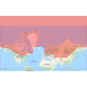
Weighing 1.9 kg and presented in a durable paperback format, this 2026 edition is engineered for use in both bridge environments and navigation planning offices. The publication's structured organization allows for rapid access to regional data, with coverage spanning latitudes from -60° to 80° and longitudes from -170° to 150°, encompassing major shipping routes and commercial ports across three continents.

This seventh edition (2026) reference publication provides comprehensive coverage of radio navigation aids, DGPS systems, and time standards in a 1.9 kg paperback format. The volume delivers verified data for maritime regions spanning latitudes -60° to 80° and longitudes -170° to 150°, including the Americas, Far East, and Oceania, with detailed listings of over 1,500 navigation systems and timekeeping protocols.

For over two centuries, this hydrographic office has set the global standard for maritime navigation publications. As the official producer of nautical charts and navigation references for international shipping, their publications are developed using verified data from maritime authorities worldwide, ensuring mariners have access to the most accurate and up-to-date navigation information available.

  • This professional navigation reference delivers verified, up-to-date data on radio aids to navigation, DGPS systems, and international time standards, ensuring compliance with maritime regulations. The publication's comprehensive coverage of the Americas, Far East, and Oceania provides mariners with essential information for safe and efficient voyages, while its structured format allows for rapid access to critical navigation data during operations.
  • The volume's integration of traditional radio navigation systems with modern electronic positioning technologies offers a complete solution for vessels operating in diverse maritime environments. Regular updates to the publication ensure mariners have access to the latest changes in navigation infrastructure, maintaining operational safety and efficiency across global shipping routes.
What regions are covered in this volume?

This volume covers the Americas, Far East, and Oceania, providing detailed information on radio aids to navigation, DGPS, and other critical maritime data for these areas.

Does this publication include information on AIS aids to navigation?

Yes, it includes a worldwide list of operational AIS aids to navigation (AtoN), along with details on their locations and functions.

What is the weight of this paperback edition?

The paperback edition weighs approximately 1.9 kg, making it suitable for both onboard and office use.

Are international time standards and daylight saving time included?

Yes, the publication provides details on international time standards, daylight saving time, and legal time broadcasts for maritime reference.

Does this volume list radiobeacons providing DGPS corrections?

Yes, it includes a comprehensive list of radiobeacons that transmit DGPS corrections, along with their operational frequencies and coverage areas.

What edition and year does this volume correspond to?

This is the seventh edition, published for the 2026 nautical year, with data applicable to the 2017/2018 period.

Are VHF direction-finding stations included in this publication?

Yes, it contains a detailed list of VHF direction-finding stations, along with their operational parameters and geographic coordinates.

Loading...