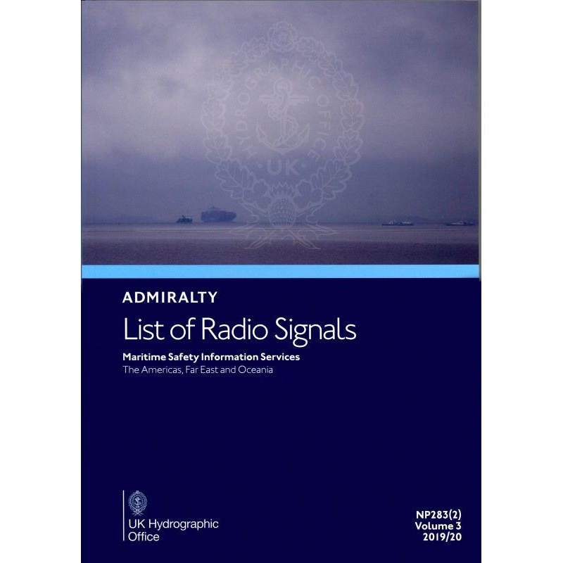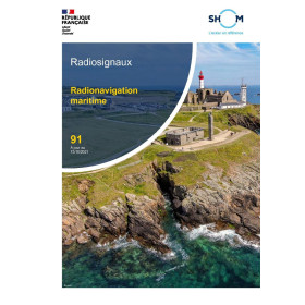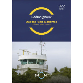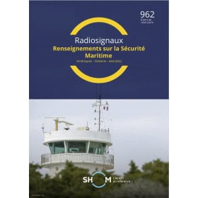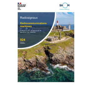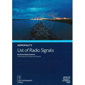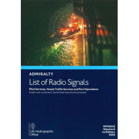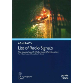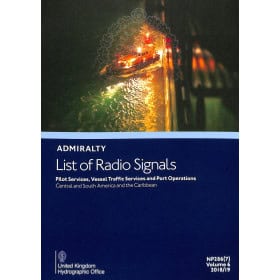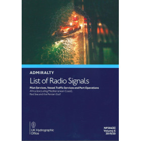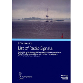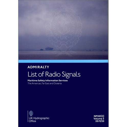




Ensure GMDSS compliance with this guide to Maritime Safety Information. Covers the Americas, Far East, and Oceania, featuring weather updates, NAVTEX, SafetyNET, and key safety contacts.
Data sheet
Specific References
Navigate with Confidence Using the Definitive Maritime Safety Resource
This authoritative guide is the cornerstone of maritime safety communications for vessels operating in the Americas, Far East, and Oceania. Designed for commercial mariners, naval fleets, and maritime authorities, it consolidates critical radio signal data into a single, easy-to-navigate volume, ensuring compliance with GMDSS standards and enhancing operational safety in some of the world’s most trafficked and remote waters.
Comprehensive Regional Coverage for High-Stakes Navigation
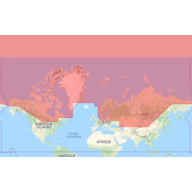
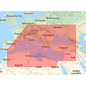
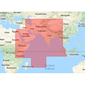
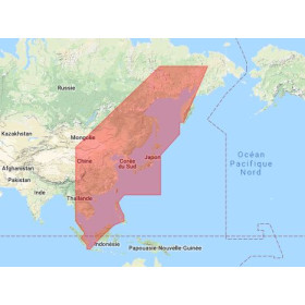
Covering latitudes from -60° to 80° and longitudes from -170° to 150°, this volume provides unparalleled detail on maritime safety information (MSI) services across diverse regions. From the bustling shipping lanes of the Pacific to the isolated waters of the Arctic, it includes precise data on NAVTEX and SafetyNET broadcasts, weather facsimile stations, and satellite communication channels, ensuring vessels receive real-time alerts and updates tailored to their location.
Critical Data for Emergency and Routine Operations
Beyond standard safety broadcasts, this guide delivers essential information for high-risk scenarios, including submarine and artillery warning systems (Subfacts and Gunfacts) to avoid hazardous military zones. It also features detailed listings for medical teleconsultation services (TMAS), anti-piracy reporting contacts, and pollution control procedures, making it an indispensable tool for both routine and emergency operations.
Designed for Professional Use in Demanding Environments
Published in a durable paperback format, this volume is built to withstand the rigors of onboard use. Its clear, color-coded diagrams and photographs simplify complex data, allowing crews to access critical information quickly and accurately. With annual updates and revisions via Notices to Mariners, it ensures that mariners always have the most current and reliable data at their fingertips.
Trusted by Industry Leaders for Over a Century
As part of a globally recognized series, this publication is trusted by maritime professionals worldwide. Its structured, region-specific approach ensures that vessels can navigate safely and efficiently, whether in congested ports or remote oceanic routes. By integrating this guide into your operations, you’re not just meeting regulatory requirements—you’re prioritizing the safety and efficiency of your crew and vessel.
This 6th edition (2025) of the *List of Radio Signals Volume 3 – Part 2* is a paperback reference weighing 1.9 kg, published in English. It covers maritime safety information services across the Americas, Far East, and Oceania, with geographic coordinates spanning latitudes -60° to 80° and longitudes -170° to 150°. Released in December 2025, this volume is updated annually, with the next edition expected in December 2026, ensuring compliance with the latest GMDSS standards.
With a legacy spanning over two centuries, this series is the gold standard for maritime navigation and safety publications. Developed by a leading hydrographic authority, it provides mariners with accurate, up-to-date data critical for safe and efficient operations worldwide. Trusted by commercial fleets, naval forces, and maritime agencies, these guides are essential tools for navigating the complexities of modern maritime environments.
This volume covers Maritime Safety Information Services for the Americas, Far East, and Oceania regions.
Yes, it provides details on radio-facsimile stations, including their frequencies and weather chart coverage areas.
Yes, it includes comprehensive information on global NAVTEX and SafetyNET services for maritime safety.
The guide is published annually and updated via Notices to Mariners throughout the year.
The paper version weighs approximately 1.9 kg.
Yes, it covers Telemedical Maritime Assistance Services (TMAS) for maritime medical support.
The next edition is scheduled for release in December 2026.
You might also like