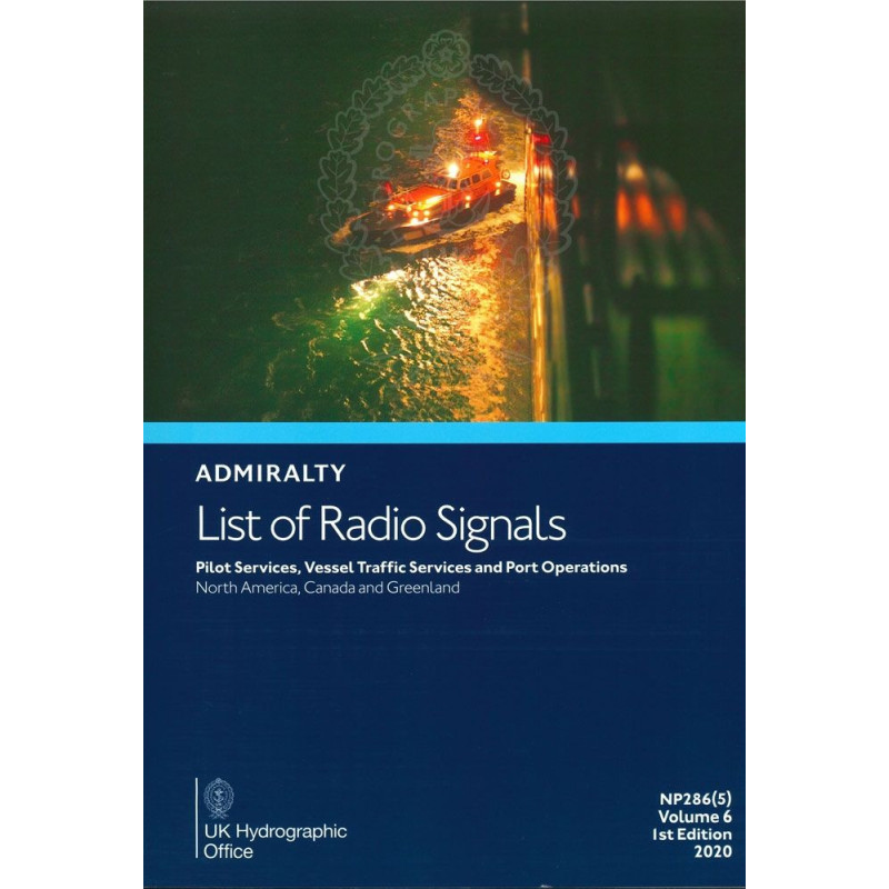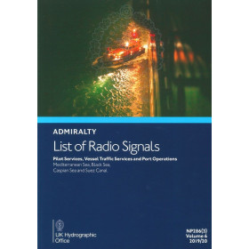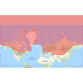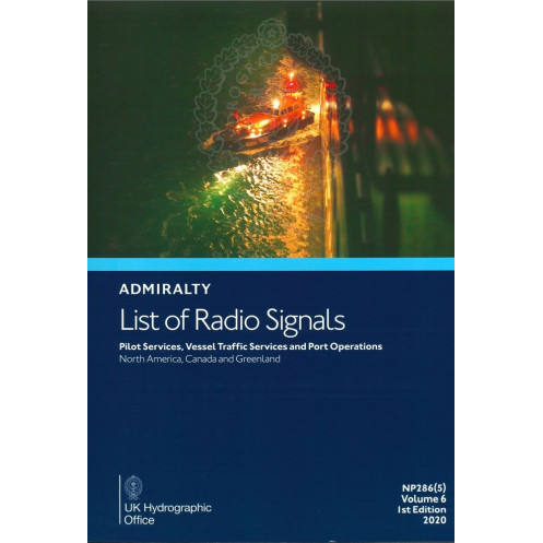




This A4 guide covers pilot services, VTS, and port operations in North America, Canada, and the Americas. Includes 300+ color diagrams for precise navigation and compliance.
Data sheet
Specific References
Navigate the complex waters of North America, Canada, Greenland, and the Americas with confidence. This comprehensive guide delivers critical, up-to-date information on pilot services, vessel traffic services (VTS), and port operations, ensuring compliance and operational efficiency for maritime professionals.
This guide is tailored for commercial mariners, port authorities, shipping companies, and maritime service providers. Whether you're navigating the icy waters of the Arctic or the busy shipping lanes of the U.S. East Coast, this publication provides the data you need to ensure safety, compliance, and operational excellence.
In the maritime industry, safety and compliance are non-negotiable. This guide helps you meet international and local regulations by providing detailed information on port operations, pilotage requirements, and vessel traffic management. It is an invaluable resource for avoiding hazards, reducing risks, and ensuring smooth operations in even the most challenging environments.
Don’t leave your operations to chance. Equip your vessel or office with this essential guide to pilot services, VTS, and port operations. Whether you're a captain, port operator, or maritime service provider, this publication is your key to navigating with confidence and precision.
Navigate North American Waters with Unmatched Precision and Confidence
This authoritative guide is the definitive resource for maritime professionals operating in North America, Canada, Greenland, the Americas, and Antarctica. Part of the globally trusted *List of Radio Signals* series, Volume 6 – Part 5 delivers critical, real-time data on pilot services, vessel traffic services (VTS), and port operations, ensuring your operations are safe, compliant, and efficient. With coverage spanning from the Arctic to the Antarctic, including key ports in the Bahamas, Bermuda, and the United States, this publication is an indispensable tool for commercial mariners, port authorities, and shipping companies.
Comprehensive Coverage for Complex Maritime Environments
This guide provides an exhaustive overview of pilot services across the region, including contact details, procedural requirements, and operational protocols. Whether you're navigating the icy waters of Greenland or the high-traffic shipping lanes of the U.S. East Coast, you'll have access to the most current and detailed information available. The publication also includes in-depth coverage of vessel traffic services, outlining national and international reporting systems, traffic separation schemes, and VTS zones. With over 300 full-color diagrams, this guide offers visual clarity to support your decision-making process, helping you avoid hazards and optimize vessel movements.
Designed for Professionals Who Demand Reliability
Published in an easy-to-reference A4 paperback format, this guide is built for durability and usability in both onboard and office environments. Its clear, structured layout ensures you can quickly locate the information you need, whether you're planning a voyage or responding to real-time operational challenges. Updated with the latest maritime regulations and procedures, this guide reflects the most current data, making it a trusted resource for ensuring compliance and operational excellence. Weighing just 1.9 kg, it’s a lightweight yet comprehensive tool that belongs in every maritime professional’s library.
Your Partner in Maritime Safety and Efficiency
In an industry where precision and compliance are critical, this guide stands out as a vital resource for reducing risks and enhancing operational efficiency. It provides detailed insights into port operations, pilotage requirements, and vessel traffic management, helping you navigate even the most complex maritime environments with confidence. Whether you're a captain, port operator, or maritime service provider, this publication is your key to mastering the challenges of North American waters and beyond.
This essential maritime guide is published in an A4 paperback format, weighing 1.9 kg for easy handling and durability. It covers an extensive geographic area, including North America, Canada, Greenland, the Americas, and Antarctica, with detailed information on over 3,000 ports and maritime zones. The publication includes more than 300 full-color diagrams to illustrate VTS areas, pilotage routes, and port operations. Updated for 2025, this English-language edition provides the latest data on pilot services, vessel traffic services, and port operations, ensuring compliance with current maritime regulations.
For over two centuries, this organization has been a global leader in hydrographic and maritime data, providing accurate and reliable information to support safe and efficient navigation. Recognized worldwide for its expertise, it sets the standard for maritime publications, ensuring professionals have access to the most current and comprehensive resources available. Its publications are trusted by mariners, port authorities, and shipping companies across the globe, making it a cornerstone of the maritime industry.
This volume covers pilot services, vessel traffic services, and port operations in North America, Canada, Greenland, the Americas, and Antarctica, including ports in the Bahamas, Bermuda, Saint Pierre and Miquelon, and the United States (Alaska and Hawaii).
The publication includes over 300 color diagrams illustrating vessel traffic services (VTS), pilotage, and port operations.
This publication is bound in a paperback format.
The publication weighs approximately 1.9 kilograms.
No, this publication is only available in English.
This is the 2025 edition, covering data for the 2017/2018 period.
Yes, it provides detailed information on pilot services, including contact details and procedures.
You might also like