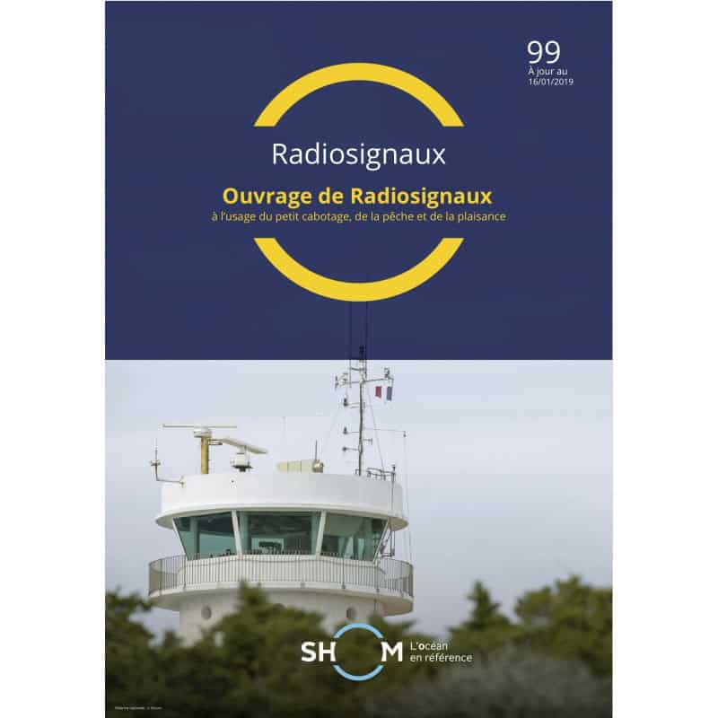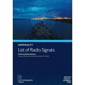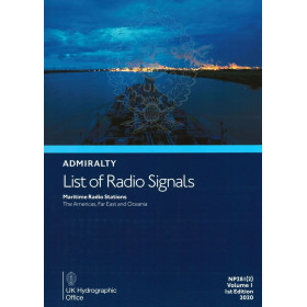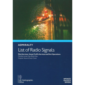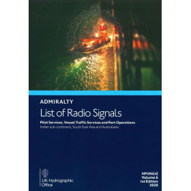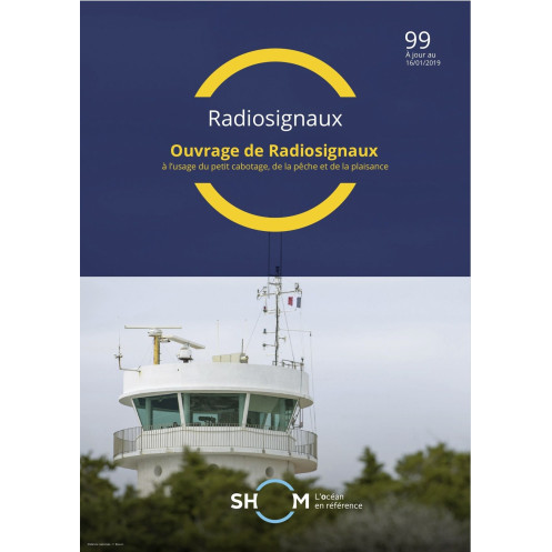



Shom - 99--RNC - Répertoire des radiosignaux à l'usage du petit cabotage, de la pêche et de la plaisance - Côtes Européennes, Mé
search
  • googlemap
  • Shom - 99--RNC - Répertoire des radiosignaux à l'usage du petit cabotage, de la pêche et de la plaisance - Côtes Européennes, Mé

Shom - 99--RNC - Répertoire des radiosignaux à l'usage du petit cabotage, de la pêche et de la plaisance - Côtes Européennes, Mé

Shom - Service Hydrographique et Océanographique de la Marine
Chart or book in digital version In French language
Rupture stock

Essential digital guide for coastal navigation, fishing, and boating along European shores. Covers key radio signal data in a single PDF, updated for 2020.

shom-99--RNC

Data sheet

Who is the publisher or the author?
Shom
On what digital medium is this nautical chart / book stored?
digital medium
download
From which year does this nautical chart date?
2020
What type of navigation book is this?
radio signal guide
Picto
Chart or book in digital version
In French language

Specific References

UPC
400000135410
EAN13
4000000181330
New
Description détaillée

Radio Signal Directory for Coastal Navigation, Fishing, and Boating – European Coasts

Publication in French
Digital version

Essential Digital Resource for Safe Coastal Navigation

Navigate European waters with confidence using this comprehensive digital directory of radio signals. Designed for small-scale coastal shipping, fishing vessels, and recreational boating, this guide consolidates critical data from multiple official sources into a single, easy-to-use digital format. Covering the European coasts, including the Mediterranean and other key maritime zones, it provides up-to-date information to ensure seamless communication and navigation at sea.

Comprehensive Coverage for Maritime Professionals

This digital publication merges essential content from several official references, including coastal radio stations, port signals, meteorological services, and navigational warnings. Whether you're a professional mariner, fisherman, or recreational sailor, this guide delivers the precise radio signal data you need for safe and efficient operations. Stay informed with the latest updates on frequencies, call signs, and operational procedures tailored to European waters.

Optimized for Digital Use and Accessibility

Available as a downloadable PDF, this digital directory is designed for convenience and accessibility. Access it on up to five devices, ensuring your crew or team can reference it whenever needed. With a validity period of 365 days and free updates for one year, this guide remains a reliable resource throughout your maritime activities. The digital format allows for quick searches, easy navigation, and effortless updates, making it a practical choice for modern mariners.

Trusted by Maritime Experts

Developed by a leading authority in hydrography and oceanography, this directory is a trusted tool for maritime professionals. It adheres to the highest standards of accuracy and reliability, providing data that is essential for compliance with maritime regulations and best practices. Whether you're navigating busy shipping lanes or remote coastal areas, this guide ensures you have the information you need to operate safely and efficiently.

Key Features for Enhanced Navigation

  • Consolidated radio signal data from multiple official sources
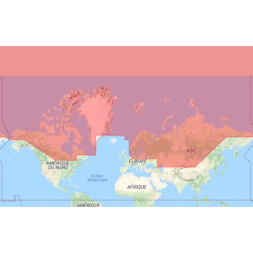
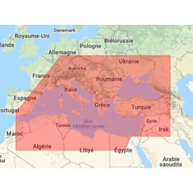
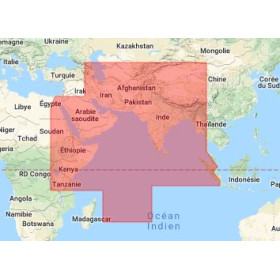
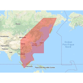
  • Covers European coasts, including the Mediterranean and other key zones
  • Digital PDF format for easy access and quick searches
  • Valid for 365 days with free updates for one year
  • Licensed for use on up to five devices
  • Ideal for small-scale shipping, fishing, and recreational boating
  • Includes frequencies, call signs, and operational procedures

Your Ultimate Digital Guide to Radio Signals for European Coastal Waters
Enhance your maritime operations with this all-in-one digital directory, meticulously curated for small-scale coastal shipping, fishing, and recreational boating. This guide brings together critical radio signal information from multiple official sources, ensuring you have the most accurate and up-to-date data for navigating European waters, including the Mediterranean and other key maritime zones. Designed for professionals who demand reliability, this digital resource is your go-to reference for safe and efficient communication at sea.

Streamlined Data for Seamless Navigation
Say goodbye to juggling multiple references. This digital directory consolidates essential radio signal data from various official publications, providing a single, comprehensive source for frequencies, call signs, port signals, and meteorological services. Whether you're a professional mariner, fisherman, or recreational sailor, this guide ensures you have the information you need at your fingertips, reducing the risk of miscommunication and enhancing operational efficiency.

Designed for Modern Mariners
Available as a downloadable PDF, this digital guide is optimized for convenience and accessibility. Access it on up to five devices, allowing your crew or team to reference it whenever and wherever needed. With a validity period of 365 days and free updates for one year, this guide remains a reliable companion throughout your maritime activities. The digital format enables quick searches, easy navigation, and effortless updates, making it a practical choice for today's tech-savvy mariners.

Built on a Foundation of Trust and Accuracy
Developed by a leading authority in hydrography and oceanography, this directory adheres to the highest standards of accuracy and reliability. It provides data that is essential for compliance with maritime regulations and best practices, ensuring your operations meet industry standards. Whether you're navigating busy shipping lanes or remote coastal areas, this guide equips you with the information you need to operate safely and confidently.

This digital radio signal directory is available in PDF format, ensuring easy access and compatibility with most devices. Updated as of July 8, 2020, it remains valid for 365 days and includes free updates for one year if available. Licensed for use on up to five workstations, this guide is designed to support small teams and crews with reliable, up-to-date information for safe navigation along European coasts.

With a legacy rooted in hydrography and oceanography, this publisher is a trusted name in maritime navigation and safety. Known for producing accurate, reliable, and up-to-date nautical resources, their publications are essential tools for professionals and enthusiasts alike. Their expertise ensures that every guide, chart, and directory meets the highest standards of precision and usability, making them a go-to source for mariners worldwide.

  • This digital radio signal directory offers unparalleled convenience and reliability for mariners navigating European waters. By consolidating critical data from multiple official sources into a single, easy-to-use PDF, it simplifies access to essential radio signal information, reducing the risk of miscommunication and enhancing operational efficiency. The digital format allows for quick searches and easy updates, ensuring you always have the most current data at your fingertips. With a validity period of 365 days and free updates for one year, this guide provides long-term value and peace of mind. Licensed for use on up to five devices, it supports small teams and crews, making it an indispensable tool for safe and efficient maritime operations.
  • Designed for professionals who demand accuracy and reliability, this directory adheres to the highest standards of maritime data. It covers a wide range of European coastal areas, including the Mediterranean, providing comprehensive coverage for small-scale shipping, fishing, and recreational boating. The inclusion of frequencies, call signs, port signals, and meteorological services ensures you have all the information needed to navigate safely and comply with maritime regulations. The digital format not only enhances accessibility but also reduces the environmental impact associated with printed materials, making it a sustainable choice for modern mariners.
What regions are covered in this radio signal directory?

The directory covers European coasts, including the Mediterranean and other specified zones.

How is the digital version delivered after purchase?

It is delivered via a download link or as a compressed PDF file.

Can I install the PDF on multiple devices?

Yes, the license allows installation on up to 5 computers per purchase. Additional licenses can be bought in increments of 5.

Are updates included after purchasing the directory?

Yes, free updates are provided for one year if available.

What is the validity period of this digital directory?

The directory is valid for 365 days from the date of download.

Which previous publications are consolidated in this directory?

It consolidates elements from publications 91, 92.1, 92.2, 92.3, 92.4, 96.1, and 96.2.

Is this directory suitable for professional fishing activities?

Yes, it is designed for coastal navigation, fishing, and recreational boating.

Loading...