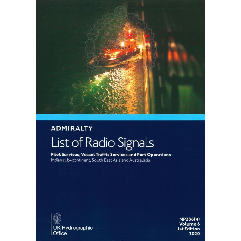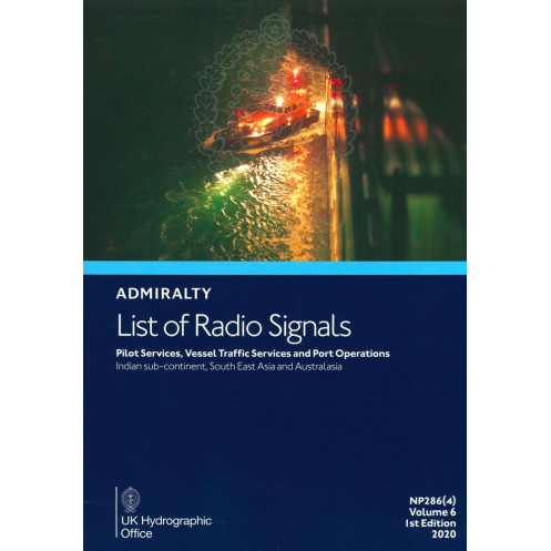




2025 edition of this indispensable maritime guide covering pilot services, VTS, and port operations in the Persian Gulf, India, and Southeast Asia. Includes 300+ color diagrams for precision.
Data sheet
Specific References
Stay ahead in maritime navigation with this essential reference covering pilot services, vessel traffic services (VTS), and port operations across critical regions. Designed for professionals who demand precision and reliability, this publication delivers up-to-date information on maritime traffic management, pilotage procedures, and port protocols. Whether navigating the bustling waters of the Persian Gulf, the Indian subcontinent, or Southeast Asia, this guide ensures compliance with international and national vessel reporting systems, enhancing safety and operational efficiency.
This publication is an indispensable tool for mariners, port authorities, and shipping companies. It provides clear, structured data on vessel traffic services, pilot boarding arrangements, and port entry procedures, ensuring smooth and safe operations in high-traffic maritime zones. The inclusion of national and international vessel reporting systems further streamlines compliance, reducing the risk of delays or regulatory issues.
In the fast-paced maritime industry, having access to accurate and detailed information is non-negotiable. This guide bridges the gap between global maritime standards and local operational requirements, offering a single source of truth for pilot services, VTS, and port operations. Whether you're navigating congested waterways or coordinating port logistics, this publication provides the clarity and confidence needed to execute operations flawlessly.
Enhance Maritime Safety and Efficiency with the Definitive Guide to Pilot Services and Port Operations
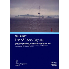
Navigating complex maritime regions demands precision, and this comprehensive guide delivers just that. The *List of Radio Signals Volume 6 – Part 4* is the go-to resource for maritime professionals, offering unparalleled insights into pilot services, vessel traffic services (VTS), and port operations across the Persian Gulf, Indian subcontinent, Southeast Asia, and Australasia. With over 300 color diagrams, this publication provides visual clarity on VTS zones, pilotage routes, and port entry procedures, ensuring seamless operations in high-traffic areas. Updated for 2025, it reflects the latest maritime regulations and operational standards, making it an indispensable tool for compliance and safety.
Trusted Data for Global Maritime Operations
This guide is meticulously curated to support mariners, port authorities, and shipping companies in managing vessel traffic and port logistics with confidence. It includes detailed contact information, procedural guidelines, and national/international vessel reporting systems, streamlining communication and coordination. Whether you're navigating the congested waters of the Persian Gulf or coordinating port operations in Southeast Asia, this publication ensures you have the most accurate and up-to-date information at your fingertips. Its printed format guarantees reliability, even in environments where digital access may be limited.
Built for Professionals Who Demand Excellence
Designed for those who prioritize safety and efficiency, this guide is a cornerstone of maritime navigation. It covers critical regions with precision, offering structured data on pilot boarding arrangements, VTS protocols, and port entry requirements. The inclusion of regional-specific details ensures compliance with local regulations, reducing the risk of operational delays or regulatory issues. With a legacy of trust and reliability, this publication is the standard reference for maritime professionals worldwide, providing the clarity and confidence needed to navigate even the most challenging waters.
This printed publication is the 6th edition (2025) of *List of Radio Signals Volume 6 – Part 4*, covering pilot services, vessel traffic services, and port operations in key maritime regions. Weighing 1.9 kg, it is available in English and includes over 300 color diagrams for enhanced clarity. The guide spans critical coordinates, from the Persian Gulf to Australasia, ensuring comprehensive coverage for maritime professionals.
With a legacy spanning over two centuries, this publisher is a global leader in maritime navigation and hydrographic data. Renowned for its precision, reliability, and commitment to safety, it provides essential resources for mariners, port authorities, and shipping companies worldwide. Its publications are trusted by professionals to deliver accurate, up-to-date information, ensuring compliance with international maritime standards and enhancing operational efficiency.
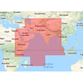
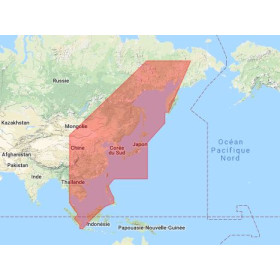
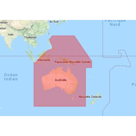
This volume covers the Persian Gulf (including Oman), the Indian subcontinent, Southeast Asia, and Australasia.
This edition includes over 300 color diagrams representing vessel traffic services, pilotage, and port operations.
The publication weighs 1.9 kg.
Yes, it provides detailed coordinates and procedures for port operations, pilot services, and vessel traffic services.
No, this guide is only available in English.
This is the 6th edition, published in 2025.
Yes, it includes comprehensive information on both national and international ship reporting systems.
You might also like