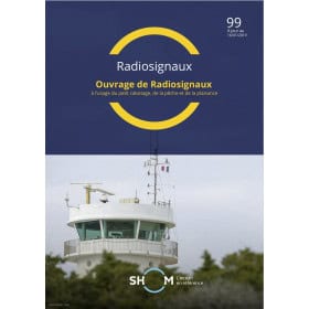
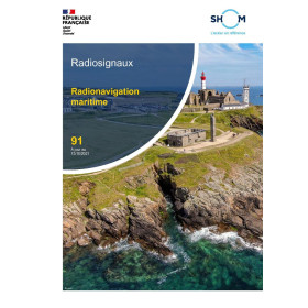
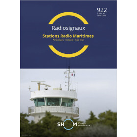
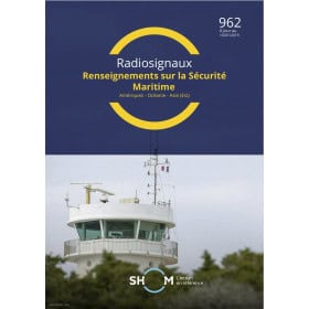
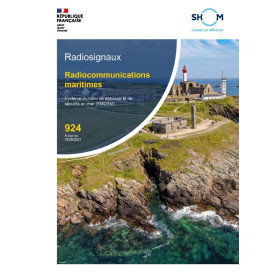
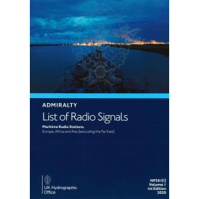
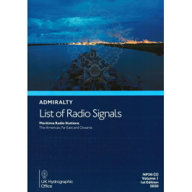
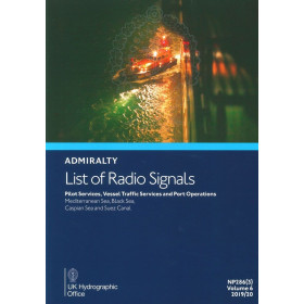
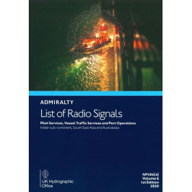
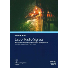
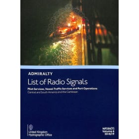
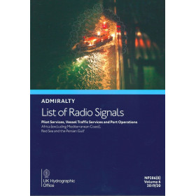
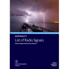
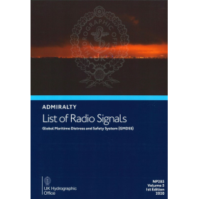
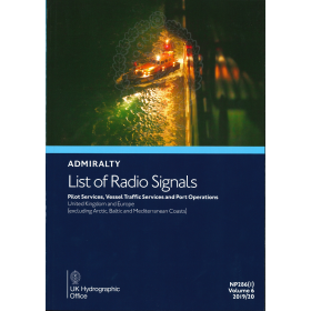
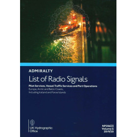
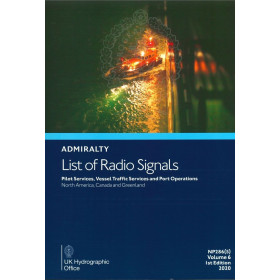
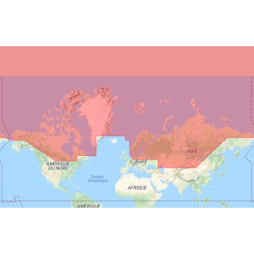
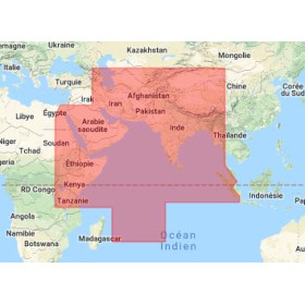
Digital List of Radio Signals, Volume 6 – Zone 4
Publication in EnglishDigital publication readable only on PC with Windows 7 and later versionsYour Essential Digital Guide to Global Maritime Radio Communications
Navigating the world’s busiest waterways demands precision, reliability, and up-to-date information. The Digital List of Radio Signals, Volume 6 – Zone 4 delivers exactly that—a comprehensive, annually updated digital resource designed for maritime professionals who require instant access to critical radio communication data. Covering over 3,800 service locations worldwide, this publication is your go-to reference for pilotage services, vessel traffic management, port operations, and global maritime distress systems. Whether you're a shipmaster, port authority, or maritime safety officer, this digital guide ensures you stay compliant, connected, and in control across Europe, the Mediterranean, and Asia.
Why Choose a Digital Format for Maritime Navigation?
- Instant Access, Anywhere: Download and use this digital publication on your PC (Windows 7 or later) or compatible devices, eliminating the need for bulky paper volumes. Stay agile with information that’s always at your fingertips.
- Real-Time Updates: Benefit from weekly updates that keep you ahead of regulatory changes, new service locations, and evolving maritime safety protocols. No more waiting for annual reprints—your data is always current.
- Seamless Integration: Designed for compatibility with ADMIRALTY e-Reader applications, this digital guide works across multiple platforms, including macOS, iOS, and Android, ensuring you can access it wherever your operations take you.
- Eco-Friendly and Efficient: Reduce your environmental footprint while enhancing operational efficiency. Digital access means no physical storage, no wear and tear, and no risk of misplacing critical information.
Comprehensive Coverage for Critical Maritime Zones
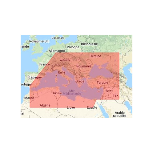
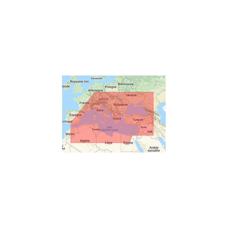
Zone 4 is one of the most strategically important maritime regions in the world, encompassing high-traffic areas such as the English Channel, Mediterranean Sea, Black Sea, and parts of the Middle East and Asia. This volume provides detailed information on:
- Pilotage Services: Access contact details, frequencies, and operational procedures for pilot stations across key ports and waterways, ensuring smooth and safe navigation.
- Vessel Traffic Services (VTS): Stay informed about VTS centers, their coverage areas, and communication protocols to maintain compliance and avoid delays in congested shipping lanes.
- Port Operations: Get up-to-date information on port authorities, berthing procedures, and local regulations to streamline your port calls and reduce turnaround times.
- Global Maritime Distress and Safety System (GMDSS): Ensure your vessel is equipped with the latest distress and safety communication protocols recognized by the International Maritime Organization (IMO).
- National Maritime Safety Requirements: Navigate the complexities of local regulations with confidence, thanks to detailed insights into the requirements of national maritime authorities.
Designed for Maritime Professionals, Backed by Global Standards
This digital publication is more than just a reference—it’s a mission-critical tool trusted by maritime professionals worldwide. Compiled by leading hydrographic experts, it adheres to the highest standards of accuracy and reliability, ensuring you have the information you need to make informed decisions. Whether you're planning a voyage, coordinating port operations, or ensuring compliance with international safety standards, this guide provides the clarity and precision required for safe and efficient maritime operations.
Optimized for Performance and Usability
- Lightweight and Fast: With a file size of just ~15 MB, this digital guide downloads quickly and runs smoothly, even on older systems.
- User-Friendly Interface: Navigate effortlessly through thousands of service locations with an intuitive digital interface designed for maritime professionals. Search, filter, and bookmark critical information with ease.
- Secure and Licensed: Enjoy peace of mind with a licensed annual publication that guarantees access to the most current and accurate data available.
Stay Ahead of the Curve with Weekly Updates
Maritime regulations and service locations evolve constantly. That’s why this digital guide is updated weekly, ensuring you always have the latest information at your disposal. From changes in pilotage services to new VTS protocols, you’ll never be caught off guard. The 2024 edition is already packed with the most recent data, giving you a competitive edge in planning and executing your maritime operations.
Who Should Use This Digital Guide?
- Shipmasters and Navigating Officers: Ensure your vessel complies with international and local communication requirements while navigating high-traffic zones.
- Port Authorities and Harbor Masters: Streamline port operations with accurate, up-to-date information on pilotage, VTS, and berthing procedures.
- Maritime Safety Officers: Stay compliant with IMO and national safety regulations, and ensure your crew is prepared for any emergency.
- Maritime Training Institutions: Equip your students with the latest industry-standard references for radio communication and maritime safety.
- Shipping Companies and Fleet Managers: Optimize voyage planning and reduce operational risks with reliable, real-time data.
Upgrade Your Maritime Operations Today
In a fast-paced industry where precision and reliability are non-negotiable, the Digital List of Radio Signals, Volume 6 – Zone 4 is your indispensable companion. Say goodbye to outdated paper volumes and embrace the future of maritime navigation with a digital solution that’s faster, smarter, and more efficient. Download your copy today and take the first step toward safer, more streamlined maritime operations.
Navigate with Confidence Using the Digital List of Radio Signals, Volume 6 – Zone 4
In the complex and ever-changing world of maritime navigation, having access to accurate, up-to-date radio communication data isn’t just an advantage—it’s a necessity. The Digital List of Radio Signals, Volume 6 – Zone 4 is a cutting-edge digital publication designed to provide maritime professionals with instant access to critical information for over 3,800 service locations worldwide. Covering high-traffic regions such as the English Channel, Mediterranean Sea, Black Sea, and parts of Asia, this guide is your ultimate resource for pilotage services, vessel traffic management, port operations, and global maritime distress systems. Whether you're navigating congested shipping lanes or coordinating port calls, this digital tool ensures you stay compliant, connected, and in control.
A Digital Solution for Modern Maritime Challenges
Gone are the days of flipping through bulky paper volumes to find the information you need. This digital guide is optimized for speed and efficiency, with a compact file size of ~15 MB that downloads quickly and runs smoothly on any PC with Windows 7 or later. Compatible with ADMIRALTY e-Reader applications, it also works seamlessly across macOS, iOS, and Android devices, giving you the flexibility to access critical data wherever your operations take you. With weekly updates, you can trust that your information is always current, reducing the risk of non-compliance and operational delays.
Comprehensive Coverage for High-Traffic Maritime Zones
Zone 4 is one of the most strategically important maritime regions in the world, and this volume provides unparalleled coverage of its key areas. From the bustling ports of Europe to the critical waterways of the Mediterranean and Asia, this guide delivers detailed information on: Pilotage Services: Access contact details, frequencies, and operational procedures for pilot stations, ensuring smooth and safe navigation in and out of ports. Vessel Traffic Services (VTS): Stay informed about VTS centers, their coverage areas, and communication protocols to avoid delays and maintain compliance in congested shipping lanes. Port Operations: Streamline your port calls with up-to-date information on port authorities, berthing procedures, and local regulations. Global Maritime Distress and Safety System (GMDSS): Ensure your vessel is equipped with the latest distress and safety communication protocols recognized by the International Maritime Organization (IMO).
Designed for Professionals, Backed by Global Standards
This digital publication is more than just a reference—it’s a mission-critical tool trusted by maritime professionals worldwide. Compiled by leading hydrographic experts, it adheres to the highest standards of accuracy and reliability, ensuring you have the information you need to make informed decisions. Whether you're planning a voyage, coordinating port operations, or ensuring compliance with international safety standards, this guide provides the clarity and precision required for safe and efficient maritime operations.
The Digital List of Radio Signals, Volume 6 – Zone 4 is a robust digital publication designed to meet the demands of modern maritime navigation. With a file size of ~15 MB, it is lightweight yet packed with comprehensive data, covering over 3,800 service locations across critical maritime regions. Compatible with Windows 7 and later versions, as well as macOS, iOS, and Android via ADMIRALTY e-Reader applications, this guide ensures seamless access to up-to-date information. Updated weekly and featuring the latest 2024 edition, it provides real-time data on pilotage services, vessel traffic management, port operations, and global maritime distress systems, all in English for universal accessibility.
For over two centuries, this trusted name in maritime navigation has been synonymous with precision, reliability, and innovation. Specializing in hydrographic data and nautical publications, their products are used by maritime professionals worldwide to ensure safe and efficient navigation. Their digital solutions, like this guide, combine cutting-edge technology with decades of expertise, providing users with the most accurate and up-to-date information available.
- This digital guide offers unparalleled convenience and reliability for maritime professionals.
- Instant access to over 3,800 service locations allows you to navigate high-traffic zones with confidence, knowing you have the most current data at your fingertips.
- Weekly updates ensure compliance with evolving regulations.
- Compact file size and multi-platform compatibility make it easy to use on any device.
- Embrace a faster, smarter, and more efficient way to manage maritime communications and operations by saying goodbye to bulky paper volumes.