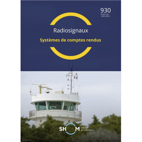



Shom - 930-RNC - Systèmes de comptes rendus
search
  • googlemap
  • Shom - 930-RNC - Systèmes de comptes rendus

Shom - 930-RNC - Systèmes de comptes rendus

Shom - Service Hydrographique et Océanographique de la Marine
Chart or book in digital version In French language
Rupture stock

This digital guide covers non-port reporting systems for SOLAS compliance. Ensure navigation safety and marine protection with 365-day access and free annual updates in PDF format.

shom-930-RNC

Data sheet

Who is the publisher or the author?
Shom
On what digital medium is this nautical chart / book stored?
digital medium
download
From which year does this nautical chart date?
2020
What type of navigation book is this?
radio signal guide
Picto
Chart or book in digital version
In French language

Specific References

UPC
400000135359
EAN13
4000000181125
New
Description détaillée

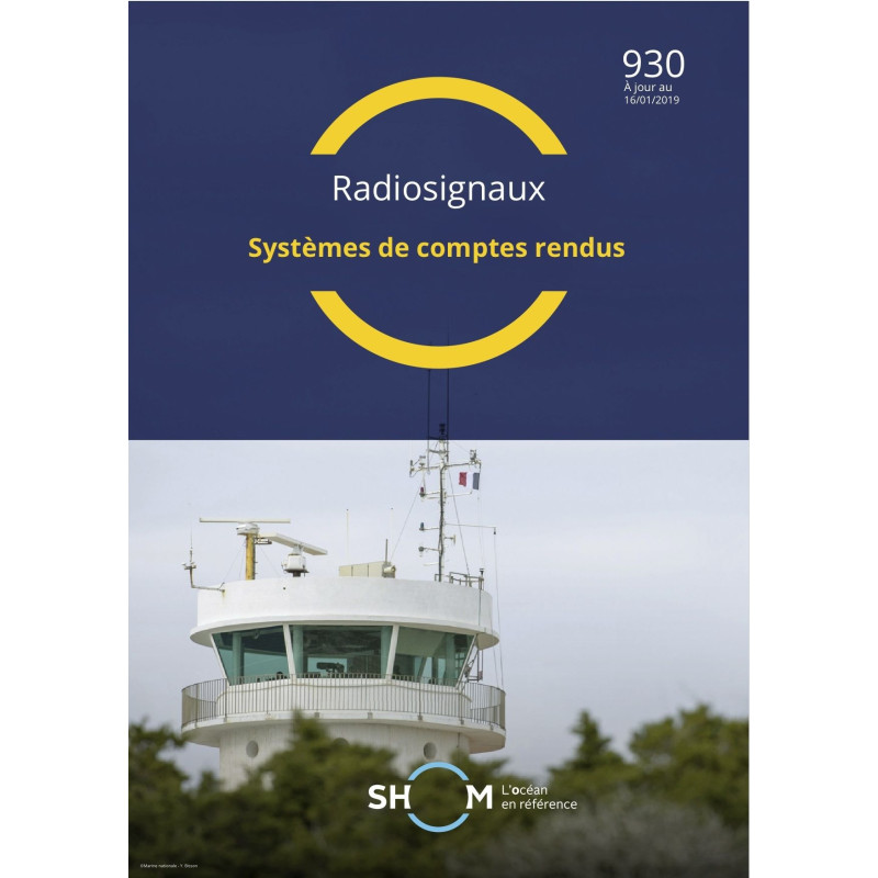
Reporting Systems – Digital Navigation Guide

Publication in French
Digital version

Essential Reference for Maritime Reporting Systems

Navigate with confidence using this comprehensive digital guide to non-port reporting systems. Designed for maritime professionals, this publication covers both mandatory and voluntary reporting frameworks as outlined in the SOLAS convention. Its primary goal is to enhance safety at sea, improve navigational efficiency, and protect the marine environment. Recognized as the authoritative reference for its geographic coverage, this guide is cited in official Nautical Instructions, ensuring compliance and reliability for all users.

Why This Digital Guide is a Must-Have

  • Comprehensive Coverage: Detailed descriptions of reporting systems that are critical for safe and efficient maritime operations.
  • SOLAS Compliance: Aligns with international maritime safety standards, ensuring your operations meet regulatory requirements.
  • Digital Convenience: Accessible in PDF format, this guide is easy to use on multiple devices, making it ideal for onboard or office use.
  • Up-to-Date Information: Edition updated as of GAN 20/05 (January 29, 2019), with a validity period of 365 days, ensuring you have the latest data at your fingertips.
  • Free Updates for One Year: Stay current with complimentary updates for a full year, keeping your guide aligned with the latest maritime regulations.

Designed for Maritime Professionals

This guide is tailored for professionals in the merchant marine industry, including ship captains, navigators, and maritime safety officers. It provides clear, actionable information to support decision-making and operational efficiency. Whether you're navigating busy shipping lanes or remote waters, this guide ensures you have the tools to report accurately and comply with international standards.

Seamless Digital Access

Receive your digital guide via download link or compressed file, with the flexibility to install it on up to five workstations. This ensures your entire team has access to the same critical information, enhancing collaboration and consistency across your operations.

Optimized for Safety and Efficiency

By integrating this guide into your workflow, you enhance your ability to respond to navigational challenges, reduce risks, and protect both crew and cargo. The digital format allows for quick searches and easy updates, making it a practical tool for modern maritime operations. Trust this guide to provide the clarity and precision needed for safe and efficient voyages.

Enhance Maritime Safety with the Ultimate Reporting Systems Guide
In the fast-paced world of maritime navigation, accurate and timely reporting is not just a requirement—it’s a lifeline. The *Reporting Systems – Digital Navigation Guide* is your go-to resource for mastering non-port reporting systems, whether mandatory or voluntary. Designed to align with the SOLAS convention, this guide is a cornerstone for ensuring the safety of life at sea, optimizing navigational efficiency, and safeguarding the marine environment. Recognized in official Nautical Instructions, it serves as the definitive reference for its geographic coverage, providing maritime professionals with the tools they need to navigate confidently and compliantly.

Stay Ahead with Digital Precision
This digital guide is delivered in PDF format, offering unparalleled convenience and accessibility. Updated as of GAN 20/05 (January 29, 2019), it remains valid for 365 days, ensuring you always have the most current information at your disposal. With free updates for one year, you can rest assured that your guide will evolve alongside maritime regulations, keeping your operations ahead of the curve. Installation is seamless, with the flexibility to use the guide on up to five workstations, making it ideal for teams that need consistent access to critical data.

Built for Professionals, by Experts
Tailored for the merchant marine industry, this guide is an indispensable tool for ship captains, navigators, and maritime safety officers. It provides clear, concise, and actionable information to support decision-making in real-time. Whether you're navigating congested shipping lanes or remote waters, this guide ensures you have the knowledge to report accurately, comply with international standards, and mitigate risks effectively. Its digital format allows for quick searches and easy updates, making it a practical and efficient resource for modern maritime operations.

This digital guide is designed to meet the demands of modern maritime professionals. Delivered in PDF format, it is updated as of GAN 20/05 (January 29, 2019) and remains valid for 365 days. The guide includes free updates for one year and can be installed on up to five workstations, ensuring your team has consistent access to the latest reporting systems and compliance standards.

With a legacy rooted in maritime expertise, this publisher is a trusted name in hydrography and oceanography. Renowned for producing high-quality navigational resources, their publications are designed to meet the rigorous demands of maritime professionals worldwide. Each guide is crafted with precision, ensuring accuracy, reliability, and compliance with international standards, making them indispensable tools for safe and efficient navigation.

  • This digital guide offers unmatched convenience and reliability for maritime professionals. Its PDF format ensures easy access and quick searches, while the 365-day validity period guarantees up-to-date information. Free updates for one year keep your operations compliant with the latest regulations, and the ability to install on five workstations enhances team collaboration. Designed for SOLAS compliance, it provides the clarity and precision needed to navigate safely and efficiently, making it an essential resource for any maritime operation.
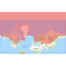
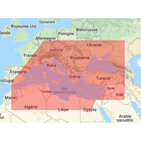
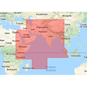
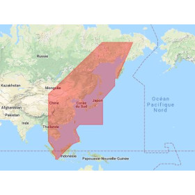
What is the geographical coverage area of this guide?

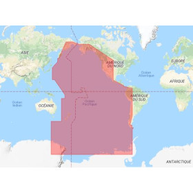
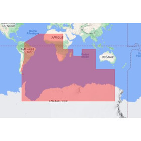
The guide serves as the reference document for non-port reporting systems within its designated geographical coverage area, as specified in the Nautical Instructions.

How often are updates provided during the one-year period?

Updates are provided free of charge throughout the 365-day validity period, ensuring the information remains current with the latest amendments.

Can the PDF be accessed on more than five devices?

The license restricts access to a maximum of five computer workstations. Additional installations require a separate license.

What types of reporting systems are covered in this guide?

It details both mandatory and voluntary non-port reporting systems, as outlined in the SOLAS convention, for safety, navigation efficiency, and marine protection.

Is the content compatible with mobile devices?

The PDF format is compatible with most devices, though optimal use is recommended on computers due to the technical nature of the content.

What happens after the 365-day validity period expires?

Access to the guide and its updates will no longer be available. A new license must be purchased to continue using the latest edition.

Loading...