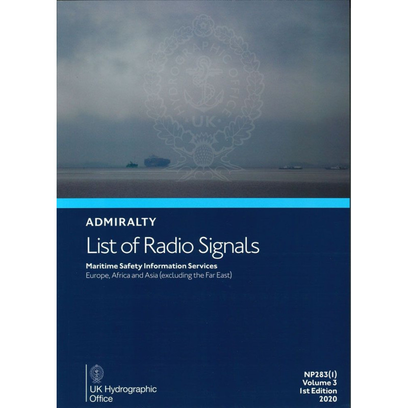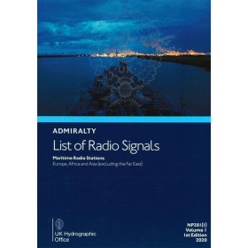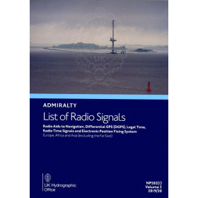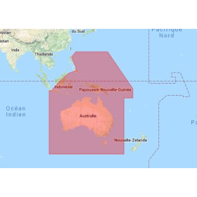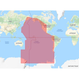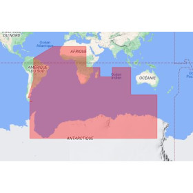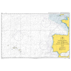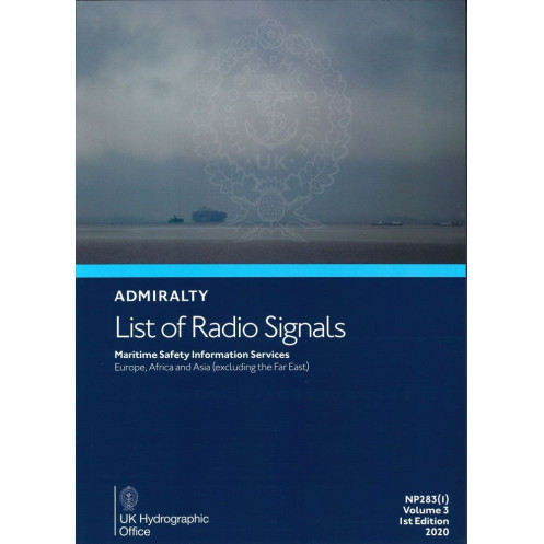




Stay informed with critical maritime safety data for Europe, Africa, and Asia. Features weather broadcasts, NAVTEX, SafetyNET, and radio-facsimile frequencies for seamless navigation.
Data sheet
Specific References
Stay ahead of critical maritime safety information with this comprehensive reference designed for professionals navigating European, African, and Asian waters. This volume delivers up-to-date details on Maritime Safety Information (MSI) services, ensuring seamless communication and compliance with international maritime regulations. Whether you're a shipmaster, navigator, or maritime operator, this guide is your trusted resource for reliable radio signal data.
In the fast-paced world of maritime operations, having instant access to accurate and comprehensive safety information can mean the difference between smooth sailing and costly disruptions. This volume is more than just a reference—it’s a lifeline for vessels operating in some of the world’s busiest and most challenging waters. Equip your crew with the knowledge they need to navigate safely and efficiently, no matter where their journey takes them.
Unmatched Precision for Maritime Safety Communications
Navigate with confidence using the NP283(1), the definitive printed guide to Maritime Safety Information (MSI) services across Europe, Africa, and Asia. This volume is an indispensable resource for maritime professionals, offering unparalleled accuracy and depth in radio signal data, ensuring compliance with international safety standards and seamless communication at sea.
Comprehensive Coverage for Critical Waters
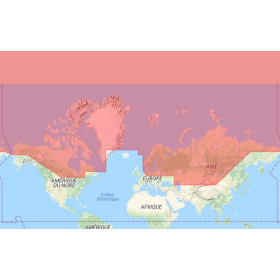
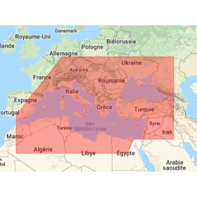
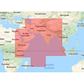
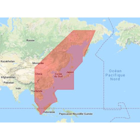
This guide provides exhaustive details on maritime weather services, global MSI broadcasts, NAVTEX, and SafetyNET systems, as well as critical alerts like Subfacts and Gunfacts warnings. With coverage spanning latitudes from 80°N to 60°S and longitudes from 8°W to 170°W, it equips crews with the information needed to avoid hazards and plan voyages with precision. Whether operating in the North Sea, the Mediterranean, or the Indian Ocean, this volume ensures you’re always informed.
Engineered for Reliability and Durability
Weighing just 1.9 kg, this printed guide is designed for onboard use, offering a robust and dependable alternative to digital systems. Its durable format ensures it remains legible and intact, even in challenging maritime environments where electronic devices may fail. Updated regularly—with the latest edition published in 2025—it reflects the most current data, making it a trusted companion for modern maritime operations.
Trusted by Maritime Experts Worldwide
As part of the renowned List of Radio Signals series, this volume is backed by over a century of expertise in maritime navigation. It is the go-to reference for shipmasters, navigators, and maritime operators who demand accuracy and reliability. With its clear organization and detailed content, it simplifies complex safety protocols, allowing crews to focus on what matters most: safe and efficient navigation.
This essential maritime reference, the NP283(1), is a printed guide in English, weighing 1.9 kg. It covers Maritime Safety Information services for Europe, Africa, and Asia, including weather broadcasts, NAVTEX, SafetyNET, and hazard warnings. The 2025 edition (6th edition) ensures up-to-date data for latitudes 80°N to 60°S and longitudes 8°W to 170°W, making it a critical tool for professional navigators.
With a legacy spanning over two centuries, this publisher is a global leader in maritime navigation and hydrographic services. Renowned for its precision and reliability, it provides essential resources for commercial shipping, naval operations, and offshore industries worldwide. Its publications are trusted by maritime professionals for their accuracy, comprehensive coverage, and adherence to international safety standards.
This guide covers Maritime Safety Information Services for Europe, Africa, and Asia, excluding the Far East.
Yes, it provides details on NAVTEX and SafetyNET broadcasts, including global maritime safety information transmissions.
It includes maritime weather services, radio-facsimile station frequencies, and their corresponding weather chart coverage areas.
Yes, it contains details on submarine warnings (Subfacts) and artillery warnings (Gunfacts).
The guide weighs 1.9 kg in its paper format.
This is the 6th edition, published in 2025.
No, this guide is only available in English.
You might also like