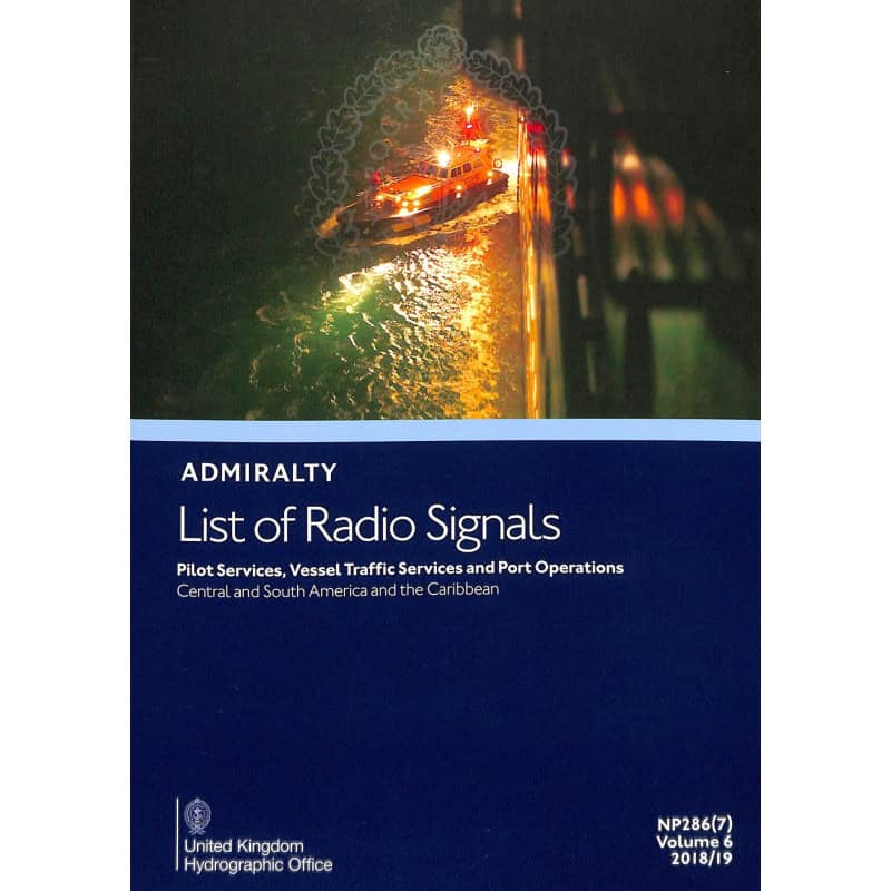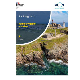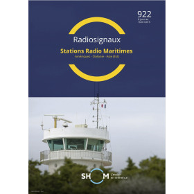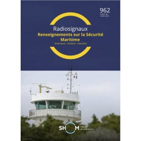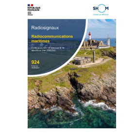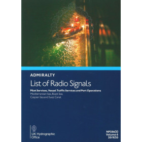




Navigate safely in Central/South America and the Caribbean with this comprehensive guide to pilot services, vessel traffic systems, and port operations. Features 300+ color diagrams for precision.
Data sheet
Specific References
Stay ahead in maritime operations with this authoritative guide, designed to provide mariners with up-to-date, accurate, and actionable information on pilot services, vessel traffic services (VTS), and port operations. This publication is a cornerstone for safe and efficient navigation, ensuring compliance with international maritime regulations and enhancing communication protocols at sea.
This publication is tailored for captains, navigators, port authorities, and maritime operators who require reliable, standardized information to ensure safe and compliant voyages. Whether navigating busy shipping lanes, coordinating with local pilot services, or adhering to port-specific protocols, this guide delivers the critical data needed to mitigate risks and optimize operations.
With its clear layout, color-coded diagrams, and easy-to-navigate structure, this guide is engineered for quick access to information in high-pressure situations. The paperback format ensures durability and convenience, making it a reliable companion for onboard use, whether in the wheelhouse or during pre-voyage planning.
Navigate with Confidence Using the Definitive Guide to Pilot Services and Port Operations
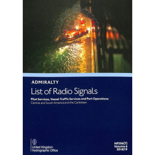
Ensure seamless maritime operations with the *List of Radio Signals Volume 6 – Part 7*, the industry-standard reference for pilot services, vessel traffic services (VTS), and port operations across Central America, South America, and the Caribbean. This essential publication equips mariners with the critical data needed to navigate safely, comply with local and international regulations, and maintain efficient communication with port authorities and pilot stations. Updated annually, it reflects the latest procedural changes, contact details, and navigational protocols, making it an indispensable tool for captains, navigators, and maritime professionals.
Precision Navigation for High-Stakes Maritime Environments
Covering a vast geographic area from latitudes 42°N to 20°S and longitudes 20°W to 120°W, this guide provides unparalleled detail on over 300 ports and maritime zones. It includes comprehensive information on pilot boarding procedures, VTS reporting requirements, and port-specific regulations, ensuring vessels can operate smoothly in even the most complex maritime environments. The inclusion of more than 300 full-color diagrams offers visual clarity on VTS zones, pilotage routes, and port layouts, reducing the risk of miscommunication and enhancing operational safety.
Built for Durability and Onboard Practicality
Designed for real-world use, this paperback edition weighs just 1.9 kg, making it lightweight yet robust enough to withstand the demands of life at sea. Its user-friendly layout, with clear headings, bullet points, and an intuitive index, allows for quick access to information, whether you're planning a voyage or responding to dynamic conditions on the water. The guide’s annual updates ensure that mariners always have the most current data at their fingertips, supporting compliance with SOLAS and IMO standards while minimizing operational risks.
Trusted by Maritime Professionals Worldwide
As part of the esteemed Admiralty List of Radio Signals (ALRS) series, this publication is recognized globally for its accuracy, reliability, and adherence to international maritime standards. Whether you're navigating busy shipping lanes, coordinating with local pilot services, or ensuring compliance with port entry procedures, this guide provides the confidence and clarity needed to execute operations flawlessly. Its technical depth and practical focus make it an invaluable resource for any maritime professional operating in the Americas and the Caribbean.
This essential maritime reference delivers critical operational data in a durable, paperback format. Weighing 1.9 kg, it features over 300 full-color diagrams illustrating vessel traffic services (VTS), pilotage routes, and port operations across Central America, South America, and the Caribbean. Updated annually, the 7th edition (2026) ensures compliance with the latest maritime regulations and communication protocols, covering latitudes from 42°N to 20°S and longitudes from 20°W to 120°W. Published entirely in English, it serves as a vital tool for safe and efficient navigation.
With a legacy spanning over two centuries, this publisher is a global leader in maritime navigation and hydrographic services. Renowned for its accuracy, reliability, and adherence to international standards, its publications are trusted by mariners, port authorities, and maritime organizations worldwide. The Admiralty List of Radio Signals (ALRS) series, in particular, is a cornerstone of maritime safety, providing up-to-date, regulatory-compliant information to support safe and efficient navigation across the world's oceans.
This guide covers pilot services, vessel traffic services, and port operations specifically for Central and South America, as well as the Caribbean.
The publication is updated annually to ensure the latest information on maritime services and procedures.
It includes over 300 color diagrams illustrating vessel traffic services, pilotage, and port operations for clarity and ease of reference.
No, this guide is published exclusively in English.
The printed guide weighs approximately 1.9 kg.
Yes, it provides details on both national and international vessel reporting systems for the covered regions.
This is the 7th edition, published in 2026, though the current stock reflects the 2017 print year.
You might also like