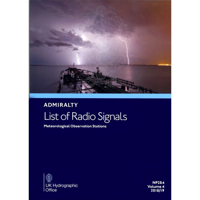


Admiralty - NP284 - List of Radio Signals Vol. 4
search
  • googlemap
  • Admiralty - NP284 - List of Radio Signals Vol. 4

Admiralty - NP284 - List of Radio Signals Vol. 4

€127.05
Tax included
Admiralty - United Kingdom Hydrographic Office
In English language
Estimated preparation time: 5 to 14 days

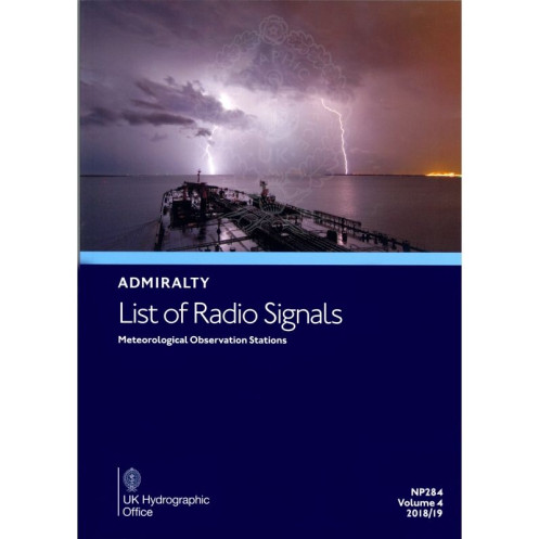
This Volume 4 Radio Signals List provides global meteorological station data in A4 format. Essential for bridge crews to ensure compliance and seamless maritime communications.

NP284

Data sheet

Who is the publisher or the author?
Admiralty
On what digital medium is this nautical chart / book stored?
paper medium
From which year does this nautical chart date?
2017 / 2018
What type of navigation book is this?
radio signal guide
What is the size?
paper medium
Picto
In English language

Specific References

UPC
400000129853
EAN13
4000000108191
New
Description détaillée

Admiralty List of Radio Signals Volume 4 – Meteorological Observation Stations

Publication in English
Printed edition

Essential Reference for Global Maritime Weather Communications

Stay ahead of changing weather conditions with the Admiralty List of Radio Signals Volume 4, the definitive guide to meteorological observation stations worldwide. Designed for maritime professionals, this printed publication delivers up-to-date, critical data on weather reporting stations, ensuring safe and compliant navigation across international waters. Whether you're managing long-haul voyages or coastal operations, this volume provides the tools to maintain seamless communication with meteorological authorities, optimize route planning, and enhance onboard decision-making.

Comprehensive Coverage of Global Weather Stations

  • Features a complete directory of meteorological observation stations, including coastal, offshore, and remote locations across all continents.
  • Includes detailed information on station frequencies, call signs, operational hours, and reporting procedures to streamline weather-related communications.
  • Covers key regions such as the North Atlantic, Pacific, Indian Ocean, and polar areas, ensuring global applicability for vessels of all sizes.
  • Updated to reflect the latest changes in meteorological reporting standards and international maritime regulations.

Engineered for Maritime Professionals

  • Tailored for deck officers, navigators, and maritime communication specialists who require reliable, real-time weather data for operational safety.
  • Supports compliance with SOLAS (Safety of Life at Sea) and WMO (World Meteorological Organization) requirements for weather reporting and voyage planning.
  • Provides clear, standardized formats for transmitting and receiving meteorological data, reducing the risk of miscommunication during critical operations.
  • Ideal for use in conjunction with other navigational publications, such as sailing directions and nautical almanacs, to create a robust onboard reference library.

Built for Durability and Onboard Use

  • Printed in a sturdy A4 format, designed to withstand the rigors of maritime environments, including exposure to humidity, salt, and frequent handling.
  • Organized for quick and easy reference, with intuitive indexing and clear typography to minimize search time during high-pressure situations.
  • Lightweight yet comprehensive, making it a practical addition to any vessel’s navigation station without occupying excessive space.

Trusted by the Maritime Industry

  • Published by a leading authority in hydrographic and navigational data, ensuring accuracy, reliability, and adherence to international standards.
  • Widely used by commercial shipping fleets, naval vessels, and offshore operators to maintain operational efficiency and safety.
  • Regularly updated to incorporate the latest advancements in meteorological technology and global reporting practices, providing users with the most current information available.

Optimize Your Voyage with Reliable Data

In the dynamic world of maritime navigation, access to accurate and timely weather information can mean the difference between a successful voyage and a costly delay. The Admiralty List of Radio Signals Volume 4 equips your crew with the knowledge to anticipate weather patterns, avoid hazardous conditions, and maintain seamless communication with meteorological services worldwide. Whether you're navigating congested shipping lanes or remote oceanic routes, this publication is an indispensable tool for ensuring safety, compliance, and efficiency at sea.

Navigate with Confidence Using the Admiralty List of Radio Signals Volume 4
When every mile counts, reliable weather data is non-negotiable. The Admiralty List of Radio Signals Volume 4 – Meteorological Observation Stations is the maritime industry’s gold standard for global weather communication, providing deck officers and navigators with an exhaustive directory of meteorological stations worldwide. This printed volume is engineered to support real-time decision-making, ensuring vessels of all types—from commercial cargo ships to offshore platforms—can maintain safe, efficient, and compliant operations in any oceanic region.

Global Coverage for Uninterrupted Operations
This publication delivers unparalleled coverage of meteorological observation stations, spanning coastal, offshore, and remote locations across the North Atlantic, Pacific, Indian Ocean, and polar regions. Each entry includes critical details such as station frequencies, call signs, operational hours, and reporting protocols, enabling seamless communication with weather authorities. Whether you’re navigating the busy shipping lanes of the English Channel or the isolated waters of the Southern Ocean, this volume ensures you have the data needed to anticipate weather changes and adjust your route accordingly.

Designed for Maritime Professionals, by Maritime Experts
Built to meet the demands of deck officers, navigators, and communication specialists, this volume is a cornerstone of onboard safety and regulatory compliance. It aligns with SOLAS and WMO standards, providing standardized formats for transmitting and receiving meteorological data. The A4 format is both durable and practical, designed to endure the harsh conditions of life at sea while remaining easy to reference during high-pressure situations. With a weight of 1.9 kg, it strikes the perfect balance between portability and comprehensiveness, making it an essential addition to any vessel’s navigation station.

Stay Ahead with the Latest Edition
The 6th edition (2025) of this publication reflects the most recent advancements in meteorological reporting and global maritime regulations. Updated to include new stations, revised frequencies, and emerging communication protocols, it ensures your crew has access to the most current and accurate information available. By integrating this volume into your navigational workflow, you’re not just complying with international standards—you’re optimizing your voyage for safety, efficiency, and peace of mind.

The Admiralty List of Radio Signals Volume 4 is a printed publication in A4 format, weighing 1.9 kg. It is published in English and covers global meteorological observation stations, including detailed information on station frequencies, call signs, and reporting procedures. The 6th edition (2025) is designed for durability and ease of use, making it ideal for onboard navigation and compliance with international maritime regulations.

For over two centuries, this publisher has been a global leader in hydrographic and navigational data, setting the standard for accuracy, reliability, and innovation in maritime safety. Their publications are trusted by commercial fleets, naval forces, and offshore operators worldwide, ensuring vessels navigate with confidence in every ocean. With a commitment to continuous updates and adherence to international regulations, their resources remain indispensable for professionals who demand the highest level of precision and trust.

  • This volume offers unmatched global coverage of meteorological stations, ensuring seamless weather communication for safe and compliant navigation.
  • Its durable A4 format is designed for onboard use, while its standardized data aligns with SOLAS and WMO regulations.
  • Regularly updated, it provides the most current information, making it an essential tool for optimizing voyage planning and operational efficiency at sea.
What regions are covered in this volume?

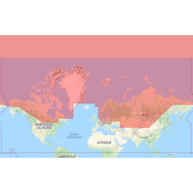
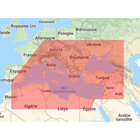
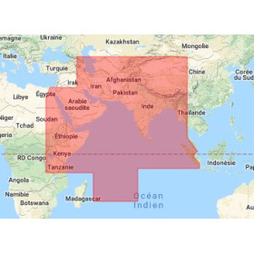
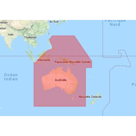
This volume covers global meteorological observation stations, including detailed coordinates for latitudes between -85° and 85° and longitudes spanning from -108° to 180°.

Is this publication updated annually?

The edition is valid for 2025, with updates typically released to reflect changes in meteorological observation stations and maritime communication regulations.

What is the weight of the printed version?

The printed version weighs 1.9 kg, making it suitable for onboard use without adding significant bulk.

Can this guide be used for regulatory compliance?

Yes, it provides comprehensive details on maritime radio communications for weather observations, supporting compliance with reporting regulations during voyages.

What edition and year does this volume correspond to?

This is the 6th edition, published for the 2025 navigational year, with content based on data from 2017/2018.

Are digital or electronic versions available?

This specific product is available only in a printed A4 format, designed for reliable onboard reference.

Loading...