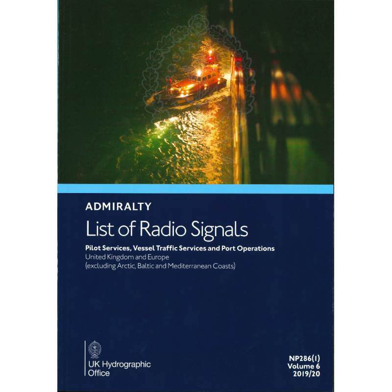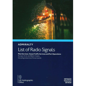




Maritime professionals rely on this guide for pilot services, VTS, and port operations in UK, Irish, and European Channel ports. Features contacts, procedures, and 300+ color diagrams for efficiency.
Data sheet
Specific References
Stay ahead of the curve with the most comprehensive and up-to-date resource for pilot services, vessel traffic services (VTS), and port operations. Designed for maritime professionals who demand accuracy and reliability, this publication is your go-to reference for navigating the waters of the United Kingdom, Ireland, and key European Channel ports. Whether you're a shipmaster, port authority, or maritime operator, this guide ensures you have the critical information needed for safe and efficient maritime operations.
This publication is tailored for professionals who operate in high-stakes maritime environments. It provides the tools needed to navigate complex waterways, comply with regulatory requirements, and optimize port operations. With its focus on practicality and precision, it is an invaluable resource for ship operators, port authorities, and maritime service providers.
This guide is more than just a reference—it’s a critical tool for ensuring safety, efficiency, and compliance in maritime operations. Whether you're planning a voyage, coordinating port activities, or managing vessel traffic, this publication provides the data you need to make informed decisions. Its comprehensive coverage and practical insights make it an essential addition to any maritime professional’s library.
Navigate with Confidence Using the Most Trusted Maritime Reference for Pilot and Port Operations
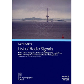
When precision and reliability are non-negotiable, the List of Radio Signals Volume 6 – Part 1 delivers the critical data maritime professionals need to ensure safe and efficient operations. This printed guide is the definitive resource for pilot services, vessel traffic services (VTS), and port operations across the United Kingdom, Ireland, and key European Channel ports, excluding Arctic, Baltic, and Mediterranean coastlines. Designed for shipmasters, port authorities, and maritime operators, it provides a comprehensive overview of essential maritime services, ensuring compliance with local and international regulations.
Comprehensive Data for Safe and Efficient Maritime Operations
This publication is packed with detailed information on pilot services, including contact details, boarding procedures, and operational protocols for ports in the covered regions. It also features up-to-date data on VTS centers, such as communication channels, reporting requirements, and traffic management systems, enabling seamless navigation in busy waterways. Additionally, it includes vital port operation details, such as berthing arrangements, facility information, and operational guidelines, helping to minimize delays and optimize port calls.
Visual Tools for Enhanced Situational Awareness
With over 300 full-color diagrams, this guide offers clear visual representations of traffic separation schemes, pilotage zones, and port layouts. These diagrams provide an intuitive understanding of complex maritime environments, allowing professionals to quickly assess navigational challenges and make informed decisions. Whether you're planning a voyage or managing vessel traffic, these visual aids are an invaluable resource for enhancing safety and efficiency.
Designed for Professionals Who Demand Accuracy and Reliability
Published by a globally recognized authority in hydrographic and maritime data, this guide adheres to the highest standards of accuracy and reliability. It is regularly updated through official Notices to Mariners, ensuring that the information remains current and compliant with the latest maritime regulations. The user-friendly format, with clear headings and indexes, allows for quick and easy access to critical data, making it an indispensable tool for maritime professionals.
This printed guide measures 297 x 210 mm (A4 format) and weighs approximately 1.2 kg, making it a practical and portable reference for maritime professionals. Published in English, it features a paperback binding for durability and ease of use. The 6th edition (2025) includes the latest updates and corrections, ensuring compliance with current maritime standards.
For over two centuries, this publisher has been a cornerstone of maritime navigation, providing accurate and reliable hydrographic data to professionals worldwide. Renowned for its commitment to safety and precision, it sets the standard for maritime publications, ensuring that navigators and port operators have access to the most up-to-date and trustworthy information available.
This volume covers pilot services, vessel traffic services, and port operations in the United Kingdom, Ireland, and European Channel ports, excluding Arctic, Baltic, and Mediterranean coasts.
Corrections are published in the Admiralty Notices to Mariners.
It includes over 300 color diagrams illustrating maritime traffic services, pilotage, and port operations.
No, this guide is only available in English.
The dimensions are 297 x 210 mm (A4), and it weighs approximately 1.2 kg.
This is the 6th edition, published for the 2025 navigational year, with content based on the 2017/2018 data.
Yes, it provides details on both national and international ship reporting systems.
You might also like