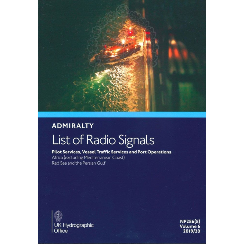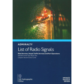




This guide ensures safe navigation in Africa, the Red Sea, and the Persian Gulf with detailed pilot services, VTS, and port operations data. Includes coordinates and 300+ color diagrams for accuracy.
Data sheet
Specific References
This essential reference provides up-to-date, detailed information on pilot services, vessel traffic services (VTS), and port operations across key maritime regions in Africa, the Red Sea, and the Persian Gulf. Designed for commercial shipping professionals, this volume ensures safe, efficient, and compliant navigation in some of the world’s busiest and most strategically important waterways.
Navigate Africa’s Critical Maritime Regions with Confidence
This authoritative guide delivers unparalleled coverage of pilot services, vessel traffic services (VTS), and port operations across Africa, the Red Sea, and the Persian Gulf. Designed for commercial shipping professionals, it provides the precise, up-to-date information needed to ensure safe, efficient, and compliant navigation in some of the world’s most strategically vital waterways. Whether entering the bustling ports of the UAE, transiting the Suez Canal, or navigating the complex VTS zones of the Persian Gulf, this volume is an indispensable resource for shipmasters, navigators, and maritime authorities.
Trusted Data for High-Stakes Maritime Operations
Part of the renowned Admiralty List of Radio Signals (ALRS) series, this publication consolidates critical data into a single, reliable source. It covers over 300 ports and maritime zones, including Bahrain, Iran, Iraq, Kuwait, Oman, Qatar, Saudi Arabia, the United Arab Emirates, and Yemen. With more than 300 full-color diagrams, it offers visual clarity on VTS coverage, pilotage routes, and port layouts, ensuring crews can anticipate challenges and plan routes with precision. Updated annually and supplemented by Notices to Mariners, this guide guarantees compliance with international maritime regulations, including SOLAS and IMO standards.
Built for the Demands of Professional Navigation
Weighing 1.9 kg, this printed edition is engineered for durability and ease of use in all maritime environments. Its structured layout allows for quick reference, while its comprehensive coverage—from pilot boarding procedures to port entry requirements—ensures no detail is overlooked. Whether operating in high-traffic zones or remote coastal areas, this guide equips maritime professionals with the tools they need to navigate safely, efficiently, and in full compliance with local and international regulations.
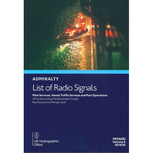
This printed guide is the 7th edition (2026) of the Admiralty List of Radio Signals Volume 6 – Part 8, covering pilot services, vessel traffic services, and port operations in Africa, the Red Sea, and the Persian Gulf. Published in English, it weighs 1.9 kg and is designed for professional maritime use, with over 300 full-color diagrams for enhanced clarity and reference.
For over two centuries, this hydrographic authority has set the global standard for maritime navigation publications. Renowned for accuracy, reliability, and compliance with international regulations, their publications are trusted by commercial shipping fleets, naval forces, and maritime authorities worldwide. Each edition is meticulously updated to reflect the latest navigational data, ensuring safety and efficiency in even the most challenging maritime environments.
This volume covers pilot services, vessel traffic services, and port operations for Africa (excluding the Mediterranean coast), the Red Sea, and the Persian Gulf, including ports in Bahrain, Iran, Iraq, Kuwait, Oman, Qatar, Saudi Arabia, the United Arab Emirates, and Yemen.
The publication is updated annually through new editions, with additional updates provided via Notices to Mariners as needed.
Yes, the volume includes over 300 color diagrams illustrating vessel traffic services, pilotage, and port operations for clarity and ease of reference.
The paperback edition weighs approximately 1.9 kilograms.
Yes, it provides details on both national and international vessel reporting systems, including procedures and contact information.
Absolutely, it is designed for professional use, offering precise technical details on pilot services, vessel traffic services, and port operations in the specified regions.
This is the 7th edition, published for the 2016/2017 period, with the current edition valid for 2026.
You might also like