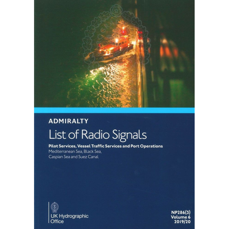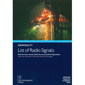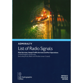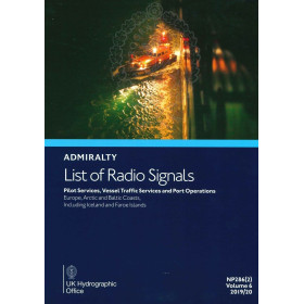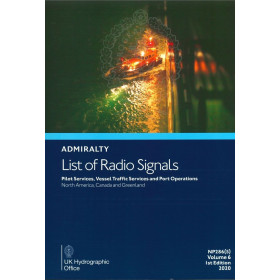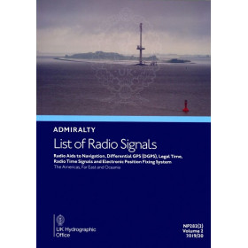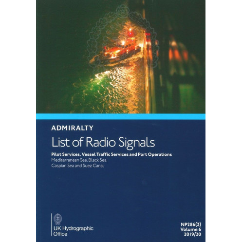


Admiralty - NP286(3) - List of Radio Signals Volume 6 - Part 3, Pilot Services, Vessel Traffic Services and Port Operations Medi
search
  • googlemap
  • Admiralty - NP286(3) - List of Radio Signals Volume 6 - Part 3, Pilot Services, Vessel Traffic Services and Port Operations Medi

Admiralty - NP286(3) - List of Radio Signals Volume 6 - Part 3, Pilot Services, Vessel Traffic Services and Port Operations Medi

€127.05
Tax included
Admiralty - United Kingdom Hydrographic Office
In English language
Estimated preparation time: 5 to 14 days

Navigate with confidence using this detailed guide for pilot services, VTS, and port operations in the Mediterranean, Black Sea, and Suez Canal. Includes 300+ color diagrams and annual updates.

NP286(3)

Data sheet

Who is the publisher or the author?
Admiralty
On what digital medium is this nautical chart / book stored?
paper medium
From which year does this nautical chart date?
2017 / 2018
What type of navigation book is this?
radio signal guide
What is the size?
paper medium
Picto
In English language

Specific References

UPC
400000130101
EAN13
4000000108238
New
Description détaillée

List of Radio Signals Volume 6 – Part 3, Pilot Services, Vessel Traffic Services and Port Operations Mediterranean

Publication in English
Paperback edition

Your Essential Guide to Mediterranean and Black Sea Maritime Operations

Navigate the Mediterranean, Black Sea, Suez Canal, and adjacent African regions with confidence. This comprehensive nautical guide delivers critical, up-to-date information on pilot services, vessel traffic services (VTS), and port operations—all tailored for maritime professionals who demand precision and reliability. Designed for merchant navy officers, port authorities, and maritime operators, this volume ensures seamless compliance with international and local maritime regulations.

Why This Guide is Indispensable for Maritime Professionals

  • Stay ahead of regulatory changes with annual updates, ensuring your operations align with the latest maritime standards.
  • Access detailed procedures for pilotage, VTS, and port operations, reducing risks and enhancing operational efficiency.
  • Rely on over 300 color diagrams for clear, visual guidance on complex maritime procedures and reporting systems.
  • Optimize route planning with precise coordinates and procedural details for high-traffic areas like the Suez Canal and Gulf of Persia.

  • Ensure compliance with national and international ship reporting systems, minimizing delays and avoiding penalties.

Built for the Demands of Modern Maritime Operations

This guide is engineered for professionals who require accurate, actionable data at their fingertips. Whether you're navigating congested shipping lanes, coordinating with port authorities, or ensuring compliance with vessel traffic services, this volume provides the tools you need to operate safely and efficiently. Its paperback format ensures durability and ease of use, even in challenging onboard conditions.

Trusted by Maritime Experts Worldwide

As part of the globally recognized *List of Radio Signals* series, this publication is a cornerstone for maritime safety and efficiency. It is meticulously curated to support the needs of merchant navy crews, port operators, and maritime authorities, offering unparalleled reliability in critical situations. With its focus on the Mediterranean, Black Sea, and adjacent regions, it addresses the unique challenges of one of the world’s busiest maritime corridors.

Your Partner for Safe and Efficient Maritime Navigation

From pilot boarding procedures to port entry protocols, this guide covers every aspect of maritime operations in the region. It is an essential resource for those who prioritize safety, compliance, and operational excellence. Equip your vessel with the knowledge to navigate confidently—wherever your journey takes you.

Master Mediterranean and Black Sea Maritime Operations with Precision
This authoritative guide is the definitive resource for maritime professionals navigating the Mediterranean, Black Sea, Suez Canal, and adjacent African regions. Part of the esteemed List of Radio Signals series, it provides unparalleled coverage of pilot services, vessel traffic services (VTS), and port operations, ensuring compliance with both international and local maritime regulations. Updated annually, this volume reflects the latest procedural changes, making it an indispensable tool for merchant navy officers, port authorities, and maritime operators.

Comprehensive Coverage for High-Stakes Maritime Environments
Designed for the unique challenges of the Mediterranean and Black Sea, this guide includes detailed information on over 300 ports and maritime zones. It features precise coordinates, procedural guidelines, and reporting systems for high-traffic areas like the Suez Canal and Gulf of Persia. With over 300 color diagrams, it offers visual clarity for complex operations, from pilot boarding to port entry, reducing risks and enhancing operational efficiency.
Engineered for Reliability and Durability
Weighing 1.9 kg, this paperback edition is built to withstand the rigors of onboard use. Its durable format ensures easy access to critical information, even in demanding conditions. Whether you're coordinating with vessel traffic services or ensuring compliance with ship reporting systems, this guide provides the accuracy and reliability maritime professionals depend on.

Trusted by Industry Leaders for Over a Century
As a cornerstone of maritime navigation, this publication is trusted by crews, port operators, and maritime authorities worldwide. Its focus on the Mediterranean, Black Sea, and adjacent regions addresses the specific needs of one of the world’s busiest maritime corridors. With its annual updates, it ensures you stay ahead of regulatory changes, minimizing delays and avoiding costly penalties.

This essential maritime guide covers pilot services, vessel traffic services (VTS), and port operations for the Mediterranean, Black Sea, Suez Canal, and adjacent African regions. Published in its 6th edition (2025), it includes over 300 color diagrams, weighs 1.9 kg, and is available in a durable paperback format. Updated annually, it ensures compliance with the latest maritime regulations and procedural standards.

For over two centuries, this publisher has been a global leader in maritime navigation, providing accurate and reliable nautical publications. Their guides are trusted by merchant navy crews, port authorities, and maritime operators worldwide, ensuring safety and compliance in even the most challenging maritime environments.

  • Annual updates ensure compliance with the latest maritime regulations and procedural changes.
  • Over 300 color diagrams provide clear, visual guidance for complex operations.
  • Comprehensive coverage of pilot services, VTS, and port operations in high-traffic regions.
  • Durable paperback format designed for onboard use in demanding conditions.
  • Trusted by maritime professionals worldwide for accuracy and reliability.
What regions are covered in this volume for pilot services and port operations?

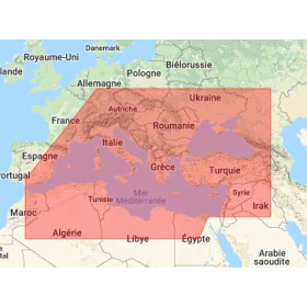
This volume covers pilot services, vessel traffic services, and port operations for the Mediterranean Sea, Black Sea, Suez Canal, and adjacent African regions including the Persian Gulf.

How often is this publication updated?

The publication is updated and released annually with the latest information and revisions.

What is the weight of the printed version?

The printed version weighs approximately 1.9 kilograms.

Are there visual aids included in this guide?

Yes, it includes over 300 color diagrams to assist with navigation and port operations.

What edition and publication date does this version correspond to?

This is the 6th edition, published on July 10, 2025.

Is this guide available in languages other than English?

No, this guide is only available in English.

What types of ship reporting systems are detailed in this volume?

It provides information on both national and international ship reporting systems relevant to the covered regions.

Loading...